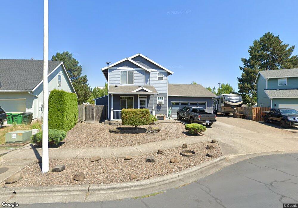
1599 Snapdragon Ln Forest Grove, OR 97116
Estimated Value: $435,000 - $484,000
3
Beds
3
Baths
1,294
Sq Ft
$355/Sq Ft
Est. Value
About This Home
This home is located at 1599 Snapdragon Ln, Forest Grove, OR 97116 and is currently estimated at $459,167, approximately $354 per square foot. 1599 Snapdragon Ln is a home located in Washington County with nearby schools including Harvey Clarke Elementary School, Tom McCall Upper Elementary School, and Neil Armstrong Middle School.
Ownership History
Date
Name
Owned For
Owner Type
Purchase Details
Closed on
Nov 21, 2000
Sold by
Skyline Development Inc
Bought by
Gutierrez Gilbert
Current Estimated Value
Home Financials for this Owner
Home Financials are based on the most recent Mortgage that was taken out on this home.
Original Mortgage
$139,847
Outstanding Balance
$50,782
Interest Rate
7.86%
Estimated Equity
$408,385
Create a Home Valuation Report for This Property
The Home Valuation Report is an in-depth analysis detailing your home's value as well as a comparison with similar homes in the area
Home Values in the Area
Average Home Value in this Area
Purchase History
| Date | Buyer | Sale Price | Title Company |
|---|---|---|---|
| Gutierrez Gilbert | $142,225 | Fidelity National Title Co |
Source: Public Records
Mortgage History
| Date | Status | Borrower | Loan Amount |
|---|---|---|---|
| Open | Gutierrez Gilbert | $139,847 |
Source: Public Records
Tax History Compared to Growth
Tax History
| Year | Tax Paid | Tax Assessment Tax Assessment Total Assessment is a certain percentage of the fair market value that is determined by local assessors to be the total taxable value of land and additions on the property. | Land | Improvement |
|---|---|---|---|---|
| 2026 | $4,288 | $240,800 | -- | -- |
| 2025 | $4,288 | $233,790 | -- | -- |
| 2024 | $4,137 | $226,990 | -- | -- |
| 2023 | $4,137 | $220,380 | $0 | $0 |
| 2022 | $3,617 | $220,380 | $0 | $0 |
| 2021 | $3,571 | $207,740 | $0 | $0 |
| 2020 | $3,551 | $201,690 | $0 | $0 |
| 2019 | $3,472 | $195,820 | $0 | $0 |
| 2018 | $3,366 | $190,120 | $0 | $0 |
| 2017 | $3,262 | $184,590 | $0 | $0 |
| 2016 | $3,170 | $179,220 | $0 | $0 |
| 2015 | $3,048 | $174,000 | $0 | $0 |
| 2014 | $3,033 | $168,940 | $0 | $0 |
Source: Public Records
Map
Nearby Homes
- 1224 Alyssum Ave
- 1425 Willamina Ave
- 1815 35th Ave
- 2180 36th Ave
- 2150 36th Ave
- 2130 36th Ave
- 2120 36th Ave
- 2160 36th Ave
- 2117 36th Ave Unit Lot 64
- 2133 36th Ave Unit Lot 62
- 3300 N Main St Unit 110
- 1219 34th Place
- 1611 Camino Dr
- 1609 Camino Dr
- 3522 Arleen Ct
- 3651 Tiana St
- 3655 Fieldstone St
- 1104 Magnolia Way
- 922 Rosebud Ct
- 2106 Charlie Ct
- 1599 Snapdragon Ln Unit 171
- 1591 Snapdragon Ln
- 1607 Snapdragon Ln
- 1583 Snapdragon Ln
- 1615 Snapdragon Ln
- 1598 Snapdragon Ln
- 1590 Snapdragon Ln
- 1639 Bonnie Ln
- 1575 Snapdragon Ln
- 1615 Bonnie Ln
- 1647 Bonnie Ln
- 1582 Snapdragon Ln
- 1610 Snapdragon Ln
- 1567 Snapdragon Ln
- 1655 Bonnie Ln
- 1605 Bonnie Ln
- 1574 Snapdragon Ln
- 1663 Bonnie Ln
- 1597 Bonnie Ln
- 1524 Nichols Ln