Estimated Value: $306,648
--
Bed
--
Bath
2,688
Sq Ft
$114/Sq Ft
Est. Value
About This Home
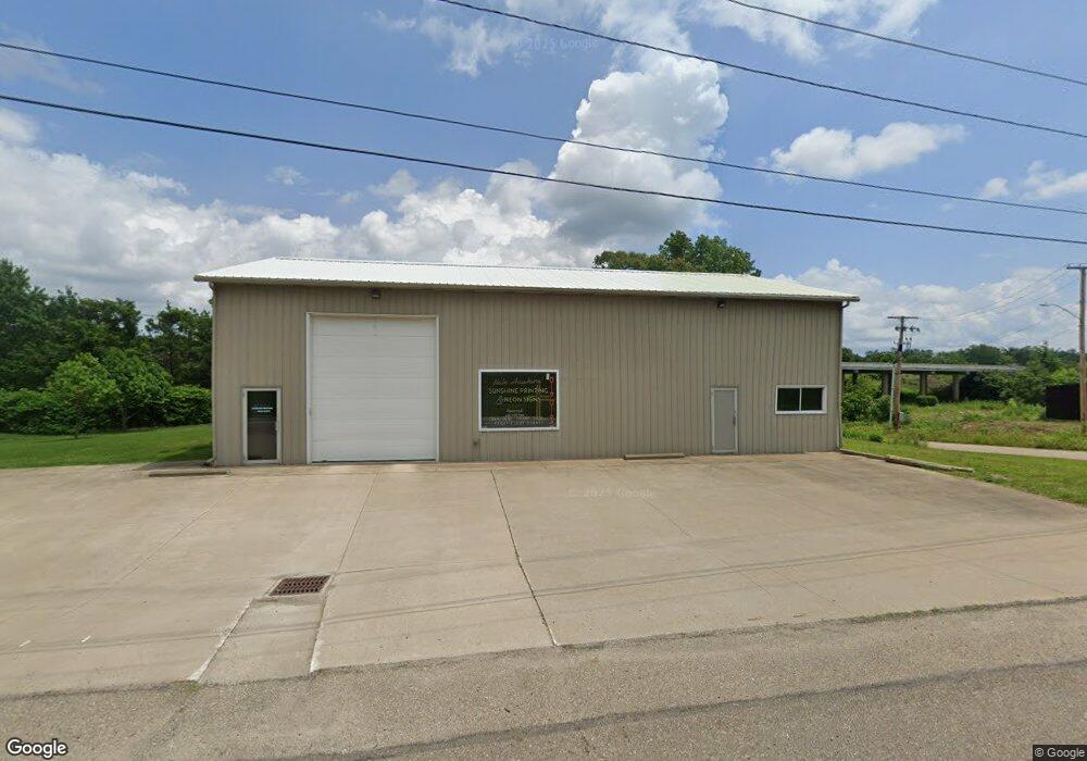
This home is located at 1599 State Route 39 NW, Dover, OH 44622 and is currently estimated at $306,648, approximately $114 per square foot. 1599 State Route 39 NW is a home located in Tuscarawas County with nearby schools including Dover High School and Tuscarawas Central Catholic Elementary School.
Ownership History
Date
Name
Owned For
Owner Type
Purchase Details
Closed on
Dec 10, 2013
Sold by
Espenschied Randa L
Bought by
Fbc Land Investments Ltd
Current Estimated Value
Home Financials for this Owner
Home Financials are based on the most recent Mortgage that was taken out on this home.
Original Mortgage
$150,000
Outstanding Balance
$111,626
Interest Rate
4.1%
Mortgage Type
Commercial
Estimated Equity
$195,022
Purchase Details
Closed on
May 8, 2006
Sold by
Rosenberry Laura L
Bought by
Espenschied Randa L
Home Financials for this Owner
Home Financials are based on the most recent Mortgage that was taken out on this home.
Original Mortgage
$145,000
Interest Rate
6.99%
Mortgage Type
Commercial
Purchase Details
Closed on
Feb 24, 2006
Sold by
Estate Of David G Rosenberry
Bought by
Rosenberry Laura L
Purchase Details
Closed on
Aug 23, 1990
Bought by
Fbc Land Investments Ltd
Create a Home Valuation Report for This Property
The Home Valuation Report is an in-depth analysis detailing your home's value as well as a comparison with similar homes in the area
Home Values in the Area
Average Home Value in this Area
Purchase History
| Date | Buyer | Sale Price | Title Company |
|---|---|---|---|
| Fbc Land Investments Ltd | $150,000 | None Available | |
| Espenschied Randa L | $145,000 | None Available | |
| Rosenberry Laura L | -- | None Available | |
| Fbc Land Investments Ltd | $20,000 | -- |
Source: Public Records
Mortgage History
| Date | Status | Borrower | Loan Amount |
|---|---|---|---|
| Open | Fbc Land Investments Ltd | $150,000 | |
| Previous Owner | Espenschied Randa L | $145,000 |
Source: Public Records
Tax History Compared to Growth
Tax History
| Year | Tax Paid | Tax Assessment Tax Assessment Total Assessment is a certain percentage of the fair market value that is determined by local assessors to be the total taxable value of land and additions on the property. | Land | Improvement |
|---|---|---|---|---|
| 2024 | $2,006 | $36,600 | $15,530 | $21,070 |
| 2023 | $2,006 | $104,570 | $44,370 | $60,200 |
| 2022 | $2,080 | $36,600 | $15,530 | $21,070 |
| 2021 | $1,956 | $30,934 | $11,505 | $19,429 |
| 2020 | $1,959 | $30,934 | $11,505 | $19,429 |
| 2019 | $1,971 | $30,934 | $11,505 | $19,429 |
| 2018 | $2,011 | $30,930 | $11,500 | $19,430 |
| 2017 | $2,021 | $30,930 | $11,500 | $19,430 |
| 2016 | $2,023 | $30,930 | $11,500 | $19,430 |
| 2014 | $1,783 | $27,980 | $11,500 | $16,480 |
| 2013 | $1,853 | $27,980 | $11,500 | $16,480 |
Source: Public Records
Map
Nearby Homes
- 1592 Pleasant View Dr NW
- 0000 Red Hill Rd NW
- 159 Charles Dr
- 2180 Kimberley Dr NW
- 214 Liberty St
- 1023 Prospect Ave NW
- 245 E Wills Ave
- 414 E Wills Ave
- 614 10th Dr NW
- 635 Jordan Dr NW
- 221 S James St
- 1063 Grant Ave NW
- 671 Orchard Ave NW
- 825 Zella Ave NW
- 442 E 4th St
- 334 Monroe St
- 227 E Slingluff Ave
- 644 Orchard Ave NW
- 450 E 5th St
- 605 Bond St
- 1561 State Route 39 NW
- 1641 State Route 39 NW
- 1556 State Route 39 NW
- 1600 State Route 39 NW
- 1491 Circle Dr NW
- 1476 Circle Dr NW
- 1538 State Route 39 NW
- 1573 State Route 39 NW
- 1693 N Hill Rd NW
- 1664 Hillcrest Dr NW
- 1435 Circle Dr NW
- 1667 N Hill Rd NW
- 1533 Pleasant View Dr NW
- 1531 Country Aire Rd NW
- 1696 N Hill Rd NW
- 1715 Hillcrest Dr NW
- 1667 State Route 39 NW
- 1667 Ohio 39
- 1521 State Route 39 NW
- 1635 N Hill Rd NW