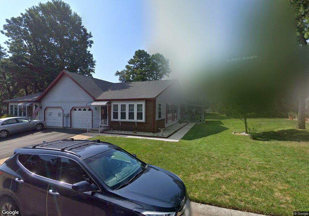
15B Ivy Ct Whiting, NJ 08759
Manchester Township NeighborhoodEstimated Value: $227,019 - $264,000
2
Beds
2
Baths
1,544
Sq Ft
$161/Sq Ft
Est. Value
About This Home
This home is located at 15B Ivy Ct, Whiting, NJ 08759 and is currently estimated at $248,255, approximately $160 per square foot. 15B Ivy Ct is a home located in Ocean County with nearby schools including Manchester Township High School.
Ownership History
Date
Name
Owned For
Owner Type
Purchase Details
Closed on
Oct 17, 2017
Sold by
Sellers James and Mccrary Annie W
Bought by
Imbro Ruth
Current Estimated Value
Home Financials for this Owner
Home Financials are based on the most recent Mortgage that was taken out on this home.
Original Mortgage
$108,000
Outstanding Balance
$90,235
Interest Rate
3.83%
Mortgage Type
New Conventional
Estimated Equity
$158,020
Purchase Details
Closed on
May 27, 1999
Sold by
Reuter Paul L and Reuter Richard L
Bought by
Seward William and Seward Dorothy
Create a Home Valuation Report for This Property
The Home Valuation Report is an in-depth analysis detailing your home's value as well as a comparison with similar homes in the area
Home Values in the Area
Average Home Value in this Area
Purchase History
| Date | Buyer | Sale Price | Title Company |
|---|---|---|---|
| Imbro Ruth | $135,000 | Old Republic National Title | |
| Seward William | $62,500 | -- |
Source: Public Records
Mortgage History
| Date | Status | Borrower | Loan Amount |
|---|---|---|---|
| Open | Imbro Ruth | $108,000 |
Source: Public Records
Tax History Compared to Growth
Tax History
| Year | Tax Paid | Tax Assessment Tax Assessment Total Assessment is a certain percentage of the fair market value that is determined by local assessors to be the total taxable value of land and additions on the property. | Land | Improvement |
|---|---|---|---|---|
| 2025 | $2,605 | $236,900 | $52,100 | $184,800 |
| 2024 | $2,472 | $106,100 | $9,600 | $96,500 |
| 2023 | $2,350 | $106,100 | $9,600 | $96,500 |
| 2022 | $2,350 | $106,100 | $9,600 | $96,500 |
| 2021 | $2,299 | $106,100 | $9,600 | $96,500 |
| 2020 | $2,239 | $106,100 | $9,600 | $96,500 |
| 2019 | $1,867 | $72,800 | $9,600 | $63,200 |
| 2018 | $1,860 | $72,800 | $9,600 | $63,200 |
| 2017 | $1,867 | $72,800 | $9,600 | $63,200 |
| 2016 | $1,595 | $72,800 | $9,600 | $63,200 |
| 2015 | $1,561 | $72,800 | $9,600 | $63,200 |
| 2014 | $1,523 | $72,800 | $9,600 | $63,200 |
Source: Public Records
Map
Nearby Homes
- 18A Sunset Rd
- 17B Drake St
- 17 B Drake St Sec 54a
- 7A Drake St Unit B
- 7 B Drake St Sec 53
- 4 B Ivy St Sec 52 Unit B
- 14A Penwood Dr Unit A
- 4B Ivy St
- 81A Milford Ave
- 3B Drake St Unit 53
- 4B Pembroke Ln Unit 52
- 46 Milford Ave Unit A
- 48B Auburn St Unit 54B
- 44B Sunset Rd Unit 55
- 11 Ardmore St
- 36 Penwood Dr Unit 55
- 13A Quincy Dr
- 6B Ardmore St
- 6 Ardmore St Unit A
- 51A Sunset Rd