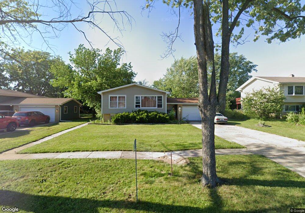
15W668 Patricia Ln Elmhurst, IL 60126
Estimated Value: $398,083 - $490,000
--
Bed
1
Bath
2,498
Sq Ft
$181/Sq Ft
Est. Value
About This Home
This home is located at 15W668 Patricia Ln, Elmhurst, IL 60126 and is currently estimated at $451,271, approximately $180 per square foot. 15W668 Patricia Ln is a home located in DuPage County with nearby schools including Conrad Fischer Elementary School, Churchville Middle School, and York Community High School.
Ownership History
Date
Name
Owned For
Owner Type
Purchase Details
Closed on
Jun 17, 2022
Sold by
Tus and Ogla
Bought by
Trust Number 8002389196
Current Estimated Value
Purchase Details
Closed on
Nov 4, 1998
Sold by
Pofelski Lucille H
Bought by
Tus Jose
Home Financials for this Owner
Home Financials are based on the most recent Mortgage that was taken out on this home.
Original Mortgage
$176,800
Interest Rate
6.8%
Create a Home Valuation Report for This Property
The Home Valuation Report is an in-depth analysis detailing your home's value as well as a comparison with similar homes in the area
Home Values in the Area
Average Home Value in this Area
Purchase History
| Date | Buyer | Sale Price | Title Company |
|---|---|---|---|
| Trust Number 8002389196 | -- | Acosta A Valerie | |
| Tus Jose | $208,000 | -- |
Source: Public Records
Mortgage History
| Date | Status | Borrower | Loan Amount |
|---|---|---|---|
| Previous Owner | Tus Jose | $176,800 |
Source: Public Records
Tax History Compared to Growth
Tax History
| Year | Tax Paid | Tax Assessment Tax Assessment Total Assessment is a certain percentage of the fair market value that is determined by local assessors to be the total taxable value of land and additions on the property. | Land | Improvement |
|---|---|---|---|---|
| 2024 | $7,312 | $141,588 | $54,695 | $86,893 |
| 2023 | $7,157 | $130,160 | $50,280 | $79,880 |
| 2022 | $6,594 | $120,050 | $46,330 | $73,720 |
| 2021 | $6,284 | $114,990 | $44,380 | $70,610 |
| 2020 | $5,885 | $110,140 | $42,510 | $67,630 |
| 2019 | $5,827 | $105,900 | $40,870 | $65,030 |
| 2018 | $5,605 | $101,150 | $38,920 | $62,230 |
| 2017 | $5,470 | $96,680 | $37,200 | $59,480 |
| 2016 | $5,237 | $89,270 | $34,350 | $54,920 |
| 2015 | $5,108 | $82,460 | $31,730 | $50,730 |
| 2014 | $4,727 | $71,860 | $30,800 | $41,060 |
| 2013 | $4,682 | $73,330 | $31,430 | $41,900 |
Source: Public Records
Map
Nearby Homes
- 1043 S York Rd Unit 209
- 1043 S York Rd Unit 208
- 1043 S York Rd Unit 411
- 1043 S York Rd Unit 605
- 909 N Addison Ave
- 841 N York St Unit 101
- 841 N York St Unit 129
- 3N425 N Howard Ave
- 3N276 N Howard Ave
- 128 David Dr
- 791 N Adele St
- 1010 Judson St Unit 2B
- 1010 Judson St Unit 2A
- 342 Diana Ct
- 311 George St
- 634 N Kenilworth Ave
- 809 Brentwood Dr
- 4N014 Church Rd
- 738 N Parker St
- 728 N Parker St
- 15W674 Patricia Ln
- 15W654 Patricia Ln
- 15W663 Virginia Ln
- 15W655 Virginia Ln
- 15W644 Patricia Ln
- 15W673 Virginia Ln
- 15W663 Patricia Ln
- 15W683 Virginia Ln
- 15W645 Virginia Ln
- 15W671 Patricia Ln
- 15W651 Patricia Ln
- 15W634 Patricia Ln
- 15W704 Patricia Ln
- 3N455 Patricia Ln
- 15W635 Virginia Ln
- 15W707 Virginia Ln
- 15W641 Patricia Ln
- 971 Virginia Ln
- 15W714 Patricia Ln
- 15W624 Patricia Ln