16 1st St Westport, MA 02790
South Westport NeighborhoodEstimated Value: $967,000 - $1,043,604
2
Beds
2
Baths
2,068
Sq Ft
$489/Sq Ft
Est. Value
About This Home
This home is located at 16 1st St, Westport, MA 02790 and is currently estimated at $1,010,901, approximately $488 per square foot. 16 1st St is a home located in Bristol County with nearby schools including Alice A. Macomber Primary School, Westport Elementary School, and Westport Middle-High School.
Ownership History
Date
Name
Owned For
Owner Type
Purchase Details
Closed on
Jul 22, 2016
Sold by
Pavao Mary and Pavao Antonio V
Bought by
Brum Antonio M and Brum Theresa C
Current Estimated Value
Purchase Details
Closed on
Jun 12, 2006
Sold by
Mayall Bruce A and Small Garry A
Bought by
Pavao Antonio V and Pavao Mary
Purchase Details
Closed on
Apr 25, 2005
Sold by
Hopfgarten Rudy C Est
Bought by
Pavao Antonio V and Pavao Mary
Home Financials for this Owner
Home Financials are based on the most recent Mortgage that was taken out on this home.
Original Mortgage
$359,650
Interest Rate
5.87%
Mortgage Type
Purchase Money Mortgage
Create a Home Valuation Report for This Property
The Home Valuation Report is an in-depth analysis detailing your home's value as well as a comparison with similar homes in the area
Home Values in the Area
Average Home Value in this Area
Purchase History
| Date | Buyer | Sale Price | Title Company |
|---|---|---|---|
| Brum Antonio M | $545,000 | -- | |
| Pavao Antonio V | $6,000 | -- | |
| Pavao Antonio V | $450,000 | -- |
Source: Public Records
Mortgage History
| Date | Status | Borrower | Loan Amount |
|---|---|---|---|
| Previous Owner | Pavao Antonio V | $359,650 | |
| Previous Owner | Pavao Antonio V | $200,000 |
Source: Public Records
Tax History Compared to Growth
Tax History
| Year | Tax Paid | Tax Assessment Tax Assessment Total Assessment is a certain percentage of the fair market value that is determined by local assessors to be the total taxable value of land and additions on the property. | Land | Improvement |
|---|---|---|---|---|
| 2025 | $6,115 | $820,800 | $462,700 | $358,100 |
| 2024 | $6,019 | $778,700 | $428,700 | $350,000 |
| 2023 | $6,028 | $738,700 | $408,300 | $330,400 |
| 2022 | $5,982 | $705,400 | $408,300 | $297,100 |
| 2021 | $5,671 | $657,900 | $371,200 | $286,700 |
| 2020 | $5,420 | $643,000 | $356,300 | $286,700 |
| 2019 | $5,092 | $615,700 | $350,700 | $265,000 |
| 2018 | $5,112 | $625,700 | $362,600 | $263,100 |
| 2017 | $5,110 | $641,200 | $362,600 | $278,600 |
| 2016 | $4,836 | $611,400 | $362,600 | $248,800 |
| 2015 | $5,015 | $632,400 | $386,800 | $245,600 |
Source: Public Records
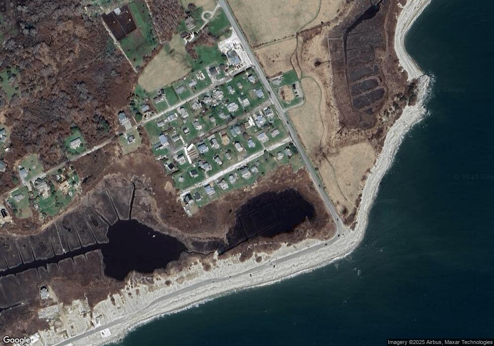
Map
Nearby Homes
- 238-242 E Beach Rd
- Lot 2 Horseneck Rd
- 1702 Drift Rd
- 1702J Drift Rd
- 1881 Main Rd
- Lot 2E Horseneck Rd
- 99 Sylvia Ln
- 1749 Main Rd
- 158 Little River Rd
- 1580 Main Rd
- Lot 1 Rafael Rd
- 61 Pardon Hill Rd
- 2 Slades Farm Ln
- 12 Meadow Shores Rd
- 24 White Alder Way
- 1346 Main Rd Unit B
- 304 Brayton Point Rd
- 482 Smith Neck Rd
- 24 Eagle Dr
- 19 Seabury Ln