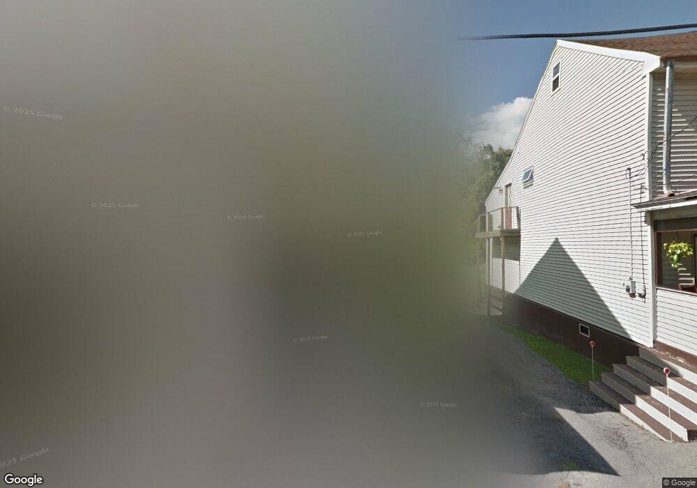
16 Ann St Pottsville, PA 17901
Estimated Value: $119,009 - $160,000
4
Beds
--
Bath
1,767
Sq Ft
$78/Sq Ft
Est. Value
About This Home
This home is located at 16 Ann St, Pottsville, PA 17901 and is currently estimated at $138,002, approximately $78 per square foot. 16 Ann St is a home with nearby schools including Saint Clair Area Elementary/Middle School, Gillingham Charter School, and ASSUMPTION BVM SCHOOL.
Ownership History
Date
Name
Owned For
Owner Type
Purchase Details
Closed on
Feb 13, 2007
Sold by
Hossler Michael A and Hossler Jennifer L
Bought by
Jacobson Daniel M
Current Estimated Value
Home Financials for this Owner
Home Financials are based on the most recent Mortgage that was taken out on this home.
Original Mortgage
$60,000
Outstanding Balance
$36,157
Interest Rate
6.27%
Mortgage Type
New Conventional
Estimated Equity
$101,845
Purchase Details
Closed on
May 16, 2006
Sold by
Barr Shawn and Barr Michele
Bought by
Hossler Michael A and Hossler Jennifer L
Home Financials for this Owner
Home Financials are based on the most recent Mortgage that was taken out on this home.
Original Mortgage
$49,600
Interest Rate
6.42%
Mortgage Type
Purchase Money Mortgage
Create a Home Valuation Report for This Property
The Home Valuation Report is an in-depth analysis detailing your home's value as well as a comparison with similar homes in the area
Home Values in the Area
Average Home Value in this Area
Purchase History
| Date | Buyer | Sale Price | Title Company |
|---|---|---|---|
| Jacobson Daniel M | $80,000 | None Available | |
| Hossler Michael A | $26,337 | None Available |
Source: Public Records
Mortgage History
| Date | Status | Borrower | Loan Amount |
|---|---|---|---|
| Open | Jacobson Daniel M | $60,000 | |
| Previous Owner | Hossler Michael A | $49,600 |
Source: Public Records
Tax History Compared to Growth
Tax History
| Year | Tax Paid | Tax Assessment Tax Assessment Total Assessment is a certain percentage of the fair market value that is determined by local assessors to be the total taxable value of land and additions on the property. | Land | Improvement |
|---|---|---|---|---|
| 2025 | $1,385 | $21,065 | $6,000 | $15,065 |
| 2024 | $1,296 | $21,065 | $6,000 | $15,065 |
| 2023 | $1,233 | $21,065 | $6,000 | $15,065 |
| 2022 | $1,233 | $21,065 | $6,000 | $15,065 |
| 2021 | $1,245 | $21,065 | $6,000 | $15,065 |
| 2020 | $1,245 | $21,065 | $6,000 | $15,065 |
| 2018 | $1,220 | $21,065 | $6,000 | $15,065 |
| 2017 | $1,172 | $21,065 | $6,000 | $15,065 |
| 2015 | -- | $21,065 | $6,000 | $15,065 |
| 2011 | -- | $21,065 | $0 | $0 |
Source: Public Records
Map
Nearby Homes
- 438 S Front St
- 219 S 3rd St
- 122 S 3rd St
- 320 S Mill St
- 108 Cherry St
- 101 S 2nd St
- 20 S 2nd St
- 225 Cherry St
- 32 S Front St
- 212 Broad St
- 145 Chamberlaine Ave
- 48 N 2nd St
- 311 Broad St
- 309 Chestnut St
- 702 & 698 Port Carbon St Clair Hwy
- 665 Port Carbon Saint Clair Hwy
- 0 Caroline Ave Unit PASK2022658
- 144 N Mill St
- 350 North St
- 820 Water St