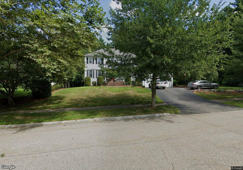
16 Applewood Rd Norfolk, MA 02056
Estimated Value: $971,000 - $1,188,000
4
Beds
3
Baths
2,784
Sq Ft
$386/Sq Ft
Est. Value
About This Home
This home is located at 16 Applewood Rd, Norfolk, MA 02056 and is currently estimated at $1,073,925, approximately $385 per square foot. 16 Applewood Rd is a home located in Norfolk County with nearby schools including H. Olive Day School, Freeman-Kennedy School, and Woodside Montessori Academy.
Ownership History
Date
Name
Owned For
Owner Type
Purchase Details
Closed on
May 16, 2003
Sold by
Intoccia Dev Corp
Bought by
Iantosca Michael J and Iantosca Natalie M
Current Estimated Value
Home Financials for this Owner
Home Financials are based on the most recent Mortgage that was taken out on this home.
Original Mortgage
$200,000
Outstanding Balance
$87,240
Interest Rate
5.84%
Mortgage Type
Purchase Money Mortgage
Estimated Equity
$986,685
Create a Home Valuation Report for This Property
The Home Valuation Report is an in-depth analysis detailing your home's value as well as a comparison with similar homes in the area
Home Values in the Area
Average Home Value in this Area
Purchase History
| Date | Buyer | Sale Price | Title Company |
|---|---|---|---|
| Iantosca Michael J | $576,096 | -- |
Source: Public Records
Mortgage History
| Date | Status | Borrower | Loan Amount |
|---|---|---|---|
| Open | Iantosca Michael J | $200,000 |
Source: Public Records
Tax History Compared to Growth
Tax History
| Year | Tax Paid | Tax Assessment Tax Assessment Total Assessment is a certain percentage of the fair market value that is determined by local assessors to be the total taxable value of land and additions on the property. | Land | Improvement |
|---|---|---|---|---|
| 2025 | $13,570 | $849,700 | $243,700 | $606,000 |
| 2024 | $13,224 | $849,300 | $243,700 | $605,600 |
| 2023 | $12,491 | $761,200 | $243,700 | $517,500 |
| 2022 | $11,582 | $636,400 | $228,300 | $408,100 |
| 2021 | $11,193 | $622,200 | $221,700 | $400,500 |
| 2020 | $11,292 | $605,800 | $201,800 | $404,000 |
| 2019 | $10,861 | $593,800 | $201,800 | $392,000 |
| 2018 | $10,388 | $557,900 | $201,800 | $356,100 |
| 2017 | $10,238 | $561,900 | $201,800 | $360,100 |
| 2016 | $10,161 | $562,000 | $209,500 | $352,500 |
| 2015 | $9,771 | $553,300 | $196,900 | $356,400 |
| 2014 | $9,545 | $547,600 | $196,900 | $350,700 |
Source: Public Records
Map
Nearby Homes
- 27 Whichita Rd
- 23 Algonquin Rd
- 29 Wildwood Rd Unit 29
- 2 Gerald Ave
- 10 Stop River Rd
- 28 Forest Rd
- 13 Stop River Rd
- 63 Thomas Mann Cir Unit 36
- 57 Thomas Mann Cir Unit 57
- 136 Spring St
- 53 Thomas Mann Cir Unit 31
- 51 Thomas Mann Unit 30
- The Georgetown L Plan at Lakeland Hills
- The Georgetown Grand L Plan at Lakeland Hills
- The Georgetown R Plan at Lakeland Hills
- The Georgetown Grand R Plan at Lakeland Hills
- 42 Thomas Mann Unit 39
- 16 Stop River Rd
- 25 Bayberry Cir Unit 25
- 37 Thomas Mann Cir Unit 23
- 18 Applewood Rd
- 14 Applewood Rd
- 17 Applewood Rd
- 15 Applewood Rd
- 100 Applewood Rd
- 36 Willow Place
- 17 Willow Place
- 12 Applewood Rd
- 19 Applewood Rd
- 11 Applewood Rd
- 15 Willow Place
- 10 Applewood Rd
- 20 Applewood Rd
- 12 Willow Place
- 31 Pennacook St
- 33 Pennacook St
- 29 Pennacook St
- 9 Applewood Rd
- 35 Pennacook St
- 27 Pennacook St