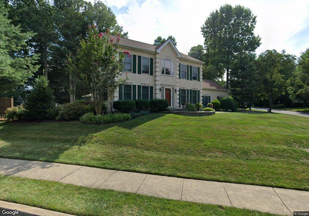
16 Ardrossan Ave West Chester, PA 19382
Estimated Value: $741,413 - $882,000
4
Beds
3
Baths
2,779
Sq Ft
$285/Sq Ft
Est. Value
About This Home
This home is located at 16 Ardrossan Ave, West Chester, PA 19382 and is currently estimated at $792,103, approximately $285 per square foot. 16 Ardrossan Ave is a home located in Chester County with nearby schools including Sarah W Starkweather Elementary School, Stetson Middle School, and Bayard Rustin High School.
Ownership History
Date
Name
Owned For
Owner Type
Purchase Details
Closed on
Mar 10, 1994
Sold by
Gambone Bros Development Co
Bought by
Ryan Richard and Ryan Lisa A
Current Estimated Value
Home Financials for this Owner
Home Financials are based on the most recent Mortgage that was taken out on this home.
Original Mortgage
$180,000
Interest Rate
6.93%
Create a Home Valuation Report for This Property
The Home Valuation Report is an in-depth analysis detailing your home's value as well as a comparison with similar homes in the area
Home Values in the Area
Average Home Value in this Area
Purchase History
| Date | Buyer | Sale Price | Title Company |
|---|---|---|---|
| Ryan Richard | $208,240 | -- |
Source: Public Records
Mortgage History
| Date | Status | Borrower | Loan Amount |
|---|---|---|---|
| Closed | Ryan Richard | $180,000 |
Source: Public Records
Tax History Compared to Growth
Tax History
| Year | Tax Paid | Tax Assessment Tax Assessment Total Assessment is a certain percentage of the fair market value that is determined by local assessors to be the total taxable value of land and additions on the property. | Land | Improvement |
|---|---|---|---|---|
| 2025 | $6,691 | $216,480 | $45,320 | $171,160 |
| 2024 | $6,691 | $216,480 | $45,320 | $171,160 |
| 2023 | $6,645 | $216,480 | $45,320 | $171,160 |
| 2022 | $6,519 | $216,480 | $45,320 | $171,160 |
| 2021 | $6,432 | $216,480 | $45,320 | $171,160 |
| 2020 | $6,393 | $216,480 | $45,320 | $171,160 |
| 2019 | $6,309 | $216,480 | $45,320 | $171,160 |
| 2018 | $6,181 | $216,480 | $45,320 | $171,160 |
| 2017 | $6,054 | $216,480 | $45,320 | $171,160 |
| 2016 | $4,694 | $216,480 | $45,320 | $171,160 |
| 2015 | $4,694 | $216,480 | $45,320 | $171,160 |
| 2014 | $4,694 | $216,480 | $45,320 | $171,160 |
Source: Public Records
Map
Nearby Homes
- 123 E Street Rd
- 231 Caleb Dr Unit 21
- 1075 Westwood Dr
- 1261 Buck Ln
- 501 W Street Rd
- 111 Gilpin Dr
- 120 Gilpin Dr
- 600 Oaklea Ln
- 671 Casey Ln
- 1015 Adams Way
- 1119 S New St
- 102 Cheyney Dr
- 602 John Anthony Dr
- 1123 S New St
- 7 Garden Cir
- 1121 S New St
- 300 Greenbriar Dr
- 1252 Northgate Rd
- 515 Timberline Trail
- 436 Homestead Dr Unit 80C
- 14 Ardrossan Ave
- 100 Macroom Ave
- 12 Ardrossan Ave
- 15 Ardrossan Ave
- 13 Ardrossan Ave
- 102 Macroom Ave
- 101 Macroom Ave
- 11 Ardrossan Ave
- 10 Ardrossan Ave
- 103 Macroom Ave
- 7 Ardrossan Ave
- 104 Macroom Ave
- 105 Macroom Ave
- 8 Ardrossan Ave
- 3 Ardrossan Ave
- 16 Kirkcaldy Dr
- 14 Kirkcaldy Dr
- 106 Macroom Ave
- 100 Lockerbie Ln
- 107 Macroom Ave