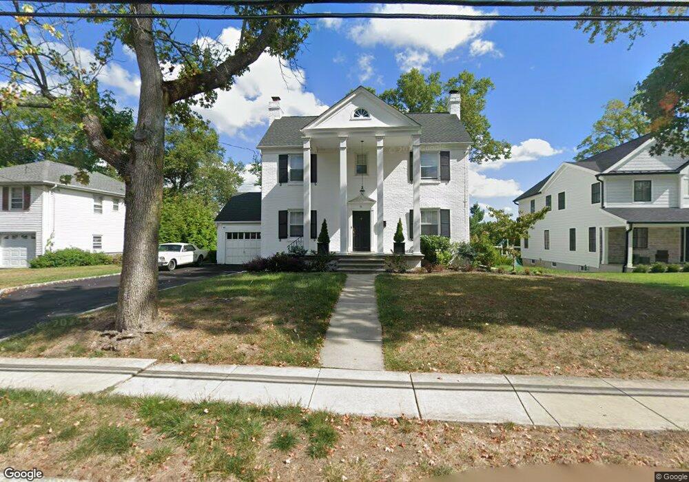
16 Baker Rd Livingston, NJ 07039
Estimated Value: $980,000 - $1,288,000
--
Bed
--
Bath
1,913
Sq Ft
$604/Sq Ft
Est. Value
About This Home
This home is located at 16 Baker Rd, Livingston, NJ 07039 and is currently estimated at $1,155,164, approximately $603 per square foot. 16 Baker Rd is a home located in Essex County with nearby schools including Livingston Sr High School, Joseph Kushner Hebrew Academy, and Sinai Schools Maor.
Ownership History
Date
Name
Owned For
Owner Type
Purchase Details
Closed on
Dec 17, 2010
Sold by
Michalek William
Bought by
Rahman Noushi
Current Estimated Value
Home Financials for this Owner
Home Financials are based on the most recent Mortgage that was taken out on this home.
Original Mortgage
$386,100
Outstanding Balance
$260,231
Interest Rate
4.62%
Mortgage Type
New Conventional
Estimated Equity
$894,933
Purchase Details
Closed on
May 30, 2003
Sold by
Hallas Irene
Bought by
Michalek William
Home Financials for this Owner
Home Financials are based on the most recent Mortgage that was taken out on this home.
Original Mortgage
$250,000
Interest Rate
5.86%
Create a Home Valuation Report for This Property
The Home Valuation Report is an in-depth analysis detailing your home's value as well as a comparison with similar homes in the area
Home Values in the Area
Average Home Value in this Area
Purchase History
| Date | Buyer | Sale Price | Title Company |
|---|---|---|---|
| Rahman Noushi | $429,000 | Fidelity Natl Title Ins Co | |
| Michalek William | $300,000 | -- |
Source: Public Records
Mortgage History
| Date | Status | Borrower | Loan Amount |
|---|---|---|---|
| Open | Rahman Noushi | $386,100 | |
| Previous Owner | Michalek William | $250,000 |
Source: Public Records
Tax History Compared to Growth
Tax History
| Year | Tax Paid | Tax Assessment Tax Assessment Total Assessment is a certain percentage of the fair market value that is determined by local assessors to be the total taxable value of land and additions on the property. | Land | Improvement |
|---|---|---|---|---|
| 2025 | $16,122 | $679,700 | $314,900 | $364,800 |
| 2024 | $16,122 | $679,700 | $314,900 | $364,800 |
| 2022 | $15,857 | $679,700 | $314,900 | $364,800 |
| 2021 | $15,728 | $679,700 | $314,900 | $364,800 |
| 2020 | $15,436 | $679,700 | $314,900 | $364,800 |
| 2019 | $11,223 | $429,000 | $380,500 | $48,500 |
| 2018 | $11,072 | $429,000 | $380,500 | $48,500 |
| 2017 | $10,927 | $429,000 | $380,500 | $48,500 |
| 2016 | $10,725 | $429,000 | $380,500 | $48,500 |
| 2015 | $10,566 | $429,000 | $380,500 | $48,500 |
| 2014 | $10,223 | $429,000 | $380,500 | $48,500 |
Source: Public Records
Map
Nearby Homes
- 11 Country Club Rd
- 8 Torrence Dr
- 5 Torrence Dr
- 27 Wingate Dr
- 11 Penwood Rd
- 98 Winged Foot Dr
- 17 Penwood Rd
- 5 Foxcroft Dr
- 8 Roosevelt Terrace
- 8 Wynnewood Rd
- 15 North Dr
- 18 East Dr
- 27 Mounthaven Dr
- 18 Claremont Ave
- 32 Ridge Dr
- 14 Burnet Hill Rd
- 19 Hearthstone Terrace
- 204 W Northfield Rd
- 50 River Rd
- 40 Byron Place