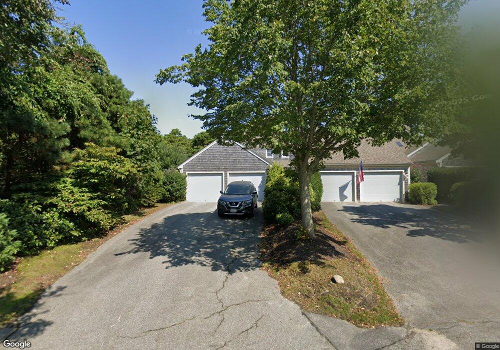
16 Blueberry Path Unit H Yarmouth Port, MA 02675
Yarmouth Port NeighborhoodEstimated Value: $670,000 - $844,000
2
Beds
4
Baths
2,762
Sq Ft
$280/Sq Ft
Est. Value
About This Home
This home is located at 16 Blueberry Path Unit H, Yarmouth Port, MA 02675 and is currently estimated at $772,959, approximately $279 per square foot. 16 Blueberry Path Unit H is a home located in Barnstable County with nearby schools including Dennis-Yarmouth Regional High School.
Ownership History
Date
Name
Owned For
Owner Type
Purchase Details
Closed on
Jul 17, 2023
Sold by
Cavanaugh George B
Bought by
George B Cavanaugh Ret and Cavanaugh
Current Estimated Value
Purchase Details
Closed on
Dec 11, 2009
Sold by
Putnam Clare K
Bought by
Cavanaugh George B and Cavanaugh Patricia H
Create a Home Valuation Report for This Property
The Home Valuation Report is an in-depth analysis detailing your home's value as well as a comparison with similar homes in the area
Home Values in the Area
Average Home Value in this Area
Purchase History
| Date | Buyer | Sale Price | Title Company |
|---|---|---|---|
| George B Cavanaugh Ret | -- | None Available | |
| Cavanaugh George B | $416,325 | -- |
Source: Public Records
Tax History Compared to Growth
Tax History
| Year | Tax Paid | Tax Assessment Tax Assessment Total Assessment is a certain percentage of the fair market value that is determined by local assessors to be the total taxable value of land and additions on the property. | Land | Improvement |
|---|---|---|---|---|
| 2025 | $5,522 | $780,000 | $0 | $780,000 |
| 2024 | $4,920 | $666,700 | $0 | $666,700 |
| 2023 | $4,382 | $540,300 | $0 | $540,300 |
| 2022 | $5,174 | $563,600 | $0 | $563,600 |
| 2021 | $4,846 | $506,900 | $0 | $506,900 |
| 2020 | $4,891 | $489,100 | $0 | $489,100 |
| 2019 | $4,586 | $454,100 | $0 | $454,100 |
| 2018 | $4,313 | $419,100 | $0 | $419,100 |
| 2017 | $4,024 | $401,600 | $0 | $401,600 |
| 2016 | $3,832 | $384,000 | $0 | $384,000 |
| 2015 | $3,920 | $390,400 | $0 | $390,400 |
Source: Public Records
Map
Nearby Homes
- 2 Pine Grove
- 25 Oak Glen
- 25 Oak Glen Village Unit 25
- 7 Forest Gate Unit 7
- 30 W Woods Cir Unit 30
- 30 W Woods
- 43 Canterbury Rd
- 17 Kates Path Unit A
- 228 Kates Path
- 34 Kates Path
- 34 Kates Path Unit 34
- 64 Kates Path
- 86 Pompano Rd
- 1 Barnacle Rd
- 50 John Hall Cartway
- 50 John Hall Cartway Unit 50
- 42 John Hall Cartway Unit 42
- 44 Stratford Ln
- 23 Dauphine Dr
- 24 Minnetuxet Way
- 16 Blueberry Path
- 14 Blueberry Path
- 12 Blueberry Path
- 16 Blueberry Path Unit 16B
- 14 Blueberry Path Unit 14
- 14 Blueberry Path Unit K
- 4 Blueberry Path
- 2 Blueberry Path
- 2 Blueberry Path Unit D
- 20 Blueberry Path
- 18 Blueberry Path
- 18 Blueberry Path Unit M
- 20 Blueberry Path Unit N
- 18 Pine Grove
- 16 Pine Grove
- 14 Pine Grove
- 16 Pine Grove Unit G
- 9 Pine Reach
- 7 Pine Reach
- 5 Pine Reach