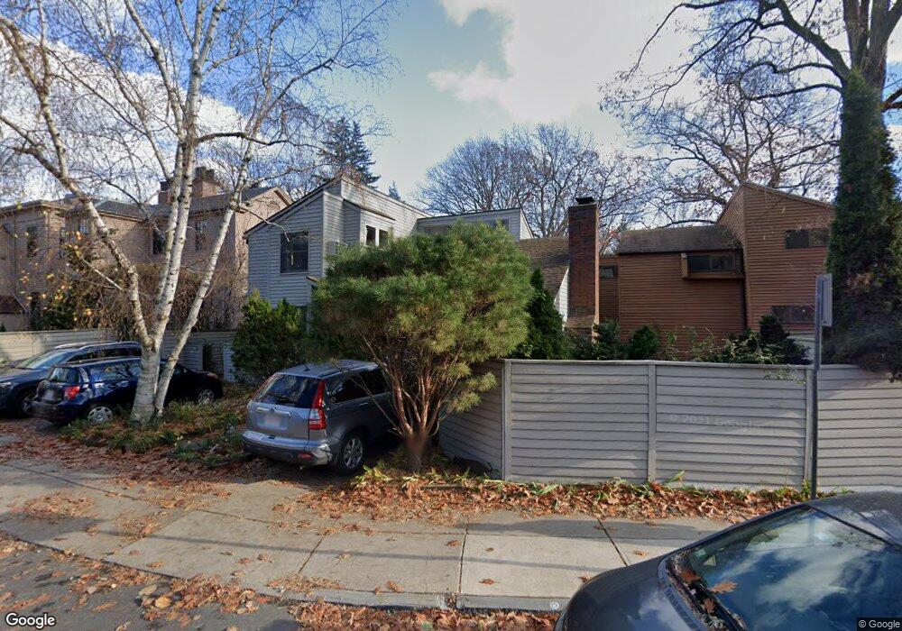
16 Bond St Cambridge, MA 02138
Neighborhood Nine NeighborhoodEstimated Value: $779,000 - $1,704,000
2
Beds
2
Baths
1,366
Sq Ft
$925/Sq Ft
Est. Value
About This Home
This home is located at 16 Bond St, Cambridge, MA 02138 and is currently estimated at $1,264,196, approximately $925 per square foot. 16 Bond St is a home located in Middlesex County with nearby schools including St Peter School, Cambridge Montessori School, and Cambridge Friends School.
Ownership History
Date
Name
Owned For
Owner Type
Purchase Details
Closed on
Jul 21, 2014
Sold by
Khan Arshad A and Mcclennen Persis
Bought by
Mcclennen Persis
Current Estimated Value
Purchase Details
Closed on
Dec 1, 1998
Sold by
Berger Eric J and Oppenheim-Berger Rivka
Bought by
Khan Arshad A
Home Financials for this Owner
Home Financials are based on the most recent Mortgage that was taken out on this home.
Original Mortgage
$275,000
Interest Rate
6.83%
Mortgage Type
Purchase Money Mortgage
Create a Home Valuation Report for This Property
The Home Valuation Report is an in-depth analysis detailing your home's value as well as a comparison with similar homes in the area
Home Values in the Area
Average Home Value in this Area
Purchase History
| Date | Buyer | Sale Price | Title Company |
|---|---|---|---|
| Mcclennen Persis | -- | -- | |
| Khan Arshad A | $445,000 | -- |
Source: Public Records
Mortgage History
| Date | Status | Borrower | Loan Amount |
|---|---|---|---|
| Previous Owner | Khan Arshad A | $275,000 | |
| Previous Owner | Khan Arshad A | $81,000 |
Source: Public Records
Tax History Compared to Growth
Tax History
| Year | Tax Paid | Tax Assessment Tax Assessment Total Assessment is a certain percentage of the fair market value that is determined by local assessors to be the total taxable value of land and additions on the property. | Land | Improvement |
|---|---|---|---|---|
| 2025 | $7,760 | $1,222,000 | $0 | $1,222,000 |
| 2024 | $7,066 | $1,193,600 | $0 | $1,193,600 |
| 2023 | $6,582 | $1,123,200 | $0 | $1,123,200 |
| 2022 | $6,497 | $1,097,400 | $0 | $1,097,400 |
| 2021 | $6,191 | $1,058,300 | $0 | $1,058,300 |
| 2020 | $5,787 | $1,006,400 | $0 | $1,006,400 |
| 2019 | $5,556 | $935,300 | $0 | $935,300 |
| 2018 | $5,412 | $860,400 | $0 | $860,400 |
| 2017 | $5,313 | $818,700 | $0 | $818,700 |
| 2016 | $5,234 | $748,800 | $0 | $748,800 |
| 2015 | $5,195 | $664,300 | $0 | $664,300 |
| 2014 | $5,127 | $611,800 | $0 | $611,800 |
Source: Public Records
Map
Nearby Homes
- 31 Concord Ave Unit 10A
- 29 Concord Ave Unit 606
- 29 Concord Ave Unit 302
- 58 Shepard St
- 84 Garden St
- 22 Concord Ave Unit 10
- 17 Berkeley St
- 14 Concord Ave Unit 104
- 14 Concord Ave Unit 810/814
- 8 Holly Ave Unit 1
- 8 Holly Ave Unit 2
- 69A Walker St Unit A
- 3 Berkeley Place
- 43 Linnaean St Unit 42
- 12 Berkeley St
- 99 Garden St
- 38 Linnaean St Unit 4
- 148 Huron Ave
- 2 Garden Ct Unit 2
- 9 Chauncy St Unit 61
- 18 Bond St
- 8 Bond St
- 10 Bond St
- 12 Bond St
- 14 Bond St
- 46 Bond St
- 4-6 Bond St
- 6 Bond St
- 6 Bond St Unit 1
- 4 Bond St
- 20 Bond St Unit C
- 20 Bond St Unit D
- 20 Bond St
- 58 Garden St Unit H2
- 58 Garden St Unit H1
- 58 Garden St Unit G
- 58 Garden St Unit F
- 58 Garden St Unit A
- 58 Garden St Unit B
- 58 Garden St Unit H2,58