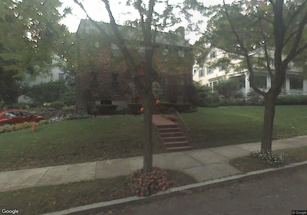
16 Brae Burn Rd Auburndale, MA 02466
Auburndale NeighborhoodEstimated Value: $1,483,539 - $1,633,000
3
Beds
4
Baths
2,388
Sq Ft
$660/Sq Ft
Est. Value
About This Home
This home is located at 16 Brae Burn Rd, Auburndale, MA 02466 and is currently estimated at $1,575,385, approximately $659 per square foot. 16 Brae Burn Rd is a home located in Middlesex County with nearby schools including Peirce Elementary School, Williams Elementary School, and F.A. Day Middle School.
Ownership History
Date
Name
Owned For
Owner Type
Purchase Details
Closed on
Sep 3, 2024
Sold by
Brae Burn Road 16 Rt and Fitzpatrick
Bought by
Fitzpatrick Ft and Fitzpatrick
Current Estimated Value
Purchase Details
Closed on
Dec 20, 2019
Sold by
Fitzpatrick Robert E and Fitzpatrick Alberta L
Bought by
Brae Burn Road 16 Rt
Create a Home Valuation Report for This Property
The Home Valuation Report is an in-depth analysis detailing your home's value as well as a comparison with similar homes in the area
Home Values in the Area
Average Home Value in this Area
Purchase History
| Date | Buyer | Sale Price | Title Company |
|---|---|---|---|
| Fitzpatrick Ft | -- | None Available | |
| Fitzpatrick Ft | -- | None Available | |
| Brae Burn Road 16 Rt | -- | None Available |
Source: Public Records
Tax History Compared to Growth
Tax History
| Year | Tax Paid | Tax Assessment Tax Assessment Total Assessment is a certain percentage of the fair market value that is determined by local assessors to be the total taxable value of land and additions on the property. | Land | Improvement |
|---|---|---|---|---|
| 2025 | $11,293 | $1,152,300 | $889,700 | $262,600 |
| 2024 | $10,919 | $1,118,700 | $863,800 | $254,900 |
| 2023 | $10,386 | $1,020,200 | $655,100 | $365,100 |
| 2022 | $9,937 | $944,600 | $606,600 | $338,000 |
| 2021 | $3,642 | $891,100 | $572,300 | $318,800 |
| 2020 | $3,626 | $891,100 | $572,300 | $318,800 |
| 2019 | $9,040 | $865,100 | $555,600 | $309,500 |
| 2018 | $3,372 | $800,000 | $505,000 | $295,000 |
| 2017 | $8,392 | $754,700 | $476,400 | $278,300 |
| 2016 | $8,026 | $705,300 | $445,200 | $260,100 |
| 2015 | $7,653 | $659,200 | $416,100 | $243,100 |
Source: Public Records
Map
Nearby Homes
- 1639 Washington St
- 17 Gilbert St
- 51 Bourne St
- 13 Weir St
- 283 Woodland Rd
- 0 Duncan Rd Unit 72925240
- 224 Auburn St Unit 224
- 224 Auburn St Unit A
- 226 Auburn St Unit 226
- 1754 Washington St
- 62-64 Rowe St Unit B
- 17 Crescent St
- 10 Crescent St Unit 1
- 10 Crescent St Unit 2
- 1640 Commonwealth Ave
- 17 Lasell St
- 283 Melrose St
- 160 Pine St Unit 12
- 10 Ruane Rd
- 40 Sewall St
- 7 Windermere Rd
- 22 Brae Burn Rd
- 11 Brae Burn Rd
- 41 Windermere Rd
- 33 Windermere Rd
- 4 Windermere Rd
- 19 Brae Burn Rd
- 32 Brae Burn Rd
- 12 Windermere Rd
- 29 Brae Burn Rd
- 5 Brae Burn Rd
- 47 Windermere Rd
- 20 Windermere Rd
- 116 Auburn St
- 38 Brae Burn Rd
- 20 Greenough St Unit 22
- 22 Greenough St Unit 1
- 22 Greenough St
- 106 Auburn St
- 35 Brae Burn Rd