16 Briarcliff Dr Methuen, MA 01844
The East End NeighborhoodEstimated Value: $601,135 - $693,000
3
Beds
3
Baths
1,710
Sq Ft
$372/Sq Ft
Est. Value
About This Home
This home is located at 16 Briarcliff Dr, Methuen, MA 01844 and is currently estimated at $636,284, approximately $372 per square foot. 16 Briarcliff Dr is a home located in Essex County with nearby schools including Methuen High School, Community Day Charter Public School - Gateway, and Esperanza Academy School of Hope.
Ownership History
Date
Name
Owned For
Owner Type
Purchase Details
Closed on
Feb 16, 2005
Sold by
Forlizzi John P and Dixon Lynn C
Bought by
Forlizzi John P and Forlizzi Lynn C
Current Estimated Value
Purchase Details
Closed on
Sep 7, 1988
Sold by
Mele Mary Ann
Bought by
Forlizzi John P
Purchase Details
Closed on
Jun 26, 1987
Sold by
Ferndale Rt
Bought by
Mele Mary Ann
Create a Home Valuation Report for This Property
The Home Valuation Report is an in-depth analysis detailing your home's value as well as a comparison with similar homes in the area
Home Values in the Area
Average Home Value in this Area
Purchase History
| Date | Buyer | Sale Price | Title Company |
|---|---|---|---|
| Forlizzi John P | -- | -- | |
| Forlizzi John P | -- | -- | |
| Forlizzi John P | -- | -- | |
| Forlizzi John P | $190,500 | -- | |
| Mele Mary Ann | $189,900 | -- |
Source: Public Records
Mortgage History
| Date | Status | Borrower | Loan Amount |
|---|---|---|---|
| Open | Mele Mary Ann | $258,500 | |
| Closed | Mele Mary Ann | $266,788 |
Source: Public Records
Tax History
| Year | Tax Paid | Tax Assessment Tax Assessment Total Assessment is a certain percentage of the fair market value that is determined by local assessors to be the total taxable value of land and additions on the property. | Land | Improvement |
|---|---|---|---|---|
| 2025 | $5,590 | $528,400 | $207,200 | $321,200 |
| 2024 | $5,517 | $508,000 | $182,000 | $326,000 |
| 2023 | $5,260 | $449,600 | $161,000 | $288,600 |
| 2022 | $5,067 | $388,300 | $140,000 | $248,300 |
| 2021 | $4,775 | $362,000 | $133,000 | $229,000 |
| 2020 | $4,735 | $352,300 | $133,000 | $219,300 |
| 2019 | $4,674 | $329,400 | $126,000 | $203,400 |
| 2018 | $4,458 | $312,400 | $119,000 | $193,400 |
| 2017 | $4,331 | $295,600 | $119,000 | $176,600 |
| 2016 | $4,329 | $292,300 | $119,000 | $173,300 |
| 2015 | $4,068 | $278,600 | $112,000 | $166,600 |
Source: Public Records
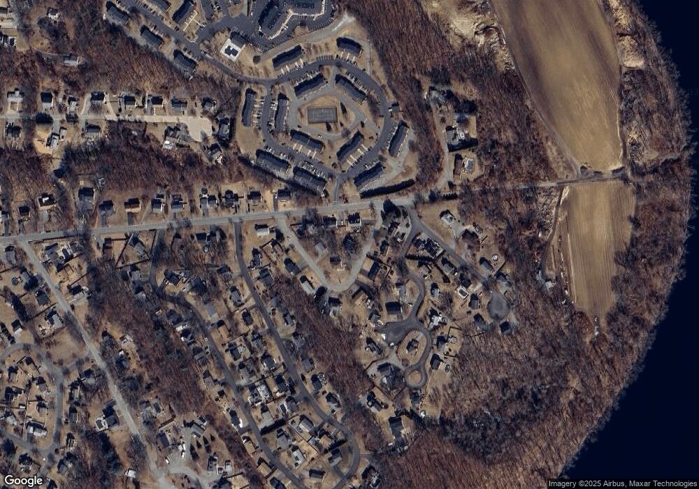
Map
Nearby Homes
- 16 Christopher Dr Unit 38
- 45 Christopher Dr Unit 106
- 17 Ferry Rd
- 6 Ferry Rd
- 29 Bradstreet Ave
- 10 Fenwick Cir
- 27 Russell Farm Dr
- 51 Ford St Unit A
- 5 Pilgrim Cir Unit C
- 183 Farrwood Dr
- 403 Farrwood Dr
- 414 Farrwood Dr Unit 414
- 30 Anderson Dr
- 524 Merrimack St
- 128 Pleasant Valley St
- 260 Willow Ave
- 201 Aberdeen Rd
- 396 Oak St
- 41 Brookdale Ave
- 1 Riverview Blvd Unit 8-203
- 157 Pitman St
- 153 Pitman St
- 10 Briarcliff Dr
- 4 Briarcliff Dr
- 17 Briarcliff Dr
- 15 Briarcliff Dr
- 149 Pitman St
- 19 Briarcliff Dr
- 11 Briarcliff Dr
- 7 Briarcliff Dr
- 5 Briarcliff Dr
- 3 Carrie Ave
- 3 Briarcliff Dr
- 7 Carrie Ave
- 1 Columbus Ave
- 9 Briarcliff Dr
- 10 Carrie Ave
- 148 Pitman St
- 0 Columbus Ave
- 11 Carrie Ave
Your Personal Tour Guide
Ask me questions while you tour the home.