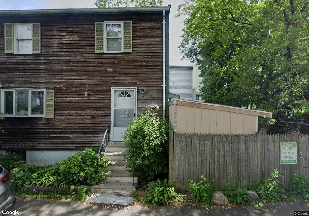
16 Brook St Lynn, MA 01902
Eastern Avenue NeighborhoodEstimated Value: $460,000 - $552,000
3
Beds
2
Baths
1,248
Sq Ft
$409/Sq Ft
Est. Value
About This Home
This home is located at 16 Brook St, Lynn, MA 01902 and is currently estimated at $510,606, approximately $409 per square foot. 16 Brook St is a home located in Essex County with nearby schools including Ingalls Elementary School, William R. Fallon School, and Marshall Middle School.
Ownership History
Date
Name
Owned For
Owner Type
Purchase Details
Closed on
Mar 9, 2010
Sold by
Perez Tito and Perez Wendy
Bought by
Hogan John F and Tan Dorothy Jane
Current Estimated Value
Home Financials for this Owner
Home Financials are based on the most recent Mortgage that was taken out on this home.
Original Mortgage
$160,047
Interest Rate
5.37%
Mortgage Type
FHA
Purchase Details
Closed on
May 27, 2005
Sold by
Mucci Karen M
Bought by
Perez Tito
Create a Home Valuation Report for This Property
The Home Valuation Report is an in-depth analysis detailing your home's value as well as a comparison with similar homes in the area
Home Values in the Area
Average Home Value in this Area
Purchase History
| Date | Buyer | Sale Price | Title Company |
|---|---|---|---|
| Hogan John F | $163,000 | -- | |
| Hogan John F | $163,000 | -- | |
| Perez Tito | $273,500 | -- | |
| Perez Tito | $273,500 | -- |
Source: Public Records
Mortgage History
| Date | Status | Borrower | Loan Amount |
|---|---|---|---|
| Open | Perez Tito | $158,500 | |
| Closed | Perez Tito | $160,047 | |
| Closed | Perez Tito | $6,969 |
Source: Public Records
Tax History
| Year | Tax Paid | Tax Assessment Tax Assessment Total Assessment is a certain percentage of the fair market value that is determined by local assessors to be the total taxable value of land and additions on the property. | Land | Improvement |
|---|---|---|---|---|
| 2025 | $5,156 | $497,700 | $168,900 | $328,800 |
| 2024 | $5,007 | $475,500 | $160,500 | $315,000 |
| 2023 | $4,699 | $421,400 | $146,200 | $275,200 |
| 2022 | $4,725 | $380,100 | $125,100 | $255,000 |
| 2021 | $4,452 | $341,700 | $118,300 | $223,400 |
| 2020 | $4,338 | $323,700 | $109,900 | $213,800 |
| 2019 | $4,197 | $293,500 | $94,800 | $198,700 |
| 2018 | $3,950 | $260,700 | $87,600 | $173,100 |
| 2017 | $3,861 | $247,500 | $82,100 | $165,400 |
| 2016 | $3,658 | $226,100 | $70,500 | $155,600 |
| 2015 | $3,484 | $208,000 | $66,900 | $141,100 |
Source: Public Records
Map
Nearby Homes
- 53 Groveland St
- 106 Williams Ave
- 129 Williams Ave
- 7 Sidney Ave
- 162 Chatham St
- 238 Essex St
- 11 Seymour Ave Unit 3
- 97 Seymour Ave
- 82 Fayette St
- 10-16 Stephen St Unit 5
- 30 Clifton Ave
- 122-126 Marianna St
- 12 Howard St
- 80 Collins St
- 8 Lafayette Park Unit 7
- 37 Howard St
- 17 Marianna St
- 4 Valley Rd Unit 4
- 11 Boynton St Unit 104
- 11 Boynton St Unit 101
- 48 Groveland St
- 101 Brookline St
- 20 Brook St
- 44 Groveland St
- 15 Brook St
- 47 Groveland St
- 97 Brookline St
- 107 Brookline St
- 43 Groveland St
- 11 Brook St
- 9 Brook St
- 100 Timson St Unit 102
- 100 Timson St
- 111 Brookline St
- 111 Brookline St Unit 3
- 111 Brookline St Unit 2
- 96 Timson St
- 100-102 Timson St
- 100-102 Timson St Unit 3
- 92 Brookline St
Your Personal Tour Guide
Ask me questions while you tour the home.