16 Burritts Landing S Westport, CT 06880
Saugatuck NeighborhoodEstimated Value: $4,479,000 - $5,084,712
8
Beds
11
Baths
10,556
Sq Ft
$464/Sq Ft
Est. Value
About This Home
This home is located at 16 Burritts Landing S, Westport, CT 06880 and is currently estimated at $4,902,428, approximately $464 per square foot. 16 Burritts Landing S is a home located in Fairfield County with nearby schools including King's Highway Elementary School, Coleytown Middle School, and Staples High School.
Ownership History
Date
Name
Owned For
Owner Type
Purchase Details
Closed on
Mar 7, 2025
Sold by
Dean Christopher E and Dean Carline P
Bought by
Landing Llc
Current Estimated Value
Purchase Details
Closed on
Jun 15, 2021
Sold by
Saugatuck Cap Mgmt Llc
Bought by
Christopher Dean Lt
Purchase Details
Closed on
Nov 7, 2002
Sold by
Bayliss Eugene R and Bayliss Madeline D
Bought by
Dean Christopher E and Dean Carline P
Home Financials for this Owner
Home Financials are based on the most recent Mortgage that was taken out on this home.
Original Mortgage
$1,450,000
Interest Rate
6.04%
Create a Home Valuation Report for This Property
The Home Valuation Report is an in-depth analysis detailing your home's value as well as a comparison with similar homes in the area
Home Values in the Area
Average Home Value in this Area
Purchase History
| Date | Buyer | Sale Price | Title Company |
|---|---|---|---|
| Landing Llc | $4,762,800 | None Available | |
| Landing Llc | $4,762,800 | None Available | |
| Christopher Dean Lt | -- | None Available | |
| Christopher Dean Lt | -- | None Available | |
| Dean Christopher E | $2,100,000 | -- | |
| Dean Christopher E | $2,100,000 | -- |
Source: Public Records
Mortgage History
| Date | Status | Borrower | Loan Amount |
|---|---|---|---|
| Previous Owner | Dean Christopher E | $1,450,000 | |
| Previous Owner | Dean Christopher E | $475,000 | |
| Previous Owner | Dean Christopher E | $300,000 |
Source: Public Records
Tax History Compared to Growth
Tax History
| Year | Tax Paid | Tax Assessment Tax Assessment Total Assessment is a certain percentage of the fair market value that is determined by local assessors to be the total taxable value of land and additions on the property. | Land | Improvement |
|---|---|---|---|---|
| 2025 | $49,698 | $2,635,100 | $952,400 | $1,682,700 |
| 2024 | $49,066 | $2,635,100 | $952,400 | $1,682,700 |
| 2023 | $48,354 | $2,635,100 | $952,400 | $1,682,700 |
| 2022 | $46,783 | $2,589,000 | $952,400 | $1,636,600 |
| 2021 | $46,783 | $2,589,000 | $952,400 | $1,636,600 |
| 2020 | $47,662 | $2,852,300 | $985,700 | $1,866,600 |
| 2019 | $48,090 | $2,852,300 | $985,700 | $1,866,600 |
| 2018 | $48,090 | $2,852,300 | $985,700 | $1,866,600 |
| 2017 | $48,090 | $2,852,300 | $985,700 | $1,866,600 |
| 2016 | $48,090 | $2,852,300 | $985,700 | $1,866,600 |
| 2015 | $51,406 | $2,841,700 | $863,300 | $1,978,400 |
| 2014 | $50,980 | $2,841,700 | $863,300 | $1,978,400 |
Source: Public Records
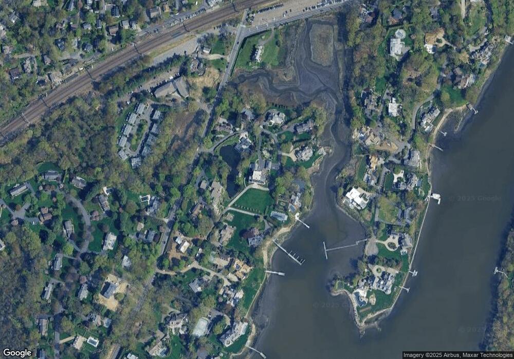
Map
Nearby Homes
- 6 Stony Point Rd
- 11 Manitou Ct
- 202 Bradley Ln Unit 202
- 110 William St
- 26 Treadwell Ave
- 14 Strathmore Ln
- 44 King St
- 17 Oriole Dr
- 7 Renzulli Rd
- 23 Bridge St
- 3 Nassau Rd
- 42 Kings Hwy S
- 80 County St Unit 9K
- 80 County St Unit 3A
- 80 County St Unit 2Q
- 80 County St Unit 11K
- 13 Hills Ln
- 5 Minard Dr
- 5 Franklin Ave
- 14 Owenoke Park
- 4 Burritts Landing N
- 2 Burritts Landing N
- 11 Burritts Landing N
- 5 Burritts Landing N
- 18 Burritts Landing S
- 18 Burritts Landing S
- 17 Burritts Landing S
- 20 Burritts Landing S
- 1 Burritts Landing N
- 9 Burritts Landing N
- 7 Burritts Landing N
- 21 Burritts Landing S
- 12 Stoney Point Rd
- 240 Saugatuck Ave
- 14 Stoney Point Rd
- 10 Stoney Point Rd
- 10 Stony Point Rd
- 23 Burritts Landing S
- 230 Saugatuck Ave Unit 20
- 230 Saugatuck Ave Unit 19