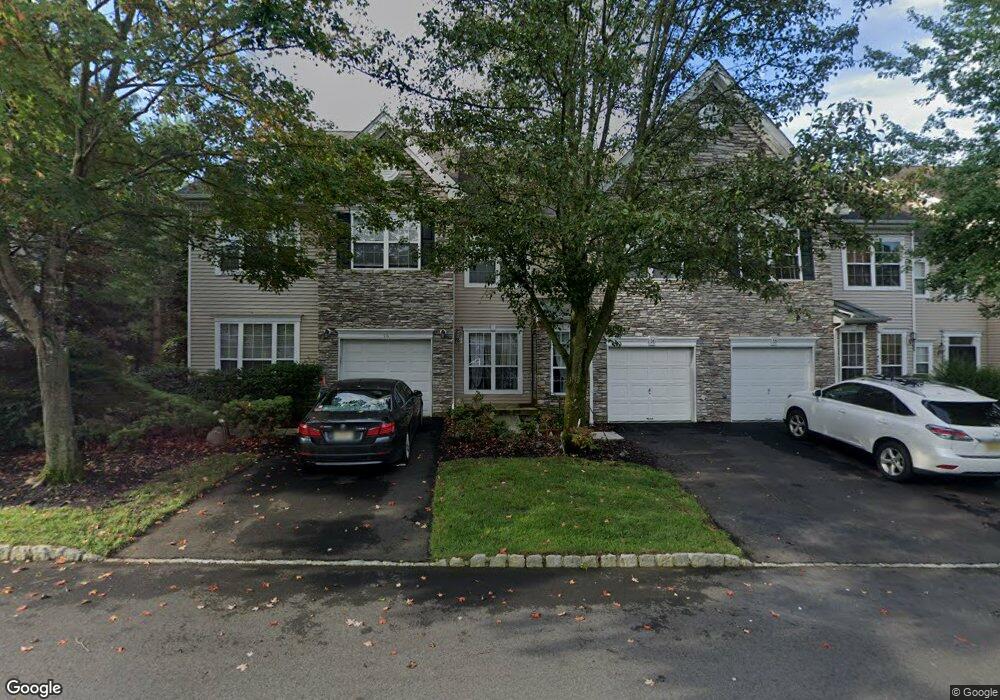
16 Cannon Ct Unit B1 Basking Ridge, NJ 07920
Estimated Value: $782,000 - $820,000
--
Bed
--
Bath
1,928
Sq Ft
$415/Sq Ft
Est. Value
About This Home
This home is located at 16 Cannon Ct Unit B1, Basking Ridge, NJ 07920 and is currently estimated at $799,453, approximately $414 per square foot. 16 Cannon Ct Unit B1 is a home located in Somerset County with nearby schools including Mount Prospect Elementary School, William Annin Middle School, and Ridge High School.
Ownership History
Date
Name
Owned For
Owner Type
Purchase Details
Closed on
Dec 3, 2009
Sold by
Kleiza Teresa L
Bought by
Mounir Emad
Current Estimated Value
Home Financials for this Owner
Home Financials are based on the most recent Mortgage that was taken out on this home.
Original Mortgage
$400,000
Outstanding Balance
$262,505
Interest Rate
5.02%
Mortgage Type
New Conventional
Estimated Equity
$536,948
Purchase Details
Closed on
Mar 24, 2004
Sold by
Conway William T
Bought by
Kleiza Teresa L
Purchase Details
Closed on
Feb 23, 2000
Sold by
Hovnanian K
Bought by
Conway William
Home Financials for this Owner
Home Financials are based on the most recent Mortgage that was taken out on this home.
Original Mortgage
$255,000
Interest Rate
8.15%
Create a Home Valuation Report for This Property
The Home Valuation Report is an in-depth analysis detailing your home's value as well as a comparison with similar homes in the area
Home Values in the Area
Average Home Value in this Area
Purchase History
| Date | Buyer | Sale Price | Title Company |
|---|---|---|---|
| Mounir Emad | $515,000 | None Available | |
| Kleiza Teresa L | $505,000 | -- | |
| Conway William | $327,469 | -- |
Source: Public Records
Mortgage History
| Date | Status | Borrower | Loan Amount |
|---|---|---|---|
| Open | Mounir Emad | $400,000 | |
| Previous Owner | Conway William | $255,000 |
Source: Public Records
Tax History Compared to Growth
Tax History
| Year | Tax Paid | Tax Assessment Tax Assessment Total Assessment is a certain percentage of the fair market value that is determined by local assessors to be the total taxable value of land and additions on the property. | Land | Improvement |
|---|---|---|---|---|
| 2025 | $11,766 | $702,800 | $170,000 | $532,800 |
| 2024 | $11,766 | $661,400 | $170,000 | $491,400 |
| 2023 | $12,099 | $641,500 | $170,000 | $471,500 |
| 2022 | $11,437 | $568,700 | $170,000 | $398,700 |
| 2021 | $11,223 | $531,900 | $170,000 | $361,900 |
| 2020 | $11,073 | $528,800 | $170,000 | $358,800 |
| 2019 | $10,839 | $532,900 | $170,000 | $362,900 |
| 2018 | $10,685 | $532,900 | $170,000 | $362,900 |
| 2017 | $10,695 | $537,700 | $170,000 | $367,700 |
| 2016 | $10,992 | $563,400 | $170,000 | $393,400 |
| 2015 | $10,636 | $555,100 | $170,000 | $385,100 |
| 2014 | $10,399 | $537,700 | $170,000 | $367,700 |
Source: Public Records
Map
Nearby Homes