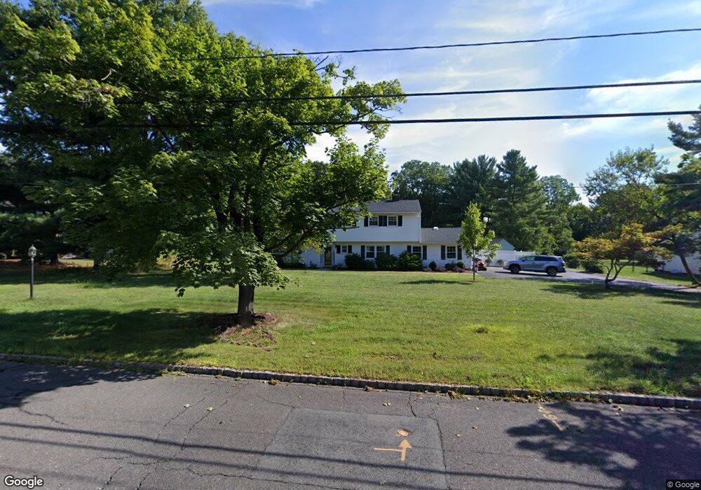
16 Canter Dr Basking Ridge, NJ 07920
Estimated Value: $1,018,143 - $1,060,000
Studio
--
Bath
2,193
Sq Ft
$473/Sq Ft
Est. Value
About This Home
This home is located at 16 Canter Dr, Basking Ridge, NJ 07920 and is currently estimated at $1,036,536, approximately $472 per square foot. 16 Canter Dr is a home located in Somerset County with nearby schools including Oak Street Elementary School, William Annin Middle School, and Ridge High School.
Ownership History
Date
Name
Owned For
Owner Type
Purchase Details
Closed on
Dec 21, 2009
Sold by
Schulz Robert G
Bought by
Huang Yizhong and Wang Wenxian
Current Estimated Value
Home Financials for this Owner
Home Financials are based on the most recent Mortgage that was taken out on this home.
Original Mortgage
$417,000
Outstanding Balance
$271,292
Interest Rate
4.85%
Mortgage Type
New Conventional
Estimated Equity
$765,244
Create a Home Valuation Report for This Property
The Home Valuation Report is an in-depth analysis detailing your home's value as well as a comparison with similar homes in the area
Home Values in the Area
Average Home Value in this Area
Purchase History
| Date | Buyer | Sale Price | Title Company |
|---|---|---|---|
| Huang Yizhong | $577,000 | Multiple |
Source: Public Records
Mortgage History
| Date | Status | Borrower | Loan Amount |
|---|---|---|---|
| Open | Huang Yizhong | $417,000 |
Source: Public Records
Tax History
| Year | Tax Paid | Tax Assessment Tax Assessment Total Assessment is a certain percentage of the fair market value that is determined by local assessors to be the total taxable value of land and additions on the property. | Land | Improvement |
|---|---|---|---|---|
| 2025 | $13,560 | $862,800 | $398,600 | $464,200 |
| 2024 | $13,560 | $762,200 | $368,600 | $393,600 |
| 2023 | $13,475 | $714,500 | $368,600 | $345,900 |
| 2022 | $13,033 | $648,100 | $368,600 | $279,500 |
| 2021 | $12,419 | $588,600 | $348,600 | $240,000 |
| 2020 | $12,350 | $589,800 | $352,200 | $237,600 |
| 2019 | $12,505 | $614,800 | $352,200 | $262,600 |
| 2018 | $12,126 | $604,800 | $342,200 | $262,600 |
| 2017 | $11,864 | $596,500 | $342,200 | $254,300 |
| 2016 | $11,899 | $609,900 | $352,200 | $257,700 |
| 2015 | $11,561 | $603,400 | $352,200 | $251,200 |
| 2014 | $11,403 | $589,600 | $352,200 | $237,400 |
Source: Public Records
Map
Nearby Homes
- 12 Wayne Terrace
- 61 Queen Anne Dr
- 24 Wharton Way
- 105 Annin Rd
- 24 Chelsea Ct
- 59 Manor Dr
- 36 Debra Ln
- 48 Wisteria Way
- 115 Berkeley Cir
- 7 Valley View Dr
- 28 Lafayette Ln
- 173 W Oak St
- 23 Charlotte Hill Dr
- 365 Mine Brook Rd
- 213 Liberty Corner Rd
- 40 Rankin Ave
- 15 Columbia Dr
- 275 Crabtree Ct
- 14 Bradford Ln
- 26 Woodward Ln
- 10 Canter Dr
- 22 Canter Dr
- 29 Galloping Hill Rd
- 15 Canter Dr
- 35 Galloping Hill Rd
- 8 Canter Dr
- 28 Canter Dr
- 21 Canter Dr
- 23 Galloping Hill Rd
- 350 Mount Airy Rd
- 3 Post Terrace
- 41 Galloping Hill Rd
- 342 Mount Airy Rd
- 356 Mount Airy Rd
- 34 Canter Dr
- 38 Galloping Hill Rd
- 15 Galloping Hill Rd
- 360 Mount Airy Rd
- 8 Post Terrace
- 24 Galloping Hill Rd
Your Personal Tour Guide
Ask me questions while you tour the home.