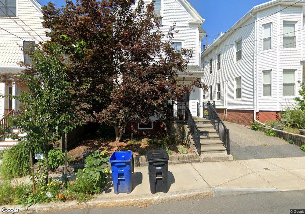
16 Cedar St Unit 1 Somerville, MA 02143
Porter Square NeighborhoodEstimated Value: $595,000 - $683,000
1
Bed
1
Bath
776
Sq Ft
$797/Sq Ft
Est. Value
About This Home
This home is located at 16 Cedar St Unit 1, Somerville, MA 02143 and is currently estimated at $618,657, approximately $797 per square foot. 16 Cedar St Unit 1 is a home located in Middlesex County with nearby schools including Somerville High School, Saint Theresa School, and St. Clement Elementary School.
Ownership History
Date
Name
Owned For
Owner Type
Purchase Details
Closed on
Mar 30, 2005
Sold by
Longo Gina M
Bought by
Lawrence Jane E and Lawrence William D
Current Estimated Value
Home Financials for this Owner
Home Financials are based on the most recent Mortgage that was taken out on this home.
Original Mortgage
$278,000
Outstanding Balance
$141,873
Interest Rate
5.61%
Mortgage Type
Purchase Money Mortgage
Estimated Equity
$476,784
Purchase Details
Closed on
Jun 30, 2003
Sold by
Andrews Christopher Gt
Bought by
Longo Gina M and Merryman John A
Home Financials for this Owner
Home Financials are based on the most recent Mortgage that was taken out on this home.
Original Mortgage
$364,800
Interest Rate
5.53%
Mortgage Type
Purchase Money Mortgage
Create a Home Valuation Report for This Property
The Home Valuation Report is an in-depth analysis detailing your home's value as well as a comparison with similar homes in the area
Home Values in the Area
Average Home Value in this Area
Purchase History
| Date | Buyer | Sale Price | Title Company |
|---|---|---|---|
| Lawrence Jane E | $347,500 | -- | |
| Longo Gina M | $302,500 | -- |
Source: Public Records
Mortgage History
| Date | Status | Borrower | Loan Amount |
|---|---|---|---|
| Open | Lawrence Jane E | $278,000 | |
| Previous Owner | Longo Gina M | $364,800 |
Source: Public Records
Tax History
| Year | Tax Paid | Tax Assessment Tax Assessment Total Assessment is a certain percentage of the fair market value that is determined by local assessors to be the total taxable value of land and additions on the property. | Land | Improvement |
|---|---|---|---|---|
| 2025 | $5,607 | $513,900 | $0 | $513,900 |
| 2024 | $5,298 | $503,600 | $0 | $503,600 |
| 2023 | $5,139 | $497,000 | $0 | $497,000 |
| 2022 | $4,869 | $478,300 | $0 | $478,300 |
| 2021 | $4,769 | $468,000 | $0 | $468,000 |
| 2020 | $4,570 | $452,900 | $0 | $452,900 |
| 2019 | $4,723 | $438,900 | $0 | $438,900 |
| 2018 | $4,976 | $440,000 | $0 | $440,000 |
| 2017 | $4,725 | $404,900 | $0 | $404,900 |
| 2016 | $4,700 | $375,100 | $0 | $375,100 |
| 2015 | $3,786 | $300,200 | $0 | $300,200 |
Source: Public Records
Map
Nearby Homes
- 20 Mossland St
- 32-40 White St
- 83 Cedar St Unit 1
- 49 Cherry St Unit 1
- 8 Craigie St
- 18 Upland Rd Unit 1
- 35 Ibbetson St
- 3 Arlington St Unit 44
- 10 Beech St Unit 4
- 10 Beech St Unit 1
- 10 Beech St Unit 3
- 334 Beacon St Unit B
- 1800 Massachusetts Ave Unit 23
- 315 Highland Ave Unit 101
- 309 Beacon St
- 42 Belmont St
- 7 Beech St Unit 319
- 7 Beech St Unit 317
- 148 Lowell St Unit 3
- 46 Mount Vernon St Unit 1
Your Personal Tour Guide
Ask me questions while you tour the home.