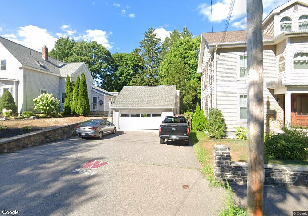
16 Charles St Westborough, MA 01581
Estimated Value: $656,000 - $1,108,257
6
Beds
3
Baths
2,439
Sq Ft
$353/Sq Ft
Est. Value
About This Home
This home is located at 16 Charles St, Westborough, MA 01581 and is currently estimated at $860,814, approximately $352 per square foot. 16 Charles St is a home located in Worcester County with nearby schools including Westborough High School, Ebridge Montessori School, and Westboro Knowledge Beginnings.
Ownership History
Date
Name
Owned For
Owner Type
Purchase Details
Closed on
Aug 27, 2018
Sold by
Gerrity Jonathan S and Gerrity Karen
Bought by
Gerrity Jonathan S
Current Estimated Value
Purchase Details
Closed on
Nov 10, 1997
Sold by
Bush H Charles
Bought by
Gerrity Jonathan S and Gerrity Karen
Purchase Details
Closed on
Jun 20, 1988
Sold by
Mandella Edw H
Bought by
Bush H Charles
Create a Home Valuation Report for This Property
The Home Valuation Report is an in-depth analysis detailing your home's value as well as a comparison with similar homes in the area
Home Values in the Area
Average Home Value in this Area
Purchase History
| Date | Buyer | Sale Price | Title Company |
|---|---|---|---|
| Gerrity Jonathan S | -- | -- | |
| Gerrity Jonathan S | $202,000 | -- | |
| Bush H Charles | $245,200 | -- |
Source: Public Records
Mortgage History
| Date | Status | Borrower | Loan Amount |
|---|---|---|---|
| Previous Owner | Bush H Charles | $375,164 | |
| Previous Owner | Bush H Charles | $232,000 | |
| Previous Owner | Bush H Charles | $232,000 |
Source: Public Records
Tax History
| Year | Tax Paid | Tax Assessment Tax Assessment Total Assessment is a certain percentage of the fair market value that is determined by local assessors to be the total taxable value of land and additions on the property. | Land | Improvement |
|---|---|---|---|---|
| 2025 | $13,216 | $811,300 | $302,300 | $509,000 |
| 2024 | $11,008 | $670,800 | $281,100 | $389,700 |
| 2023 | $10,224 | $607,100 | $262,900 | $344,200 |
| 2022 | $9,606 | $519,500 | $211,100 | $308,400 |
| 2021 | $9,233 | $498,000 | $208,800 | $289,200 |
| 2020 | $9,111 | $497,300 | $197,200 | $300,100 |
| 2019 | $8,707 | $475,000 | $189,400 | $285,600 |
| 2018 | $7,977 | $432,100 | $174,000 | $258,100 |
| 2017 | $6,855 | $385,100 | $174,000 | $211,100 |
| 2016 | $7,238 | $407,300 | $174,000 | $233,300 |
| 2015 | $7,116 | $382,800 | $174,000 | $208,800 |
Source: Public Records
Map
Nearby Homes
- 70 South St
- 44 South St
- 11 Cedar St
- 4 W End Ave
- 64 Milk St
- 6 Folly Ln
- 23 Water St
- 26 Mount Pleasant St
- 7 Mayberry Dr Unit H
- 53 Robin Rd
- 6 Piccadilly Way
- 192 W Main St
- 5 Wessonville Village Way Unit 5
- 9 Shaker Way
- 25 Lyman St
- 147 Milk St Unit 18
- 155 Milk St Unit 27
- 196 -198 Turnpike Rd
- 165 Turnpike Rd Unit 7
- 7 Grindstone Ct
- 14 Charles St
- 18 Charles St Unit 20
- 15 Ruggles St
- 15 Ruggles St Unit 15
- 15 Ruggles St
- 17 Ruggles St
- 13 Ruggles St
- 36 Cross St
- 34 Cross St
- 32 Cross St
- 17 Charles St
- 21 Charles St
- 21 Charles St
- 19 Ruggles St
- 19 Ruggles St Unit 2
- 15 Charles St
- 22 Charles St
- 11 Ruggles St
- 11 Ruggles St Unit B
- 11 Ruggles St Unit A
Your Personal Tour Guide
Ask me questions while you tour the home.