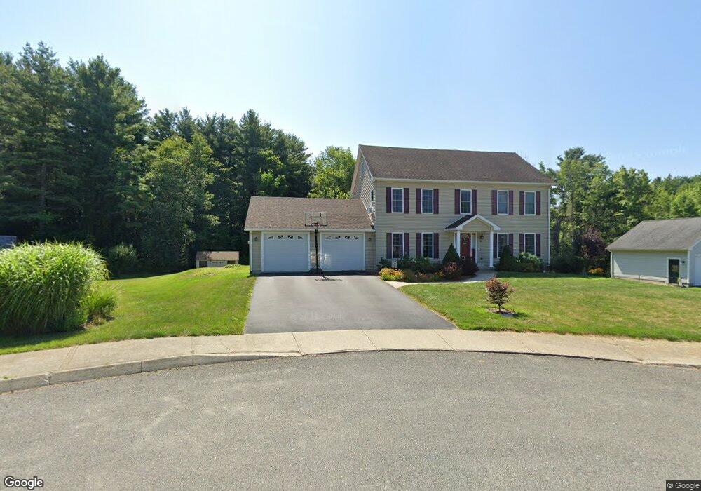
16 County Ct Pittsfield, MA 01201
Estimated Value: $374,000 - $572,000
3
Beds
3
Baths
2,352
Sq Ft
$207/Sq Ft
Est. Value
About This Home
This home is located at 16 County Ct, Pittsfield, MA 01201 and is currently estimated at $486,585, approximately $206 per square foot. 16 County Ct is a home with nearby schools including Stearns Elementary School, John T. Reid Middle School, and Taconic High School.
Ownership History
Date
Name
Owned For
Owner Type
Purchase Details
Closed on
Jul 15, 2009
Sold by
Dasilva Dominick B
Bought by
Lancto David W and Lancto Karen L
Current Estimated Value
Home Financials for this Owner
Home Financials are based on the most recent Mortgage that was taken out on this home.
Original Mortgage
$263,200
Interest Rate
5.31%
Mortgage Type
Purchase Money Mortgage
Create a Home Valuation Report for This Property
The Home Valuation Report is an in-depth analysis detailing your home's value as well as a comparison with similar homes in the area
Home Values in the Area
Average Home Value in this Area
Purchase History
| Date | Buyer | Sale Price | Title Company |
|---|---|---|---|
| Lancto David W | $70,000 | -- | |
| Lancto David W | $70,000 | -- | |
| Lancto David W | $70,000 | -- |
Source: Public Records
Mortgage History
| Date | Status | Borrower | Loan Amount |
|---|---|---|---|
| Open | Lancto David W | $265,600 | |
| Closed | Lancto David W | $263,200 |
Source: Public Records
Tax History
| Year | Tax Paid | Tax Assessment Tax Assessment Total Assessment is a certain percentage of the fair market value that is determined by local assessors to be the total taxable value of land and additions on the property. | Land | Improvement |
|---|---|---|---|---|
| 2025 | $7,856 | $437,900 | $93,700 | $344,200 |
| 2024 | $7,732 | $419,100 | $93,700 | $325,400 |
| 2023 | $7,200 | $393,000 | $93,700 | $299,300 |
| 2022 | $6,110 | $329,200 | $68,700 | $260,500 |
| 2021 | $6,289 | $326,700 | $68,700 | $258,000 |
| 2020 | $6,262 | $317,700 | $68,700 | $249,000 |
| 2019 | $5,970 | $307,400 | $68,700 | $238,700 |
| 2018 | $5,973 | $298,500 | $68,700 | $229,800 |
| 2017 | $5,691 | $289,900 | $68,700 | $221,200 |
| 2016 | $5,504 | $293,400 | $68,700 | $224,700 |
| 2015 | $5,299 | $293,400 | $68,700 | $224,700 |
Source: Public Records
Map
Nearby Homes
- 1 Clarkson Ave
- 42 Bryant St
- 103 Stearns Ave
- 90 Jones Ave
- 0 Jones Ave
- 728 W Housatonic St
- 497 Gale Ave
- 499 Gale Ave
- 551 Tamarack Rd
- 158 Eleanor Rd
- 208 Jason St
- 2 Amy Ct
- 2 Amy Ct Unit 2
- 25 Alpine Trail Unit 6-A
- 33 Alpine Trail
- 145 Velma Ave
- Lot 25 Old Farm Ln
- Lot #26 Old Farm Ln
- Lot 24 Old Farm Ln
- Lot 42 Old Farm Ln
Your Personal Tour Guide
Ask me questions while you tour the home.