16 Cromwell Rd Westport Island, ME 04578
Estimated Value: $238,639 - $591,000
3
Beds
1
Bath
2,354
Sq Ft
$185/Sq Ft
Est. Value
About This Home
This home is located at 16 Cromwell Rd, Westport Island, ME 04578 and is currently estimated at $435,910, approximately $185 per square foot. 16 Cromwell Rd is a home located in Lincoln County.
Ownership History
Date
Name
Owned For
Owner Type
Purchase Details
Closed on
Jul 11, 2005
Sold by
Hagenbuch Richard P and Hagenbuch Joan B
Bought by
Small Matthew A and Small Shawna T
Current Estimated Value
Home Financials for this Owner
Home Financials are based on the most recent Mortgage that was taken out on this home.
Original Mortgage
$100,000
Outstanding Balance
$55,964
Interest Rate
7%
Mortgage Type
Adjustable Rate Mortgage/ARM
Estimated Equity
$379,946
Create a Home Valuation Report for This Property
The Home Valuation Report is an in-depth analysis detailing your home's value as well as a comparison with similar homes in the area
Home Values in the Area
Average Home Value in this Area
Purchase History
| Date | Buyer | Sale Price | Title Company |
|---|---|---|---|
| Small Matthew A | -- | -- | |
| Small Matthew A | -- | -- | |
| Small Matthew A | -- | -- |
Source: Public Records
Mortgage History
| Date | Status | Borrower | Loan Amount |
|---|---|---|---|
| Open | Small Matthew A | $100,000 | |
| Closed | Small Matthew A | $100,000 |
Source: Public Records
Tax History Compared to Growth
Tax History
| Year | Tax Paid | Tax Assessment Tax Assessment Total Assessment is a certain percentage of the fair market value that is determined by local assessors to be the total taxable value of land and additions on the property. | Land | Improvement |
|---|---|---|---|---|
| 2025 | $1,034 | $121,684 | $54,838 | $66,846 |
| 2024 | $900 | $121,684 | $54,838 | $66,846 |
| 2023 | $768 | $117,292 | $54,838 | $62,454 |
| 2022 | $798 | $96,141 | $44,949 | $51,192 |
| 2021 | $760 | $96,141 | $44,949 | $51,192 |
| 2020 | $779 | $96,141 | $44,949 | $51,192 |
| 2019 | $718 | $96,141 | $44,949 | $51,192 |
| 2018 | $635 | $96,141 | $44,949 | $51,192 |
| 2016 | $692 | $96,141 | $44,949 | $51,192 |
| 2014 | $695 | $92,555 | $0 | $0 |
| 2013 | $717 | $92,555 | $62,960 | $29,595 |
Source: Public Records
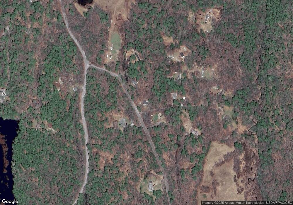
Map
Nearby Homes
- M4 L12.30B McCarty Cove Rd
- 124 Main Rd
- 0 Maine 144
- 44-4 Windrush Ln
- 119 Knubble Bay Rd
- 91 Tree Farm Dr
- 23 Sunny Acres Ln
- 576 Back River Rd
- 92 Brooks Cove Rd
- 44 Stone Point Ln
- 19 Riverside Ave
- 712 Back River Rd
- 284 Hockomock Rd
- 13 Porcupine Ln
- Lot 45-B Cove Rd
- 32 Murray Hill Rd
- 437 Barley Neck Rd
- 15 Lewis Dr
- 68 Narrows Way
- 693 Wiscasset Rd