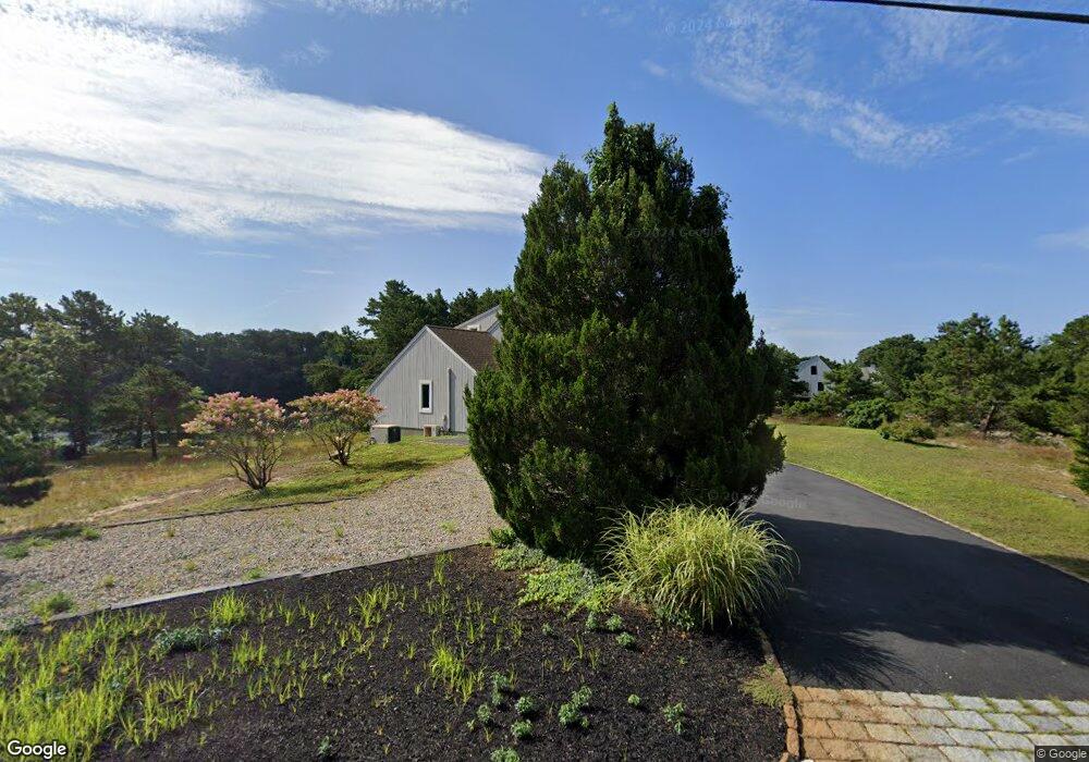
16 Crowells Bog Rd Brewster, MA 02631
Estimated Value: $948,000 - $1,732,000
2
Beds
2
Baths
1,589
Sq Ft
$890/Sq Ft
Est. Value
About This Home
This home is located at 16 Crowells Bog Rd, Brewster, MA 02631 and is currently estimated at $1,413,872, approximately $889 per square foot. 16 Crowells Bog Rd is a home located in Barnstable County with nearby schools including Stony Brook Elementary School, Eddy Elementary School, and Nauset Regional Middle School.
Ownership History
Date
Name
Owned For
Owner Type
Purchase Details
Closed on
Dec 28, 2017
Sold by
Presti Richard M
Bought by
Presti Richard M and Presti Audrey J
Current Estimated Value
Purchase Details
Closed on
May 1, 1992
Sold by
Creative Housing Co
Bought by
Presti Richard M
Home Financials for this Owner
Home Financials are based on the most recent Mortgage that was taken out on this home.
Original Mortgage
$169,850
Interest Rate
8.96%
Mortgage Type
Purchase Money Mortgage
Create a Home Valuation Report for This Property
The Home Valuation Report is an in-depth analysis detailing your home's value as well as a comparison with similar homes in the area
Home Values in the Area
Average Home Value in this Area
Purchase History
| Date | Buyer | Sale Price | Title Company |
|---|---|---|---|
| Presti Richard M | -- | -- | |
| Presti Richard M | $213,097 | -- |
Source: Public Records
Mortgage History
| Date | Status | Borrower | Loan Amount |
|---|---|---|---|
| Previous Owner | Presti Richard M | $169,850 |
Source: Public Records
Tax History
| Year | Tax Paid | Tax Assessment Tax Assessment Total Assessment is a certain percentage of the fair market value that is determined by local assessors to be the total taxable value of land and additions on the property. | Land | Improvement |
|---|---|---|---|---|
| 2025 | $10,580 | $1,537,800 | $1,065,200 | $472,600 |
| 2024 | $9,919 | $1,456,600 | $1,004,900 | $451,700 |
| 2023 | $9,095 | $1,301,200 | $897,100 | $404,100 |
| 2022 | $8,827 | $1,124,400 | $747,400 | $377,000 |
| 2021 | $8,647 | $1,007,800 | $649,700 | $358,100 |
| 2020 | $2,121 | $995,100 | $649,700 | $345,400 |
| 2019 | $2,107 | $913,600 | $580,400 | $333,200 |
| 2018 | $6,921 | $837,900 | $535,700 | $302,200 |
| 2017 | $6,401 | $762,900 | $500,000 | $262,900 |
| 2016 | $6,229 | $738,900 | $490,300 | $248,600 |
| 2015 | $5,974 | $723,300 | $480,600 | $242,700 |
Source: Public Records
Map
Nearby Homes
- 46 Trout Pond Ln
- 14 2nd St
- 36 Lakewood Dr
- 92 Azalea Dr
- 3 Bentley Rd
- 5 Bentley Rd
- 1 Bentley Rd
- 7 Bentley Rd
- 309 Great Fields Rd
- 31 Hazel Ln
- 9 Bentley Rd
- 340 Greenland Pond Rd
- 279 Alden Dr
- 19 Walkerwoods Dr
- L261 Queen Anne Rd
- 39 Spruce Run Dr
- 26 Walkerwoods Dr
- 10 Brian Way
- 98 Leland Rd
- 958 Long Pond Rd
- 13 Crowell's Bog
- 0 Crowells Bog Rd
- 0 Crowells Bog Rd L:66 Unit 70585389
- 0 Crowells Bog Rd L:66 Unit 72466861
- 0 Crowells Bog Rd L:66 Unit 72417027
- 8 Pine Oak Rd
- 591 Pleasant Lake Ave
- 16 Pine Oak Rd
- 581 Pleasant Lake Ave
- 587 Pleasant Lake Ave
- 24 Pine Oak Rd
- 26 Pine Oak Rd
- 50 Crowells Bog Rd
- 39 Pine Oak Rd
- 24 Betty's Ln
- 16 Bettys Ln
- 3 Lake Shore Dr
- 3 Lake Shore Dr
- 24 Bettys Ln
- 575 Pleasant Lake Ave
Your Personal Tour Guide
Ask me questions while you tour the home.