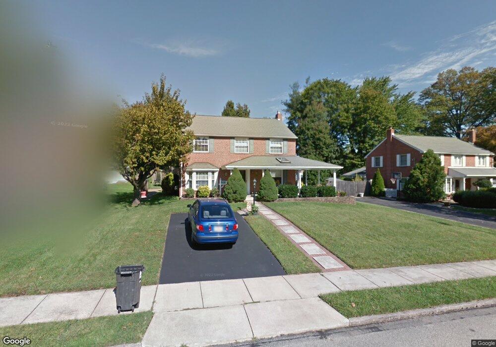
16 Curtis Rd Springfield, PA 19064
Estimated Value: $457,916 - $518,000
3
Beds
1
Bath
1,716
Sq Ft
$286/Sq Ft
Est. Value
About This Home
This home is located at 16 Curtis Rd, Springfield, PA 19064 and is currently estimated at $490,229, approximately $285 per square foot. 16 Curtis Rd is a home located in Delaware County with nearby schools including Springfield High School, St Francis Of Assisi School, and St Dorothy School.
Ownership History
Date
Name
Owned For
Owner Type
Purchase Details
Closed on
Mar 23, 1998
Sold by
Sulpizio Domenic
Bought by
Sulpizio Domenic and Sulpizio Christine
Current Estimated Value
Home Financials for this Owner
Home Financials are based on the most recent Mortgage that was taken out on this home.
Original Mortgage
$101,000
Outstanding Balance
$18,412
Interest Rate
6.98%
Estimated Equity
$471,817
Purchase Details
Closed on
May 24, 1994
Sold by
Jones Howard K
Bought by
Sulpizio Dominic
Home Financials for this Owner
Home Financials are based on the most recent Mortgage that was taken out on this home.
Original Mortgage
$105,200
Interest Rate
8.22%
Create a Home Valuation Report for This Property
The Home Valuation Report is an in-depth analysis detailing your home's value as well as a comparison with similar homes in the area
Home Values in the Area
Average Home Value in this Area
Purchase History
| Date | Buyer | Sale Price | Title Company |
|---|---|---|---|
| Sulpizio Domenic | -- | First American Title Ins Co | |
| Sulpizio Dominic | $131,500 | -- |
Source: Public Records
Mortgage History
| Date | Status | Borrower | Loan Amount |
|---|---|---|---|
| Open | Sulpizio Domenic | $101,000 | |
| Closed | Sulpizio Dominic | $105,200 |
Source: Public Records
Tax History
| Year | Tax Paid | Tax Assessment Tax Assessment Total Assessment is a certain percentage of the fair market value that is determined by local assessors to be the total taxable value of land and additions on the property. | Land | Improvement |
|---|---|---|---|---|
| 2025 | $7,270 | $258,650 | $96,070 | $162,580 |
| 2024 | $7,270 | $258,650 | $96,070 | $162,580 |
| 2023 | $7,000 | $258,650 | $96,070 | $162,580 |
| 2022 | $6,849 | $258,650 | $96,070 | $162,580 |
| 2021 | $10,606 | $258,650 | $96,070 | $162,580 |
| 2020 | $6,191 | $136,630 | $46,190 | $90,440 |
| 2019 | $6,046 | $136,630 | $46,190 | $90,440 |
| 2018 | $5,959 | $136,630 | $0 | $0 |
| 2017 | $5,821 | $136,630 | $0 | $0 |
| 2016 | $750 | $136,630 | $0 | $0 |
| 2015 | $765 | $136,630 | $0 | $0 |
| 2014 | $765 | $136,630 | $0 | $0 |
Source: Public Records
Map
Nearby Homes
- 606 W Springfield Rd
- 501 Flora Cir
- 412 Foster Dr
- 436 Kerr Ln
- 641 W Sproul Rd
- 359 Spring Valley Rd
- 499 Collins Dr
- 120 W Springfield Rd
- 463 Foulke Ln
- 29 School Ln
- 42 Greenhill Rd
- 364 S Rolling Rd
- 658 W Rolling Rd
- 249 Gleaves Rd
- 474 Ridge Ln
- 225 Lynbrooke Rd
- 238 Alliston Rd
- 264 Pancoast Ave
- 109 Jackdaw Aly
- 208 Jackdaw Aly
Your Personal Tour Guide
Ask me questions while you tour the home.