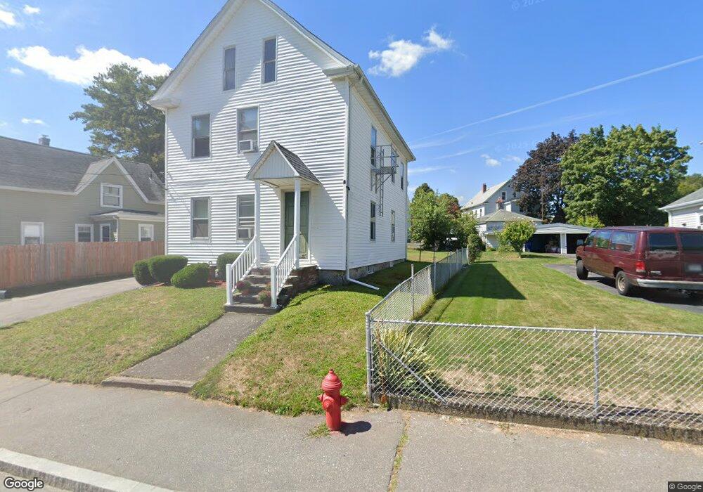
16 Danforth St Taunton, MA 02780
Whittenton Junction NeighborhoodEstimated Value: $452,051 - $695,000
5
Beds
2
Baths
1,540
Sq Ft
$363/Sq Ft
Est. Value
About This Home
This home is located at 16 Danforth St, Taunton, MA 02780 and is currently estimated at $558,263, approximately $362 per square foot. 16 Danforth St is a home located in Bristol County with nearby schools including H. H. Galligan School, Benjamin Friedman Middle School, and Taunton High School.
Ownership History
Date
Name
Owned For
Owner Type
Purchase Details
Closed on
Jun 25, 2024
Sold by
Danforth St 2012 Rt and Batista
Bought by
Batista John L and Batista Maria A
Current Estimated Value
Purchase Details
Closed on
Jun 11, 2013
Sold by
Batista John L and Batista Maria A
Bought by
Danforth Street Rt and Batista
Purchase Details
Closed on
Aug 4, 1989
Sold by
Connell Clarence L
Bought by
Batista John L
Home Financials for this Owner
Home Financials are based on the most recent Mortgage that was taken out on this home.
Original Mortgage
$71,200
Interest Rate
10%
Mortgage Type
Purchase Money Mortgage
Create a Home Valuation Report for This Property
The Home Valuation Report is an in-depth analysis detailing your home's value as well as a comparison with similar homes in the area
Home Values in the Area
Average Home Value in this Area
Purchase History
| Date | Buyer | Sale Price | Title Company |
|---|---|---|---|
| Batista John L | -- | None Available | |
| Batista John L | -- | None Available | |
| Danforth Street Rt | -- | -- | |
| Danforth Street Rt | -- | -- | |
| Batista John L | $95,000 | -- | |
| Batista John L | $95,000 | -- |
Source: Public Records
Mortgage History
| Date | Status | Borrower | Loan Amount |
|---|---|---|---|
| Previous Owner | Batista John L | $71,200 |
Source: Public Records
Tax History
| Year | Tax Paid | Tax Assessment Tax Assessment Total Assessment is a certain percentage of the fair market value that is determined by local assessors to be the total taxable value of land and additions on the property. | Land | Improvement |
|---|---|---|---|---|
| 2025 | $4,699 | $429,500 | $96,100 | $333,400 |
| 2024 | $4,303 | $384,500 | $96,100 | $288,400 |
| 2023 | $4,017 | $333,400 | $96,100 | $237,300 |
| 2022 | $3,610 | $273,900 | $80,100 | $193,800 |
| 2021 | $3,500 | $246,500 | $72,800 | $173,700 |
| 2020 | $3,409 | $229,400 | $72,800 | $156,600 |
| 2019 | $3,103 | $196,900 | $72,800 | $124,100 |
| 2018 | $2,970 | $188,900 | $72,600 | $116,300 |
| 2017 | $2,738 | $174,300 | $68,800 | $105,500 |
| 2016 | $2,628 | $167,600 | $66,800 | $100,800 |
| 2015 | $2,385 | $158,900 | $67,500 | $91,400 |
| 2014 | $2,281 | $156,100 | $64,700 | $91,400 |
Source: Public Records
Map
Nearby Homes
Your Personal Tour Guide
Ask me questions while you tour the home.