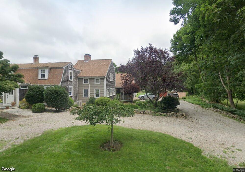
16 Division Rd North Dartmouth, MA 02747
Great Neck NeighborhoodEstimated Value: $782,096 - $961,000
2
Beds
3
Baths
2,296
Sq Ft
$367/Sq Ft
Est. Value
About This Home
This home is located at 16 Division Rd, North Dartmouth, MA 02747 and is currently estimated at $842,024, approximately $366 per square foot. 16 Division Rd is a home located in Bristol County with nearby schools including Dartmouth High School.
Ownership History
Date
Name
Owned For
Owner Type
Purchase Details
Closed on
Apr 27, 1990
Sold by
Leeming Elwood P
Bought by
Sullivan Kevin J
Current Estimated Value
Purchase Details
Closed on
Apr 21, 1989
Sold by
Whitney Martha B
Bought by
Leeming Elwood P
Purchase Details
Closed on
May 14, 1987
Sold by
Brown Sarah J
Bought by
Whitney Martha B
Create a Home Valuation Report for This Property
The Home Valuation Report is an in-depth analysis detailing your home's value as well as a comparison with similar homes in the area
Home Values in the Area
Average Home Value in this Area
Purchase History
| Date | Buyer | Sale Price | Title Company |
|---|---|---|---|
| Sullivan Kevin J | $154,000 | -- | |
| Sullivan Kevin J | $154,000 | -- | |
| Leeming Elwood P | $185,000 | -- | |
| Whitney Martha B | $189,000 | -- |
Source: Public Records
Mortgage History
| Date | Status | Borrower | Loan Amount |
|---|---|---|---|
| Open | Whitney Martha B | $31,650 | |
| Open | Whitney Martha B | $61,000 | |
| Open | Whitney Martha B | $110,000 |
Source: Public Records
Tax History Compared to Growth
Tax History
| Year | Tax Paid | Tax Assessment Tax Assessment Total Assessment is a certain percentage of the fair market value that is determined by local assessors to be the total taxable value of land and additions on the property. | Land | Improvement |
|---|---|---|---|---|
| 2025 | $6,199 | $672,300 | $225,800 | $446,500 |
| 2024 | $5,859 | $632,700 | $215,400 | $417,300 |
| 2023 | $5,815 | $587,400 | $199,800 | $387,600 |
| 2022 | $5,555 | $516,700 | $191,100 | $325,600 |
| 2021 | $5,597 | $503,300 | $168,700 | $334,600 |
| 2020 | $5,473 | $489,500 | $168,700 | $320,800 |
| 2019 | $5,271 | $472,700 | $168,700 | $304,000 |
| 2018 | $5,927 | $457,900 | $168,700 | $289,200 |
| 2017 | $4,914 | $451,700 | $159,200 | $292,500 |
| 2016 | $4,626 | $419,800 | $156,000 | $263,800 |
| 2015 | $4,535 | $412,300 | $145,700 | $266,600 |
| 2014 | $4,093 | $370,700 | $132,400 | $238,300 |
Source: Public Records
Map
Nearby Homes
- 73 White Oak Run
- 2 Slades Farm Ln
- 225 Hixbridge Rd
- 1150 Russells Mills Rd
- 920 Drift Rd
- 99 Sylvia Ln
- 47 Fallon Dr
- 0 Hidden Glen Ln
- 118 Charlotte White Rd Extension
- Lot 2E Horseneck Rd
- Lot 0 Marcotte
- 837 Main Rd
- 7 Village Way
- 8 Village Way
- 15 Village Way
- 8 Strawberry Ln
- 101 Adamsville Rd
- 118 Charlotte White Rd
- 248 Bakerville Rd
- 61 Pardon Hill Rd
- 16 Division Rd
- 192 Gidley Town Rd
- 26 Division Rd
- 5 Division Rd
- 0 White Oak Run Unit 71123826
- 0 White Oak Run Unit 71356646
- 0 White Oak Run Unit 71447144
- 0 White Oak Run Unit 71874198
- 0 White Oak Run Unit 72047012
- 0 White Oak Run Unit 72885528
- 765 Hixbridge Rd
- 0 Division Rd
- 0 Division Rd Unit 72368540
- 0 Division Rd
- 0 Division Rd Unit 730720
- 0 Division Rd Unit 1199108
- 0 Division Rd Unit 1213581
- 0 Division Rd Unit 70493743
- 0 Division Rd Unit 70410592
- 0 Division Rd Unit 72444979