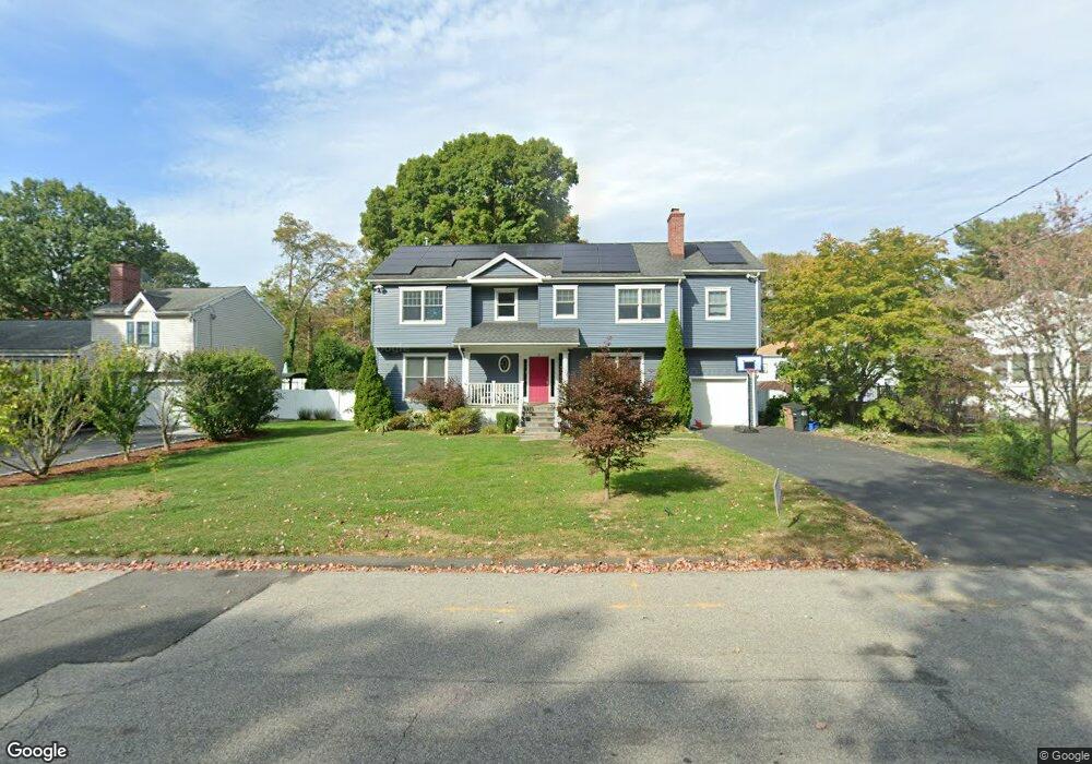
16 Dunn Ave Stamford, CT 06905
Turn of the River-Newfield NeighborhoodEstimated Value: $702,000 - $1,017,644
3
Beds
3
Baths
2,443
Sq Ft
$359/Sq Ft
Est. Value
About This Home
This home is located at 16 Dunn Ave, Stamford, CT 06905 and is currently estimated at $877,411, approximately $359 per square foot. 16 Dunn Ave is a home located in Fairfield County with nearby schools including Davenport Ridge Elementary School, Rippowam Middle School, and Stamford High School.
Ownership History
Date
Name
Owned For
Owner Type
Purchase Details
Closed on
Aug 11, 2006
Sold by
Herbster Robert and Herbster Amy L
Bought by
Wolly Peter and Horowitz Dana
Current Estimated Value
Purchase Details
Closed on
Dec 20, 2000
Sold by
Bova Mildred Est and Hennessey
Bought by
Williams Amy D
Create a Home Valuation Report for This Property
The Home Valuation Report is an in-depth analysis detailing your home's value as well as a comparison with similar homes in the area
Home Values in the Area
Average Home Value in this Area
Purchase History
| Date | Buyer | Sale Price | Title Company |
|---|---|---|---|
| Wolly Peter | $760,000 | -- | |
| Wolly Peter | $760,000 | -- | |
| Williams Amy D | $280,000 | -- | |
| Williams Amy D | $280,000 | -- |
Source: Public Records
Mortgage History
| Date | Status | Borrower | Loan Amount |
|---|---|---|---|
| Open | Williams Amy D | $100,000 | |
| Open | Williams Amy D | $308,185 |
Source: Public Records
Tax History Compared to Growth
Tax History
| Year | Tax Paid | Tax Assessment Tax Assessment Total Assessment is a certain percentage of the fair market value that is determined by local assessors to be the total taxable value of land and additions on the property. | Land | Improvement |
|---|---|---|---|---|
| 2025 | $13,430 | $567,640 | $234,920 | $332,720 |
| 2024 | $12,636 | $546,080 | $234,920 | $311,160 |
| 2023 | $13,576 | $546,080 | $234,920 | $311,160 |
| 2022 | $11,697 | $437,420 | $174,420 | $263,000 |
| 2021 | $11,570 | $437,420 | $174,420 | $263,000 |
| 2020 | $11,272 | $437,420 | $174,420 | $263,000 |
| 2019 | $11,272 | $437,420 | $174,420 | $263,000 |
| 2018 | $10,857 | $437,420 | $174,420 | $263,000 |
| 2017 | $10,538 | $405,320 | $160,480 | $244,840 |
| 2016 | $10,079 | $398,870 | $160,480 | $238,390 |
| 2015 | $9,816 | $398,870 | $160,480 | $238,390 |
| 2014 | $9,489 | $398,870 | $160,480 | $238,390 |
Source: Public Records
Map
Nearby Homes
- 28 Winter St
- 38 Lancaster Place
- 56 Bradley Place
- 20 Wild Horse Rd
- 7 the Reserve at Sterling Ridge
- 14 Barmore Dr
- 226 Cedar Heights Rd
- 160 Wire Mill Rd
- 181 Crystal Lake Rd
- 400 Wire Mill Rd
- 27 Emma Rd
- 81 Blackwood Ln
- 1 Robinson Dr
- 60 Redmont Rd
- 113 Wood Ridge Dr
- 41 Simsbury Rd
- 157 Woodridge Dr S
- 500 High Ridge Rd
- 210 Red Fox Rd
- 51 Northwood Ln
- 8 Dunn Ave
- 19 Dunn Ave
- 10 Finch St
- 13 Dunn Ave
- 24 Dunn Ave
- 23 Dunn Ave
- 27 Dunn Ave
- 2 Dunn Ave
- 55 Cedar Heights Rd
- 31 Cedar Heights Rd
- 39 Dunn Ave
- 61 Cedar Heights Rd
- 61 Cedar Heights Rd
- 25 Cedar Heights Rd
- 28 Dunn Ave
- 44 Dunn Ave
- 42 Cedar Heights Rd
- 41 Dunn Ave
- 28 Cedar Heights Rd
- 26 Cedar Heights Rd