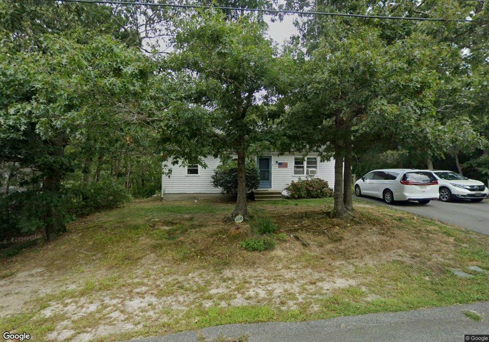
16 Dutchland Dr Yarmouth Port, MA 02675
Yarmouth Port NeighborhoodEstimated Value: $430,000 - $455,000
2
Beds
1
Bath
912
Sq Ft
$487/Sq Ft
Est. Value
About This Home
This home is located at 16 Dutchland Dr, Yarmouth Port, MA 02675 and is currently estimated at $443,987, approximately $486 per square foot. 16 Dutchland Dr is a home located in Barnstable County with nearby schools including Dennis-Yarmouth Regional High School and St. Pius X. School.
Ownership History
Date
Name
Owned For
Owner Type
Purchase Details
Closed on
May 2, 2000
Sold by
Adams Elizabeth M
Bought by
Miville Daniel J and Miville Maegan
Current Estimated Value
Home Financials for this Owner
Home Financials are based on the most recent Mortgage that was taken out on this home.
Original Mortgage
$74,900
Interest Rate
8.23%
Mortgage Type
Purchase Money Mortgage
Purchase Details
Closed on
Aug 31, 1990
Sold by
Dacey William E
Bought by
Hirsch Elizabeth M
Home Financials for this Owner
Home Financials are based on the most recent Mortgage that was taken out on this home.
Original Mortgage
$71,100
Interest Rate
9.85%
Mortgage Type
Purchase Money Mortgage
Create a Home Valuation Report for This Property
The Home Valuation Report is an in-depth analysis detailing your home's value as well as a comparison with similar homes in the area
Home Values in the Area
Average Home Value in this Area
Purchase History
| Date | Buyer | Sale Price | Title Company |
|---|---|---|---|
| Miville Daniel J | $74,900 | -- | |
| Hirsch Elizabeth M | $74,900 | -- |
Source: Public Records
Mortgage History
| Date | Status | Borrower | Loan Amount |
|---|---|---|---|
| Open | Hirsch Elizabeth M | $25,000 | |
| Open | Hirsch Elizabeth M | $76,536 | |
| Closed | Hirsch Elizabeth M | $74,900 | |
| Previous Owner | Hirsch Elizabeth M | $71,100 |
Source: Public Records
Tax History Compared to Growth
Tax History
| Year | Tax Paid | Tax Assessment Tax Assessment Total Assessment is a certain percentage of the fair market value that is determined by local assessors to be the total taxable value of land and additions on the property. | Land | Improvement |
|---|---|---|---|---|
| 2025 | $2,305 | $325,500 | $86,500 | $239,000 |
| 2024 | $2,291 | $310,400 | $91,100 | $219,300 |
| 2023 | $2,276 | $280,700 | $81,200 | $199,500 |
| 2022 | $2,121 | $231,100 | $73,100 | $158,000 |
| 2021 | $1,973 | $206,400 | $73,100 | $133,300 |
| 2020 | $1,916 | $191,600 | $73,100 | $118,500 |
| 2019 | $1,755 | $173,800 | $73,100 | $100,700 |
| 2018 | $1,649 | $160,300 | $59,600 | $100,700 |
| 2017 | $1,606 | $160,300 | $59,600 | $100,700 |
| 2016 | $1,546 | $154,900 | $54,200 | $100,700 |
| 2015 | $1,451 | $144,500 | $54,200 | $90,300 |
Source: Public Records
Map
Nearby Homes
- 16 Warren Rd Unit 16
- 16 Warren Rd
- 32 Deveau Ln
- 40 Deveau Ln
- 8 Rowley Ln
- 209 Union St
- 68 Seminole Dr
- 0 Forsyth Ave
- 14 Many Oaks Cir
- 30 Quartermaster Row
- 33 Sparrow Way
- 72 Quartermaster Row
- 17 Trowbridge Path
- 176 Beacon St
- 882 W Yarmouth Rd
- 1 Hamblin Hill
- 50 Cottonwood St
- 76 Captain Chase Rd
- 105 Webbers Path
- 170 Pine St