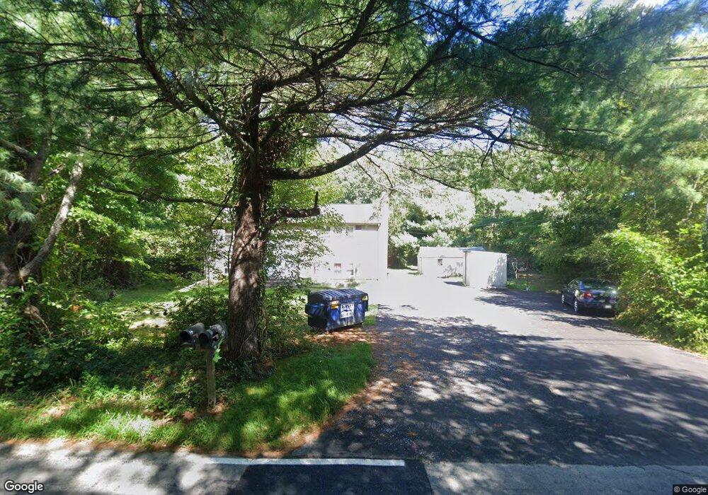
16 E Hodges St Unit 18 Norton, MA 02766
Estimated Value: $502,204 - $538,000
4
Beds
2
Baths
1,198
Sq Ft
$432/Sq Ft
Est. Value
About This Home
This home is located at 16 E Hodges St Unit 18, Norton, MA 02766 and is currently estimated at $518,068, approximately $432 per square foot. 16 E Hodges St Unit 18 is a home located in Bristol County with nearby schools including J.C. Solmonese Elementary School, Henri A. Yelle Elementary School, and Norton Middle School.
Ownership History
Date
Name
Owned For
Owner Type
Purchase Details
Closed on
Aug 15, 2001
Sold by
Smith Aaron P and Smith Aaron P
Bought by
Coates Jenny L
Current Estimated Value
Create a Home Valuation Report for This Property
The Home Valuation Report is an in-depth analysis detailing your home's value as well as a comparison with similar homes in the area
Home Values in the Area
Average Home Value in this Area
Purchase History
| Date | Buyer | Sale Price | Title Company |
|---|---|---|---|
| Coates Jenny L | $200,000 | -- | |
| Coates Jenny L | $200,000 | -- |
Source: Public Records
Mortgage History
| Date | Status | Borrower | Loan Amount |
|---|---|---|---|
| Open | Coates Jenny L | $120,000 | |
| Closed | Coates Jenny L | $187,000 | |
| Closed | Coates Jenny L | $182,650 |
Source: Public Records
Tax History
| Year | Tax Paid | Tax Assessment Tax Assessment Total Assessment is a certain percentage of the fair market value that is determined by local assessors to be the total taxable value of land and additions on the property. | Land | Improvement |
|---|---|---|---|---|
| 2025 | $52 | $402,900 | $176,600 | $226,300 |
| 2024 | $4,970 | $383,800 | $168,200 | $215,600 |
| 2023 | $4,747 | $365,400 | $158,600 | $206,800 |
| 2022 | $4,607 | $323,100 | $144,200 | $178,900 |
| 2021 | $4,385 | $293,700 | $137,400 | $156,300 |
| 2020 | $4,256 | $287,600 | $133,300 | $154,300 |
| 2019 | $4,024 | $270,100 | $121,500 | $148,600 |
| 2018 | $3,916 | $258,300 | $121,500 | $136,800 |
| 2017 | $3,876 | $252,200 | $121,500 | $130,700 |
| 2016 | $3,757 | $240,700 | $121,500 | $119,200 |
| 2015 | $3,626 | $235,600 | $119,100 | $116,500 |
| 2014 | $3,454 | $224,700 | $113,400 | $111,300 |
Source: Public Records
Map
Nearby Homes
- 125 John Scott Blvd
- 86 E Hodges St Unit 86
- 127 John Scott Blvd
- 5 Richmond Dr
- 1 Heritage Rd Unit 1
- 39 Heritage Way
- 178 S Worcester St
- 170 S Worcester St Unit 3
- 8 Kasmira Way
- 18 Slater St
- 108 S Worcester St
- 26 Barrows Ct
- 1 Round Farm Rd
- 2 Edgewater Dr Unit 2
- 40 Duffy Dr
- 8 Country Cir
- 49 Teaberry Ln
- 48 Round Farm Rd
- 52 Round Farm Rd
- 305 Shag Bark Rd
Your Personal Tour Guide
Ask me questions while you tour the home.