16 E Shore Rd Rd Westport Point, MA 02791
Westport Point NeighborhoodEstimated Value: $1,041,000 - $1,485,000
2
Beds
2
Baths
2,013
Sq Ft
$664/Sq Ft
Est. Value
About This Home
This home is located at 16 E Shore Rd Rd, Westport Point, MA 02791 and is currently estimated at $1,337,470, approximately $664 per square foot. 16 E Shore Rd Rd is a home with nearby schools including Alice A. Macomber Primary School, Westport Elementary School, and Westport Middle-High School.
Ownership History
Date
Name
Owned For
Owner Type
Purchase Details
Closed on
Jan 4, 2021
Sold by
Green George E
Bought by
George E Green Jr Irt and Green
Current Estimated Value
Purchase Details
Closed on
Nov 21, 2011
Sold by
Green George E and Green Laura M
Bought by
Green George E
Purchase Details
Closed on
Aug 19, 2005
Sold by
Bliss Barbara
Bought by
Green George E and Green Laura M
Home Financials for this Owner
Home Financials are based on the most recent Mortgage that was taken out on this home.
Original Mortgage
$450,000
Interest Rate
5.66%
Mortgage Type
Purchase Money Mortgage
Create a Home Valuation Report for This Property
The Home Valuation Report is an in-depth analysis detailing your home's value as well as a comparison with similar homes in the area
Home Values in the Area
Average Home Value in this Area
Purchase History
| Date | Buyer | Sale Price | Title Company |
|---|---|---|---|
| George E Green Jr Irt | -- | None Available | |
| Green George E | -- | -- | |
| Green George E | $700,000 | -- |
Source: Public Records
Mortgage History
| Date | Status | Borrower | Loan Amount |
|---|---|---|---|
| Previous Owner | Green George E | $235,000 | |
| Previous Owner | Green George E | $250,000 | |
| Previous Owner | Green George E | $450,000 |
Source: Public Records
Tax History Compared to Growth
Tax History
| Year | Tax Paid | Tax Assessment Tax Assessment Total Assessment is a certain percentage of the fair market value that is determined by local assessors to be the total taxable value of land and additions on the property. | Land | Improvement |
|---|---|---|---|---|
| 2025 | $8,300 | $1,114,100 | $752,500 | $361,600 |
| 2024 | $7,850 | $1,015,500 | $661,200 | $354,300 |
| 2023 | $7,825 | $959,000 | $629,700 | $329,300 |
| 2022 | $7,575 | $893,300 | $629,700 | $263,600 |
| 2021 | $6,517 | $756,000 | $520,400 | $235,600 |
| 2020 | $6,108 | $724,600 | $499,600 | $225,000 |
| 2019 | $6,535 | $790,200 | $567,900 | $222,300 |
| 2018 | $5,590 | $684,200 | $469,000 | $215,200 |
| 2017 | $5,471 | $686,500 | $469,000 | $217,500 |
| 2016 | $5,248 | $663,500 | $469,000 | $194,500 |
| 2015 | $5,219 | $658,100 | $469,000 | $189,100 |
Source: Public Records
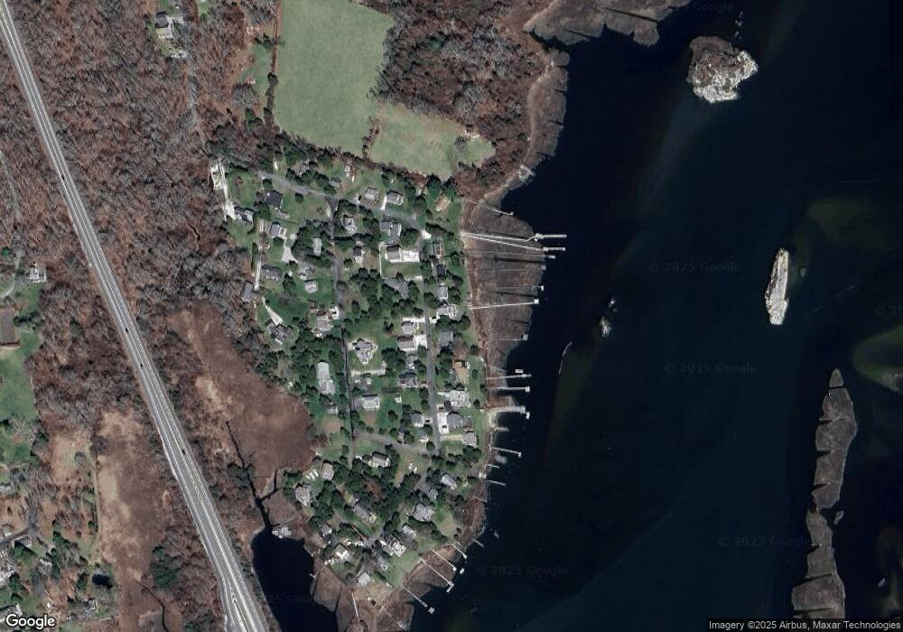
Map
Nearby Homes
- 1881 Main Rd
- 1702 Drift Rd
- 1702J Drift Rd
- 0 Reed Rd (Ss)
- 1580 Main Rd
- 99 Sylvia Ln
- 238-242 E Beach Rd
- 1346 Main Rd Unit B
- 19 Seabury Ln
- Lot 2 Horseneck Rd
- 189 Brayton Point Rd
- 304 Brayton Point Rd
- 225 Hixbridge Rd
- 255 John Dyer Rd
- 920 Drift Rd
- Lot 2E Horseneck Rd
- 245 John Dyer Rd
- 17 Quail Trail
- 2 Slades Farm Ln
- 101 Adamsville Rd
- 52 E Shore Rd
- 52 E Shore Rd Unit 1
- 20 E Shore Rd
- 12 E Shore Rd
- 10 E Dr
- 6 E Shore Rd
- 11 E Shore Rd
- 23 E Shore Rd
- 26 E Shore Rd
- 9 E Shore Rd
- 126 E Shore Rd
- 23 Red Cedar Rd
- 23 Cedar Ln Unit RED
- 25 E Shore Rd
- 3 E Shore Rd
- 30 E Shore Rd
- 39 Cedar Ln Unit RED
- 39 Red Cedar Rd
- 106 Masquesatch Rd
- 32 E Shore Rd