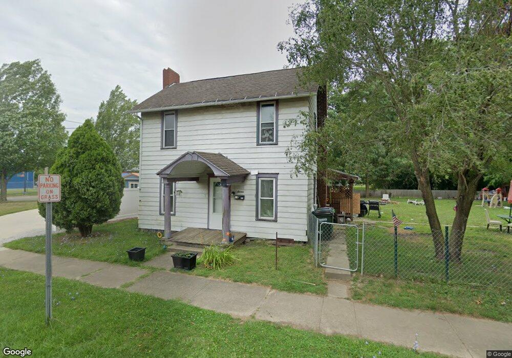
16 E Vine St Alliance, OH 44601
2
Beds
1
Bath
1,116
Sq Ft
7,405
Sq Ft Lot
About This Home
This home is located at 16 E Vine St, Alliance, OH 44601. 16 E Vine St is a home located in Stark County with nearby schools including Alliance Early Learning School, Alliance Intermediate School at Northside, and Alliance Middle School.
Create a Home Valuation Report for This Property
The Home Valuation Report is an in-depth analysis detailing your home's value as well as a comparison with similar homes in the area
Home Values in the Area
Average Home Value in this Area
Tax History
| Year | Tax Paid | Tax Assessment Tax Assessment Total Assessment is a certain percentage of the fair market value that is determined by local assessors to be the total taxable value of land and additions on the property. | Land | Improvement |
|---|---|---|---|---|
| 2022 | $544 | $12,500 | $2,030 | $10,470 |
| 2021 | $519 | $12,500 | $2,030 | $10,470 |
| 2020 | $459 | $10,330 | $1,750 | $8,580 |
| 2019 | $453 | $10,330 | $1,750 | $8,580 |
| 2018 | $455 | $10,330 | $1,750 | $8,580 |
| 2017 | $0 | $8,720 | $1,470 | $7,250 |
| 2016 | $0 | $8,720 | $1,470 | $7,250 |
| 2015 | $194 | $8,720 | $1,470 | $7,250 |
| 2014 | $377 | $8,090 | $1,370 | $6,720 |
| 2013 | $188 | $8,090 | $1,370 | $6,720 |
Source: Public Records
Map
Nearby Homes
- 717 Garfield Ave
- 710 N Freedom Ave
- 505 N Union Ave
- 11344 Walnut Ave NE
- 15832 Waverly St NE
- 171 1/2 W Main St
- 62 E Market St
- 163 W Market St
- 361 E Main St
- 000 Meadowbrook Ave
- 0 Meadowbrook Ave
- 33 S Lincoln Ave
- 11584 Rockhill Ave NE
- 264 W Market St
- 11335 Meadowbrook Ave NE
- 1015 Reed St
- 118 S Mckinley Ave
- 1025 Reed St
- 847 E Patterson St
- 343 W Columbia St
- 16 E Vine St
- 25 E Vine St
- 843 N Union Ave
- 829 N Union Ave
- 0 Vine St W Unit 3999448
- 912 N Union Ave
- 920 N Union Ave
- 840 N Union Ave
- 904 N Union Ave
- 840 N Park Ave
- 807 N Union Ave
- 818 N Park Ave
- 818 N Park Ave
- 955 N Union Ave
- 806 N Park Ave
- 975 N Union Ave
- 1000 N Union Ave
- 25 E Perry St
- 812 Diehl Ct
- 818 Diehl Ct
Your Personal Tour Guide
Ask me questions while you tour the home.