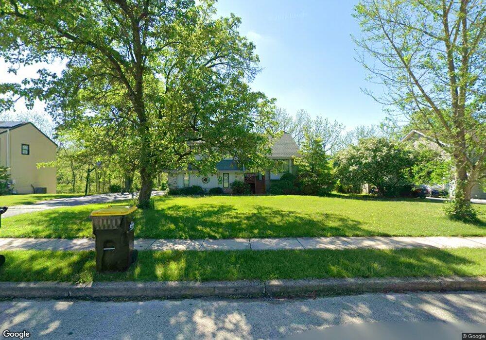
16 Embassy Cir Norristown, PA 19403
Estimated Value: $589,000 - $624,000
4
Beds
3
Baths
2,542
Sq Ft
$240/Sq Ft
Est. Value
About This Home
This home is located at 16 Embassy Cir, Norristown, PA 19403 and is currently estimated at $608,931, approximately $239 per square foot. 16 Embassy Cir is a home located in Montgomery County with nearby schools including Paul V Fly Elementary School, East Norriton Middle School, and Charles Blockson Middle School.
Ownership History
Date
Name
Owned For
Owner Type
Purchase Details
Closed on
Aug 11, 2023
Sold by
Harbaugh Steve and Harbaugh Linda
Bought by
Harbaugh Steve
Current Estimated Value
Purchase Details
Closed on
Dec 28, 2001
Sold by
Romano Shawn T and Romano Anne Marie
Bought by
Harbough Steve and Harbough Linda
Purchase Details
Closed on
May 31, 2001
Sold by
Cimino Dean J and Cimino Rita M Pascale
Bought by
Romano Shawn T and Fernandez Anne Marie
Create a Home Valuation Report for This Property
The Home Valuation Report is an in-depth analysis detailing your home's value as well as a comparison with similar homes in the area
Home Values in the Area
Average Home Value in this Area
Purchase History
| Date | Buyer | Sale Price | Title Company |
|---|---|---|---|
| Harbaugh Steve | -- | None Listed On Document | |
| Harbough Steve | $269,000 | T A Title Insurance Company | |
| Romano Shawn T | $220,000 | -- |
Source: Public Records
Tax History Compared to Growth
Tax History
| Year | Tax Paid | Tax Assessment Tax Assessment Total Assessment is a certain percentage of the fair market value that is determined by local assessors to be the total taxable value of land and additions on the property. | Land | Improvement |
|---|---|---|---|---|
| 2025 | $9,953 | $211,290 | $63,560 | $147,730 |
| 2024 | $9,953 | $211,290 | $63,560 | $147,730 |
| 2023 | $9,836 | $211,290 | $63,560 | $147,730 |
| 2022 | $9,771 | $211,290 | $63,560 | $147,730 |
| 2021 | $9,709 | $211,290 | $63,560 | $147,730 |
| 2020 | $9,408 | $211,290 | $63,560 | $147,730 |
| 2019 | $9,190 | $211,290 | $63,560 | $147,730 |
| 2018 | $9,190 | $211,290 | $63,560 | $147,730 |
| 2017 | $8,655 | $211,290 | $63,560 | $147,730 |
| 2016 | $8,573 | $211,290 | $63,560 | $147,730 |
| 2015 | $8,124 | $211,290 | $63,560 | $147,730 |
| 2014 | $8,124 | $211,290 | $63,560 | $147,730 |
Source: Public Records
Map
Nearby Homes
- 911 Caralea Dr
- 3006 Potshop Rd
- 805 Sandra Ln
- 515 Faith Dr
- 511 Faith Dr
- 758 Sandra Ln
- 805 Stonybrook Dr
- 3122 Taft Rd
- 1110 Stonybrook Dr
- 425 Cherry Blossom Ln
- 1803 Sweet Gum Dr
- 2158 Alexander Dr
- 3218 Nottingham Rd
- 0 Windy Hill Rd Unit METHACTON SD
- 1507 Potshop Rd
- 2939 W Germantown Pike
- 1104 Arden Dr Unit METHACTON SCHOOL
- 00 Arden Dr Unit METHACTON SCHOOL
- 000 Arden Dr Unit METHACTON SD
- 930 Heritage Dr
- 18 Embassy Cir
- 14 Embassy Cir
- 20 Embassy Cir
- 12 Embassy Cir
- 11 Embassy Cir
- 13 Embassy Cir
- 9 Embassy Cir
- 15 Embassy Cir
- 10 Embassy Cir
- 22 Embassy Cir
- 7 Embassy Cir
- 17 Embassy Cir
- 2916 Toll Gate Dr
- 2912 Toll Gate Dr
- 8 Embassy Cir
- 2906 Rosa Ln
- 2918 Toll Gate Dr
- 2910 Toll Gate Dr
- 5 Embassy Cir
- 19 Embassy Cir