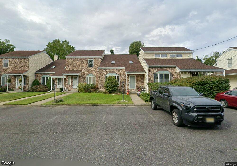
16 Eunice Ln Unit 16 West Long Branch, NJ 07764
Estimated Value: $429,059 - $468,000
2
Beds
2
Baths
1,171
Sq Ft
$389/Sq Ft
Est. Value
About This Home
This home is located at 16 Eunice Ln Unit 16, West Long Branch, NJ 07764 and is currently estimated at $456,015, approximately $389 per square foot. 16 Eunice Ln Unit 16 is a home located in Monmouth County with nearby schools including Betty McElmon Elementary School, Frank Antonides School, and Shore Regional High School.
Ownership History
Date
Name
Owned For
Owner Type
Purchase Details
Closed on
Apr 21, 2008
Sold by
Piantanida John R
Bought by
Burton Brian C
Current Estimated Value
Home Financials for this Owner
Home Financials are based on the most recent Mortgage that was taken out on this home.
Original Mortgage
$257,454
Outstanding Balance
$165,200
Interest Rate
6.22%
Mortgage Type
FHA
Estimated Equity
$290,815
Create a Home Valuation Report for This Property
The Home Valuation Report is an in-depth analysis detailing your home's value as well as a comparison with similar homes in the area
Home Values in the Area
Average Home Value in this Area
Purchase History
| Date | Buyer | Sale Price | Title Company |
|---|---|---|---|
| Burton Brian C | $267,000 | Multiple |
Source: Public Records
Mortgage History
| Date | Status | Borrower | Loan Amount |
|---|---|---|---|
| Open | Burton Brian C | $257,454 |
Source: Public Records
Tax History Compared to Growth
Tax History
| Year | Tax Paid | Tax Assessment Tax Assessment Total Assessment is a certain percentage of the fair market value that is determined by local assessors to be the total taxable value of land and additions on the property. | Land | Improvement |
|---|---|---|---|---|
| 2025 | $4,498 | $377,400 | $201,200 | $176,200 |
| 2024 | $4,116 | $345,200 | $176,700 | $168,500 |
| 2023 | $4,116 | $294,600 | $130,000 | $164,600 |
| 2022 | $4,749 | $303,400 | $130,000 | $173,400 |
| 2021 | $4,749 | $245,700 | $110,000 | $135,700 |
| 2020 | $4,985 | $242,600 | $110,000 | $132,600 |
| 2019 | $4,738 | $231,800 | $100,000 | $131,800 |
| 2018 | $4,141 | $195,700 | $70,000 | $125,700 |
| 2017 | $4,253 | $191,900 | $70,000 | $121,900 |
| 2016 | $3,884 | $178,800 | $60,000 | $118,800 |
| 2015 | $3,547 | $163,100 | $60,000 | $103,100 |
| 2014 | $4,273 | $183,300 | $85,000 | $98,300 |
Source: Public Records
Map
Nearby Homes
- 17 Eunice Ln
- 15 Eunice Ln
- 18 Eunice Ln Unit 1418
- 19 Eunice Ln
- 14 Eunice Ln
- 20 Eunice Ln Unit 1420
- 13 Eunice Ln
- 21 Eunice Ln
- 12 Eunice Terrace
- 12 Eunice Ln Unit 1412
- 11 Eunice Ln Unit 1411
- 30 Victor Ave
- 10 Eunice Ln
- 34 Victor Ave
- 9 Eunice Terrace
- 9 Eunice Ln
- 8 Eunice Ln Unit 1408
- 38 Victor Ave
- 26 Victor Ave
- 26 Victor Ave Unit 1