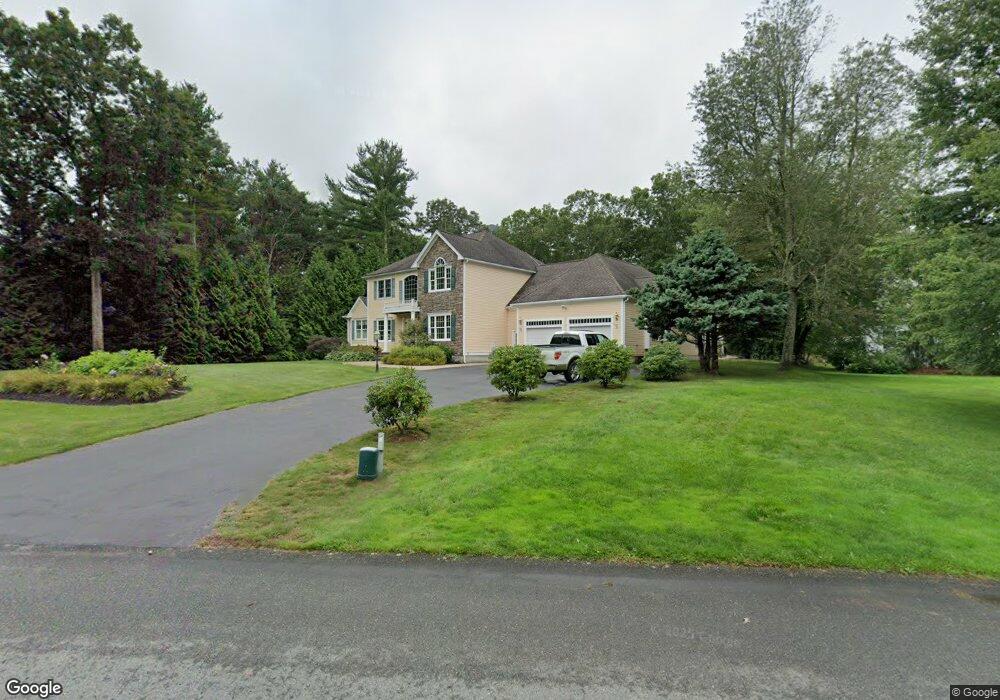
16 Fieldstone Dr Westport, MA 02790
North Westport NeighborhoodEstimated Value: $720,000 - $1,117,000
4
Beds
4
Baths
3,100
Sq Ft
$312/Sq Ft
Est. Value
About This Home
This home is located at 16 Fieldstone Dr, Westport, MA 02790 and is currently estimated at $965,936, approximately $311 per square foot. 16 Fieldstone Dr is a home located in Bristol County with nearby schools including Alice A. Macomber Primary School, Westport Elementary School, and Westport Middle-High School.
Ownership History
Date
Name
Owned For
Owner Type
Purchase Details
Closed on
Jan 8, 2024
Sold by
Amaral Arthur
Bought by
Arthur Amaral Ret and Amaral
Current Estimated Value
Purchase Details
Closed on
May 19, 2004
Sold by
Comtract South Rt and Associated Resource No
Bought by
Amaral Arthur
Create a Home Valuation Report for This Property
The Home Valuation Report is an in-depth analysis detailing your home's value as well as a comparison with similar homes in the area
Home Values in the Area
Average Home Value in this Area
Purchase History
| Date | Buyer | Sale Price | Title Company |
|---|---|---|---|
| Arthur Amaral Ret | -- | None Available | |
| Amaral Arthur | $625,315 | -- |
Source: Public Records
Mortgage History
| Date | Status | Borrower | Loan Amount |
|---|---|---|---|
| Previous Owner | Amaral Arthur | $60,000 | |
| Previous Owner | Amaral Arthur | $69,000 |
Source: Public Records
Tax History Compared to Growth
Tax History
| Year | Tax Paid | Tax Assessment Tax Assessment Total Assessment is a certain percentage of the fair market value that is determined by local assessors to be the total taxable value of land and additions on the property. | Land | Improvement |
|---|---|---|---|---|
| 2025 | $6,417 | $861,400 | $210,700 | $650,700 |
| 2024 | $6,427 | $831,500 | $195,300 | $636,200 |
| 2023 | $6,433 | $788,300 | $186,000 | $602,300 |
| 2022 | $6,106 | $720,100 | $186,000 | $534,100 |
| 2021 | $16,477 | $679,100 | $169,100 | $510,000 |
| 2020 | $3,264 | $668,700 | $162,400 | $506,300 |
| 2019 | $5,299 | $640,800 | $162,400 | $478,400 |
| 2018 | $2,701 | $607,200 | $179,000 | $428,200 |
| 2017 | $15,500 | $607,900 | $179,000 | $428,900 |
| 2016 | $4,448 | $562,300 | $179,000 | $383,300 |
| 2015 | $4,373 | $551,500 | $179,000 | $372,500 |
Source: Public Records
Map
Nearby Homes
- 27 Dias Ave
- 96 Forge Rd
- 29 Union Ave
- 16 S Berryman St
- 15 S Breault St
- 3 Roller Coaster Way Unit Lot 1
- 9 Kyle Jacob Rd
- 4 Main Rd
- 461 Reed Rd
- 0 Van Buren St
- 565 Highland Ave
- 116 Gifford Rd
- 735 Reed Rd
- 56 Lakeside Ave
- 55 Lakeside Ave
- 818 Reed Rd
- 20 Faulkner St
- 47 Fallon Dr
- Lot 0 Marcotte
- 771 Sanford Rd
- 8 Fieldstone Dr
- 20 Fieldstone Dr
- 15 Fieldstone Dr
- 2 Fieldstone Dr
- 30 Fieldstone Dr
- 59 Forsythia Ln
- 1 Winterberry Ln
- 69 Forsythia Ln
- 4 Appletree Ln
- 2 Appletree Ln
- 36 Fieldstone Dr
- 1020 American Legion Hwy
- 6 Appletree Ln
- 70 Forsythia Ln
- 7 Winterberry Ln
- 71 Forsythia Ln
- 64 Forsythia Ln
- 2 Winterberry Ln
- 24 Brookside Ave
- 31 Dias Ave