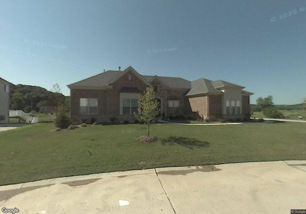
16 Flagstick Ct Saint Louis, MO 63127
Estimated Value: $794,959 - $1,024,000
3
Beds
4
Baths
3,424
Sq Ft
$264/Sq Ft
Est. Value
About This Home
This home is located at 16 Flagstick Ct, Saint Louis, MO 63127 and is currently estimated at $902,740, approximately $263 per square foot. 16 Flagstick Ct is a home located in St. Louis County with nearby schools including Concord Elementary School, Sperreng Middle School, and Lindbergh High School.
Ownership History
Date
Name
Owned For
Owner Type
Purchase Details
Closed on
Aug 7, 2019
Sold by
Phruttitum Serin and Luangjamekor Phruttitum Mena
Bought by
Phruttitum Serin and Luangjamekor Phruttitum Mena
Current Estimated Value
Home Financials for this Owner
Home Financials are based on the most recent Mortgage that was taken out on this home.
Original Mortgage
$484,300
Outstanding Balance
$319,482
Interest Rate
3.7%
Mortgage Type
New Conventional
Estimated Equity
$583,258
Purchase Details
Closed on
Oct 19, 2006
Sold by
Taylor Morley Inc
Bought by
Phruttitum Serin and Luangjamekorn Phruttitum Mena
Home Financials for this Owner
Home Financials are based on the most recent Mortgage that was taken out on this home.
Original Mortgage
$626,500
Interest Rate
6.46%
Mortgage Type
Purchase Money Mortgage
Create a Home Valuation Report for This Property
The Home Valuation Report is an in-depth analysis detailing your home's value as well as a comparison with similar homes in the area
Home Values in the Area
Average Home Value in this Area
Purchase History
| Date | Buyer | Sale Price | Title Company |
|---|---|---|---|
| Phruttitum Serin | -- | Investors Title Co Clayton | |
| Phruttitum Serin | $793,914 | None Available |
Source: Public Records
Mortgage History
| Date | Status | Borrower | Loan Amount |
|---|---|---|---|
| Open | Phruttitum Serin | $484,300 | |
| Closed | Phruttitum Serin | $626,500 |
Source: Public Records
Tax History
| Year | Tax Paid | Tax Assessment Tax Assessment Total Assessment is a certain percentage of the fair market value that is determined by local assessors to be the total taxable value of land and additions on the property. | Land | Improvement |
|---|---|---|---|---|
| 2025 | $8,107 | $132,070 | $25,800 | $106,270 |
| 2024 | $8,107 | $113,370 | $19,360 | $94,010 |
| 2023 | $8,089 | $113,370 | $19,360 | $94,010 |
| 2022 | $7,717 | $104,020 | $19,360 | $84,660 |
| 2021 | $7,678 | $104,020 | $19,360 | $84,660 |
| 2020 | $8,023 | $104,940 | $18,720 | $86,220 |
| 2019 | $8,002 | $104,940 | $18,720 | $86,220 |
| 2018 | $8,343 | $102,280 | $10,410 | $91,870 |
| 2017 | $8,253 | $102,280 | $10,410 | $91,870 |
| 2016 | $7,052 | $87,460 | $12,350 | $75,110 |
| 2015 | $6,958 | $87,460 | $12,350 | $75,110 |
| 2014 | $6,193 | $76,730 | $19,630 | $57,100 |
Source: Public Records
Map
Nearby Homes
- 13310 W Watson Rd
- 12871 Weber Hill Rd
- 12838 Weber Hill Rd
- 12830 Weber Hill Rd
- 13013 Stone Castle Ct
- 12856 Pointe Dr
- 12765 Zacharys Ridge
- 9515 Country Club Green
- 12410 Grandview Lake Dr
- 0 Unknown Unit MIS25071866
- 0 Unknown Unit MIS25071884
- 12932 Sunset Bluff Ct
- 315 Water St
- 28 Black Oak Dr
- 305 Hays Hill Dr
- 1227 Park Meadow Dr
- 9418 Sunset Reserve Dr
- 12259 Sunset Reserve Ct
- 9320 Lincoln Dr
- 12685 Alberts Laumeier Ct
- 12 Flagstick Ct
- 15 Flagstick Ct
- 8 Flagstick Ct
- 24 Flagstick Ct
- 23 Flagstick Ct
- 11 Flagstone Terrace
- 7 Flagstick Ct
- 4 Flagstick Ct
- 3 Flagstick Ct
- 9524 Fringe Ct
- 13320 W Watson Rd
- 13328 W Watson Rd
- 13314 W Watson Rd
- 13336 W Watson Rd
- 13344 W Watson Rd
- 9449 Caddyshack Cir
- 9521 Fringe Ct
- 9520 Fringe Ct
- 9448 Caddyshack Cir
- 9445 Caddyshack Cir
Your Personal Tour Guide
Ask me questions while you tour the home.