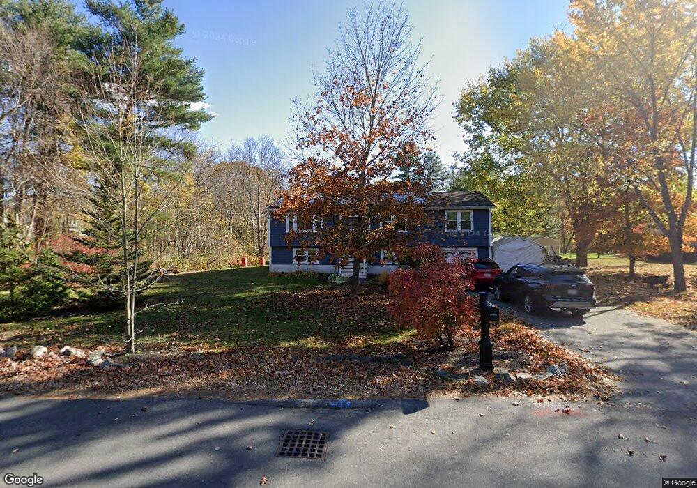
16 Folly Mill Rd Salisbury, MA 01952
Estimated Value: $622,519 - $904,000
4
Beds
2
Baths
1,850
Sq Ft
$405/Sq Ft
Est. Value
About This Home
This home is located at 16 Folly Mill Rd, Salisbury, MA 01952 and is currently estimated at $748,380, approximately $404 per square foot. 16 Folly Mill Rd is a home located in Essex County with nearby schools including Triton Regional High School and Amesbury Seventh-Day Adventist School.
Ownership History
Date
Name
Owned For
Owner Type
Purchase Details
Closed on
Aug 30, 2007
Sold by
Standley Deborah A and Standley William F
Bought by
Stamas Andrea H and Koob Kristine
Current Estimated Value
Home Financials for this Owner
Home Financials are based on the most recent Mortgage that was taken out on this home.
Original Mortgage
$339,000
Interest Rate
6.71%
Mortgage Type
Purchase Money Mortgage
Create a Home Valuation Report for This Property
The Home Valuation Report is an in-depth analysis detailing your home's value as well as a comparison with similar homes in the area
Home Values in the Area
Average Home Value in this Area
Purchase History
| Date | Buyer | Sale Price | Title Company |
|---|---|---|---|
| Stamas Andrea H | $339,000 | -- |
Source: Public Records
Mortgage History
| Date | Status | Borrower | Loan Amount |
|---|---|---|---|
| Open | Stamas Andrea H | $321,950 | |
| Closed | Stamas Andrea H | $339,000 | |
| Closed | Stamas Andrea H | $339,000 | |
| Previous Owner | Stamas Andrea H | $64,000 |
Source: Public Records
Tax History Compared to Growth
Tax History
| Year | Tax Paid | Tax Assessment Tax Assessment Total Assessment is a certain percentage of the fair market value that is determined by local assessors to be the total taxable value of land and additions on the property. | Land | Improvement |
|---|---|---|---|---|
| 2025 | $4,697 | $466,000 | $167,700 | $298,300 |
| 2024 | $4,464 | $427,200 | $167,700 | $259,500 |
| 2023 | $4,490 | $395,200 | $167,700 | $227,500 |
| 2022 | $4,335 | $369,400 | $152,500 | $216,900 |
| 2021 | $4,101 | $345,800 | $152,500 | $193,300 |
| 2020 | $3,661 | $319,500 | $152,500 | $167,000 |
| 2019 | $3,808 | $306,400 | $152,500 | $153,900 |
| 2018 | $3,772 | $307,200 | $152,500 | $154,700 |
| 2017 | $3,577 | $287,000 | $130,700 | $156,300 |
| 2016 | $3,219 | $275,800 | $124,100 | $151,700 |
| 2015 | $3,004 | $255,700 | $124,100 | $131,600 |
Source: Public Records
Map
Nearby Homes
- 61 Folly Mill Rd
- 84 Blacksnake Rd Unit A
- 84 Blacksnake Rd Unit B
- 2 Adder Ln
- 75 Border Winds Ave
- 106 Folly Mill Rd
- 1 Stacey Ln
- 51 Locust St
- 22 Maple Ridge Rd
- 57 Clinton St
- 1 Brown Ave Unit 1-37
- 1 Brown Ave Unit 3-80
- 213 New Hampshire 107
- 81 Elm Ct
- 10 High St
- 22 Huntington Ave
- 105 Market St Unit B
- 103 Market St Unit A
- 25 Whittier Meadows Dr
- 101 Market St Unit B
- 14 Folly Mill Rd
- 13 Folly Mill Rd
- 13 Folly Mill Rd
- 9 Folly Mill Rd
- 20 Folly Mill Rd
- 17 Folly Mill Rd
- 7 Folly Mill Rd
- 22 Folly Mill Rd
- 19 Folly Mill Rd
- 24 Folly Mill Rd
- 23 Folly Mill Rd
- 26 Folly Mill Rd
- 25 Folly Mill Rd
- 5 Folly Mill Rd
- 8 Folly Mill Rd
- 28 Folly Mill Rd
- 27 Folly Mill Rd
- 30 Elmwood St
- 30 Folly Mill Rd
- 6 Folly Mill Rd