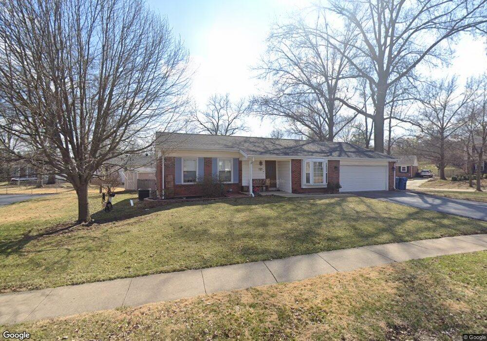
16 Foxhunt Dr Chesterfield, MO 63017
Estimated Value: $391,036 - $446,000
3
Beds
2
Baths
1,608
Sq Ft
$259/Sq Ft
Est. Value
About This Home
This home is located at 16 Foxhunt Dr, Chesterfield, MO 63017 and is currently estimated at $415,759, approximately $258 per square foot. 16 Foxhunt Dr is a home located in St. Louis County with nearby schools including Shenandoah Valley Elementary, Parkway Central Middle School, and Parkway Central High School.
Ownership History
Date
Name
Owned For
Owner Type
Purchase Details
Closed on
Jun 21, 2013
Sold by
Carson Rondal Alexander and Carson Stephanie M
Bought by
Carson Ronald Alexander and Carson Stephanie M
Current Estimated Value
Home Financials for this Owner
Home Financials are based on the most recent Mortgage that was taken out on this home.
Original Mortgage
$183,150
Outstanding Balance
$128,880
Interest Rate
3.25%
Mortgage Type
FHA
Estimated Equity
$286,879
Purchase Details
Closed on
Oct 30, 2008
Sold by
Wunderlich Teresa R
Bought by
Carson Rondal Alexander and Faix Stephanie M
Create a Home Valuation Report for This Property
The Home Valuation Report is an in-depth analysis detailing your home's value as well as a comparison with similar homes in the area
Home Values in the Area
Average Home Value in this Area
Purchase History
| Date | Buyer | Sale Price | Title Company |
|---|---|---|---|
| Carson Ronald Alexander | -- | Investors Title Co Clayton | |
| Carson Rondal Alexander | $200,000 | Investors Title Company |
Source: Public Records
Mortgage History
| Date | Status | Borrower | Loan Amount |
|---|---|---|---|
| Open | Carson Ronald Alexander | $183,150 |
Source: Public Records
Tax History Compared to Growth
Tax History
| Year | Tax Paid | Tax Assessment Tax Assessment Total Assessment is a certain percentage of the fair market value that is determined by local assessors to be the total taxable value of land and additions on the property. | Land | Improvement |
|---|---|---|---|---|
| 2025 | $3,949 | $75,520 | $45,770 | $29,750 |
| 2024 | $3,949 | $59,590 | $24,040 | $35,550 |
| 2023 | $3,788 | $59,590 | $24,040 | $35,550 |
| 2022 | $3,618 | $51,780 | $24,040 | $27,740 |
| 2021 | $3,603 | $51,780 | $24,040 | $27,740 |
| 2020 | $3,325 | $45,860 | $21,980 | $23,880 |
| 2019 | $3,252 | $45,860 | $21,980 | $23,880 |
| 2018 | $3,143 | $41,090 | $21,980 | $19,110 |
| 2017 | $3,058 | $41,090 | $21,980 | $19,110 |
| 2016 | $3,076 | $39,280 | $15,450 | $23,830 |
| 2015 | $3,224 | $39,280 | $15,450 | $23,830 |
| 2014 | $2,782 | $36,210 | $8,360 | $27,850 |
Source: Public Records
Map
Nearby Homes
- 39 White Plains Dr
- 1009 Cambridge Way Dr
- 5 Pittsfield Ct
- 94 Conway Cove Dr
- 86 Conway Cove Dr
- 948 Grand Reserve Dr
- 15486 Hitchcock Rd
- 862 Wellesley Place Dr
- 1110 Nooning Tree Dr
- 1102 Nooning Tree Dr
- 865 Forest Trace Dr Unit C
- 1237 Cedar Creek Rd
- 15000 S Outer 40 Rd
- 1511 Hampton Hall Dr Unit 19 & 20
- 15324 Appalachian Trail
- 1530 Bedford Forge Ct Unit 5
- 38 Baxter Ln
- 15593 Bedford Forge Dr Unit 6
- 1243 Still House Creek Rd
- 15300 Grantley Dr
- 36 White Plains Dr
- 14 Foxhunt Dr
- 17 Foxhunt Dr
- 43 White Plains Dr
- 45 White Plains Dr
- 34 White Plains Dr
- 41 White Plains Dr
- 19 Foxhunt Dr
- 12 Foxhunt Dr
- 40 White Plains Dr
- 5 Youngstown Ct
- 32 White Plains Dr
- 42 White Plains Dr
- 10 Foxhunt Dr
- 15 Foxhunt Dr
- 49 White Plains Dr
- 7 Youngstown Ct
- 4 Youngstown Ct
- 30 White Plains Dr
- 8 Foxhunt Dr