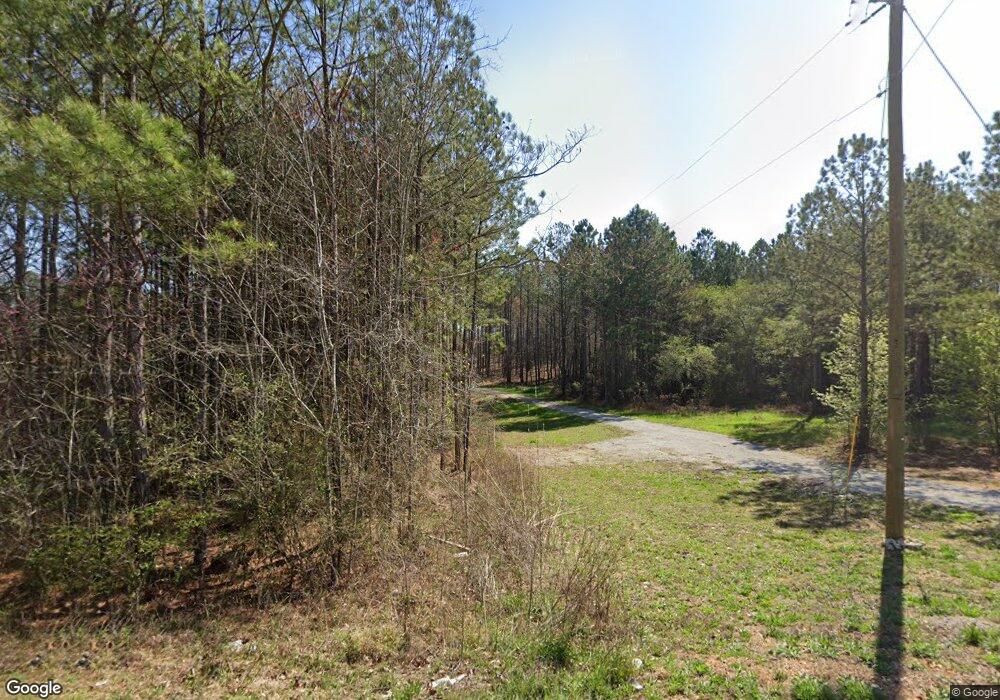
16 Friendship Rd Cedartown, GA 30125
Estimated Value: $312,000 - $347,280
3
Beds
2
Baths
1,884
Sq Ft
$178/Sq Ft
Est. Value
About This Home
This home is located at 16 Friendship Rd, Cedartown, GA 30125 and is currently estimated at $335,820, approximately $178 per square foot. 16 Friendship Rd is a home with nearby schools including Cedar Christian School.
Ownership History
Date
Name
Owned For
Owner Type
Purchase Details
Closed on
Mar 20, 2023
Sold by
Pizano Construction Inc
Bought by
Smith Janie
Current Estimated Value
Purchase Details
Closed on
Mar 29, 2018
Sold by
Westside Bank
Bought by
Pizano Construction Inc
Purchase Details
Closed on
Nov 10, 2014
Sold by
Apex Locators Llc
Bought by
Westside Bank
Purchase Details
Closed on
Feb 8, 2007
Sold by
Not Provided
Bought by
Apex Locators Llc
Purchase Details
Closed on
Jul 10, 2002
Sold by
Major Z V Jr Stanley Stephens E Byro
Bought by
Stephens Stanley
Create a Home Valuation Report for This Property
The Home Valuation Report is an in-depth analysis detailing your home's value as well as a comparison with similar homes in the area
Home Values in the Area
Average Home Value in this Area
Purchase History
| Date | Buyer | Sale Price | Title Company |
|---|---|---|---|
| Smith Janie | $300,000 | -- | |
| Pizano Construction Inc | $4,500 | -- | |
| Westside Bank | -- | -- | |
| Apex Locators Llc | -- | -- | |
| Stephens Stanley | $10,000 | -- |
Source: Public Records
Tax History Compared to Growth
Tax History
| Year | Tax Paid | Tax Assessment Tax Assessment Total Assessment is a certain percentage of the fair market value that is determined by local assessors to be the total taxable value of land and additions on the property. | Land | Improvement |
|---|---|---|---|---|
| 2024 | $2,467 | $132,498 | $5,996 | $126,502 |
| 2023 | $2,187 | $92,146 | $5,996 | $86,150 |
| 2022 | $95 | $3,998 | $3,998 | $0 |
| 2021 | $96 | $3,998 | $3,998 | $0 |
| 2020 | $96 | $3,998 | $3,998 | $0 |
| 2019 | $48 | $3,998 | $3,998 | $0 |
| 2018 | $110 | $3,998 | $3,998 | $0 |
| 2017 | $109 | $3,998 | $3,998 | $0 |
| 2016 | $195 | $7,166 | $7,166 | $0 |
| 2015 | $196 | $7,166 | $7,166 | $0 |
| 2014 | $197 | $7,166 | $7,166 | $0 |
| 2013 | -- | $7,165 | $7,165 | $0 |
Source: Public Records
Map
Nearby Homes
- 0 Mountain Home Rd Unit 1020-C 10351948
- 0 Mountain Home Rd Unit 1020-B 10351940
- 0 Mountain Home Rd Unit 1020-A 10351930
- 119 New Harmony Rd
- 151 Friendship Rd
- 255 Reynolds Rd
- 382 5th St
- 1849 Prior Station Rd Unit 76 ACRES
- 1849 Prior Station Rd
- 293 4th St
- 516 Branch St
- 512 Branch St
- 508 Branch St
- 35 Harris Loop
- 39 Summerwind Dr
- 28 Summerwind Dr
- 1200 N Cave Spring St
- 309 Walnut St
- 605 W Girard Ave
- 198 Mountain Home Rd
- 54 Friendship Rd
- 0 Mountain Home Rd Unit 6052728
- 0 Mountain Home Rd Unit 8413584
- 0 Mountain Home Rd Unit 8366455
- 0 Mountain Home Rd Unit 8321249
- 0 Mountain Home Rd Unit 8276794
- 0 Mountain Home Rd Unit 5924401
- 0 Mountain Home Rd Unit 5888158
- 0 Mountain Home Rd Unit 7363653
- 0 Mountain Home Rd Unit 7027367
- 0 Mountain Home Rd Unit 6 7394050
- 0 Mountain Home Rd Unit 31AC 8047653
- 0 Mountain Home Rd Unit 31ac 8105256
- 00 Mountain Home Rd
- 0 Mountain Home Rd
- 0 Mountain Home Rd Unit 7469499
- 0 Mountain Home Rd Unit 10390427
- 0 Mountain Home Rd Unit 7314094
- 0 Mountain Home Rd Unit 10192618
