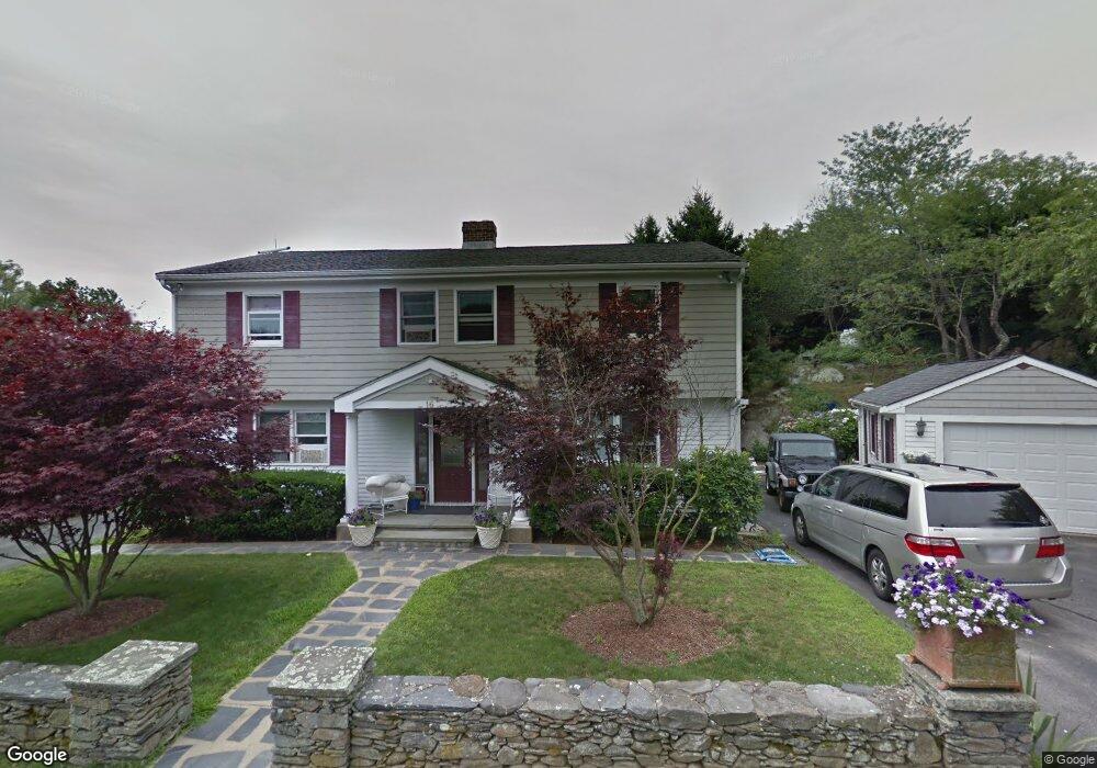
16 Gooseberry Rd Newport, RI 02840
Lily-Almy Pond NeighborhoodEstimated Value: $1,174,000 - $2,127,000
3
Beds
2
Baths
2,270
Sq Ft
$697/Sq Ft
Est. Value
About This Home
This home is located at 16 Gooseberry Rd, Newport, RI 02840 and is currently estimated at $1,582,760, approximately $697 per square foot. 16 Gooseberry Rd is a home located in Newport County with nearby schools including Rogers High School and St Michael's Country Day School.
Ownership History
Date
Name
Owned For
Owner Type
Purchase Details
Closed on
Feb 2, 2022
Sold by
Freitas Frank E
Bought by
Frank E Freitas Lt and Freitas
Current Estimated Value
Purchase Details
Closed on
May 8, 2013
Sold by
Pinheiro Melissa K
Bought by
Pinheiro Melissa K and Pinheiro John P
Home Financials for this Owner
Home Financials are based on the most recent Mortgage that was taken out on this home.
Original Mortgage
$50,000
Interest Rate
3.45%
Create a Home Valuation Report for This Property
The Home Valuation Report is an in-depth analysis detailing your home's value as well as a comparison with similar homes in the area
Home Values in the Area
Average Home Value in this Area
Purchase History
| Date | Buyer | Sale Price | Title Company |
|---|---|---|---|
| Frank E Freitas Lt | -- | None Available | |
| Pinheiro Melissa K | -- | -- | |
| Pinheiro Melissa K | -- | -- |
Source: Public Records
Mortgage History
| Date | Status | Borrower | Loan Amount |
|---|---|---|---|
| Previous Owner | Pinheiro Melissa K | $50,000 | |
| Previous Owner | Pinheiro Melissa K | $50,000 |
Source: Public Records
Tax History Compared to Growth
Tax History
| Year | Tax Paid | Tax Assessment Tax Assessment Total Assessment is a certain percentage of the fair market value that is determined by local assessors to be the total taxable value of land and additions on the property. | Land | Improvement |
|---|---|---|---|---|
| 2025 | $9,915 | $1,380,900 | $738,600 | $642,300 |
| 2024 | $9,625 | $1,380,900 | $738,600 | $642,300 |
| 2023 | $8,951 | $902,300 | $486,200 | $416,100 |
| 2022 | $8,671 | $902,300 | $486,200 | $416,100 |
| 2021 | $8,418 | $902,300 | $486,200 | $416,100 |
| 2020 | $6,960 | $677,000 | $381,900 | $295,100 |
| 2019 | $6,960 | $677,000 | $381,900 | $295,100 |
| 2018 | $6,763 | $677,000 | $381,900 | $295,100 |
| 2017 | $6,756 | $602,700 | $314,500 | $288,200 |
| 2016 | $6,588 | $602,700 | $314,500 | $288,200 |
| 2015 | $6,431 | $602,700 | $314,500 | $288,200 |
| 2014 | $6,395 | $530,300 | $245,900 | $284,400 |
Source: Public Records
Map
Nearby Homes
- 129 Ruggles Ave
- 70 Carroll Ave Unit 905
- 70 Carroll Ave Unit 510
- 11 Ocean Heights Rd
- 99 Roseneath Ave
- 63 Coggeshall Ave
- 13 Vaughan Ave
- 0 Meikle Ave
- 17 Meikle Ave Unit 19
- 91 Houston Ave
- 39 Connection St
- 46 Chastellux Ave Unit M6
- 519 Bellevue Ave Unit 1W
- 553 Bellevue Ave Unit 14
- 57 Clinton St Unit 57C
- 35 Chastellux Ave Unit I
- 601 Bellevue Ave
- 112 Harrison Ave Unit B
- 112 Harrison Ave
- 1 Harbor View Dr