16 Hawks Landing Amston, CT 06231
Estimated Value: $619,000 - $781,972
5
Beds
4
Baths
3,845
Sq Ft
$181/Sq Ft
Est. Value
About This Home
This home is located at 16 Hawks Landing, Amston, CT 06231 and is currently estimated at $696,991, approximately $181 per square foot. 16 Hawks Landing is a home located in Tolland County with nearby schools including Gilead Hill School, Hebron Elementary School, and RHAM Middle School.
Ownership History
Date
Name
Owned For
Owner Type
Purchase Details
Closed on
Jun 16, 2017
Sold by
Leshak Stephen and Leshak Angela F
Bought by
Stephen Leshak Lt
Current Estimated Value
Purchase Details
Closed on
Jul 7, 2004
Sold by
Roy John
Bought by
Lesnak Stephen and Lesnak Angela
Home Financials for this Owner
Home Financials are based on the most recent Mortgage that was taken out on this home.
Original Mortgage
$260,000
Interest Rate
6.32%
Create a Home Valuation Report for This Property
The Home Valuation Report is an in-depth analysis detailing your home's value as well as a comparison with similar homes in the area
Home Values in the Area
Average Home Value in this Area
Purchase History
| Date | Buyer | Sale Price | Title Company |
|---|---|---|---|
| Stephen Leshak Lt | -- | -- | |
| Lesnak Stephen | $434,366 | -- |
Source: Public Records
Mortgage History
| Date | Status | Borrower | Loan Amount |
|---|---|---|---|
| Previous Owner | Lesnak Stephen | $162,840 | |
| Previous Owner | Lesnak Stephen | $224,170 | |
| Previous Owner | Lesnak Stephen | $162,480 | |
| Previous Owner | Lesnak Stephen | $260,000 |
Source: Public Records
Tax History Compared to Growth
Tax History
| Year | Tax Paid | Tax Assessment Tax Assessment Total Assessment is a certain percentage of the fair market value that is determined by local assessors to be the total taxable value of land and additions on the property. | Land | Improvement |
|---|---|---|---|---|
| 2025 | $15,480 | $420,070 | $65,520 | $354,550 |
| 2024 | $14,492 | $420,070 | $65,520 | $354,550 |
| 2023 | $13,942 | $420,070 | $65,520 | $354,550 |
| 2022 | $13,316 | $420,070 | $65,520 | $354,550 |
| 2021 | $13,571 | $373,540 | $65,530 | $308,010 |
| 2020 | $13,571 | $373,540 | $65,530 | $308,010 |
| 2019 | $13,840 | $373,540 | $65,530 | $308,010 |
| 2018 | $13,985 | $373,540 | $65,530 | $308,010 |
| 2017 | $13,821 | $373,540 | $65,530 | $308,010 |
| 2016 | $12,841 | $360,290 | $98,840 | $261,450 |
| 2015 | $12,970 | $360,290 | $98,840 | $261,450 |
| 2014 | $11,091 | $310,240 | $98,840 | $211,400 |
Source: Public Records
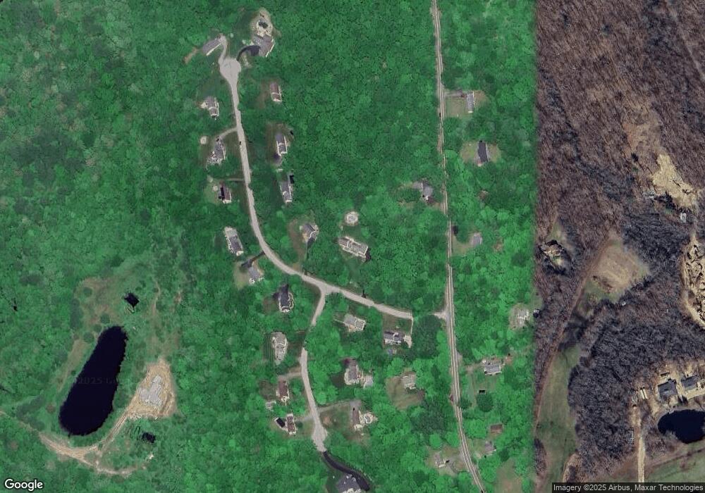
Map
Nearby Homes
- 223 Boretz Rd
- 319 Amston Rd
- 18 Spring Hill Rd
- 6 Village Ct Unit 6
- 24 Wood Acres Rd
- 282 Deepwood Dr
- 59 Park Rd
- 2 Lots on Deepwood Dr
- 39 Jaffee Terrace
- 0 Deepwood Dr
- 0 Park Rd Unit 24130670
- 710 Fieldstone Ct
- 76 Park Rd
- 0 Wildwood Dr
- 168 Park Ave
- 28 Hickory Rd
- 25 Woodland Dr
- 56 Norwich Ave
- 20 Mohegan Ln
- 338 Lebanon Ave Unit 16
- 940 Church St
- 26 Hawks Landing
- 13 Hawks Landing
- 5 Hawks Landing
- 947 Church St
- 28 Settlers Path
- 953 Church St
- 939 Church St
- 931 Church St
- 36 Hawks Landing
- 27 Hawks Landing
- 13 Settlers Path
- 31 Hawks Landing
- 31 Hawks Landing
- 967 Church St
- 8 Settlers Path
- 976 Church St
- 46 Hawks Landing
- 969 Church St
- 37 Hawks Landing