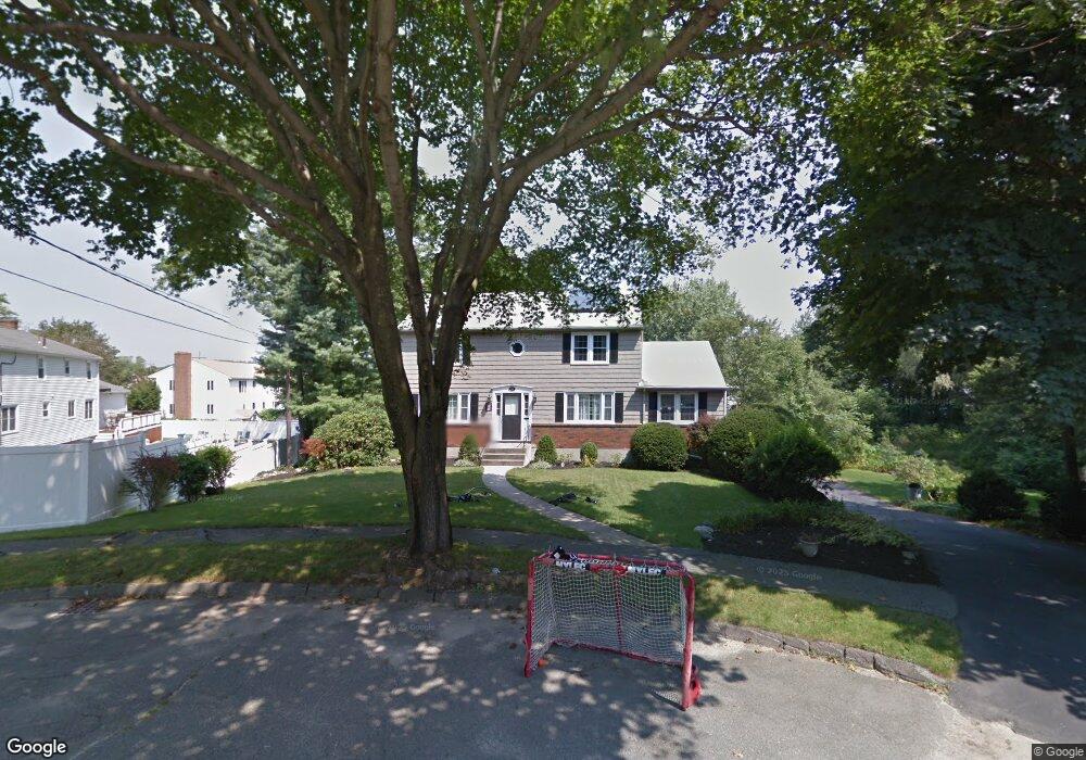
16 High Rock Cir Waltham, MA 02451
Lakeview NeighborhoodEstimated Value: $918,000 - $982,000
4
Beds
3
Baths
2,865
Sq Ft
$330/Sq Ft
Est. Value
About This Home
This home is located at 16 High Rock Cir, Waltham, MA 02451 and is currently estimated at $944,340, approximately $329 per square foot. 16 High Rock Cir is a home located in Middlesex County with nearby schools including Douglas Macarthur Elementary School, John F Kennedy Middle School, and Waltham Sr High School.
Ownership History
Date
Name
Owned For
Owner Type
Purchase Details
Closed on
Jul 28, 2006
Sold by
Peters Alan and Peters Verona M
Bought by
Shaw James W
Current Estimated Value
Home Financials for this Owner
Home Financials are based on the most recent Mortgage that was taken out on this home.
Original Mortgage
$202,000
Outstanding Balance
$120,684
Interest Rate
6.67%
Mortgage Type
Purchase Money Mortgage
Estimated Equity
$823,656
Create a Home Valuation Report for This Property
The Home Valuation Report is an in-depth analysis detailing your home's value as well as a comparison with similar homes in the area
Home Values in the Area
Average Home Value in this Area
Purchase History
| Date | Buyer | Sale Price | Title Company |
|---|---|---|---|
| Shaw James W | $450,000 | -- | |
| Peters Alan | -- | -- |
Source: Public Records
Mortgage History
| Date | Status | Borrower | Loan Amount |
|---|---|---|---|
| Open | Shaw James W | $202,000 |
Source: Public Records
Tax History
| Year | Tax Paid | Tax Assessment Tax Assessment Total Assessment is a certain percentage of the fair market value that is determined by local assessors to be the total taxable value of land and additions on the property. | Land | Improvement |
|---|---|---|---|---|
| 2025 | $8,264 | $841,500 | $463,700 | $377,800 |
| 2024 | $7,856 | $814,900 | $441,600 | $373,300 |
| 2023 | $7,757 | $751,600 | $403,200 | $348,400 |
| 2022 | $7,758 | $696,400 | $364,800 | $331,600 |
| 2021 | $7,720 | $682,000 | $364,800 | $317,200 |
| 2020 | $7,664 | $641,300 | $345,600 | $295,700 |
| 2019 | $7,217 | $570,100 | $325,600 | $244,500 |
| 2018 | $6,561 | $520,300 | $301,400 | $218,900 |
| 2017 | $6,186 | $492,500 | $273,600 | $218,900 |
| 2016 | $5,805 | $474,300 | $255,400 | $218,900 |
| 2015 | $5,869 | $447,000 | $240,000 | $207,000 |
Source: Public Records
Map
Nearby Homes
- 44 Lakeview Terrace
- 11 Autumn Ln
- 89 Hardy Pond Rd
- 21 Lakeview Ave
- 8 Dobbins St
- 24 Barberry Rd
- 28 Hillcrest St
- 203 College Farm Rd
- 248 College Farm Rd
- 7 Field Rd
- 15 Cedarcroft Ln
- 86 Indian Rd
- 542 Concord Ave
- 14 Benjamin Rd
- 985 Trapelo Rd Unit 23
- 1105 Lexington St Unit 6-4
- 1105 Lexington St Unit 6-11
- 16 Winter St Unit 26C
- 353 Concord Ave
- 12 Curve St
- 15 Partridge Cir
- 22 High Rock Cir
- 29 Silver Hill Ln
- 19 Partridge Cir
- 39 Silver Hill Ln
- 21 High Rock Cir
- 4 High Rock Cir
- 56 Graymore Rd
- 5 High Rock Cir
- 48 Graymore Rd
- Lot 3 Rock Ln
- 66 Graymore Rd
- 40 Graymore Rd
- 76 Graymore Rd
- 32 Silver Hill Ln
- 20 Partridge Cir
- 15 High Rock Cir
- 32 Graymore Rd
- 14 Partridge Cir
- 40 Silver Hill Ln
Your Personal Tour Guide
Ask me questions while you tour the home.