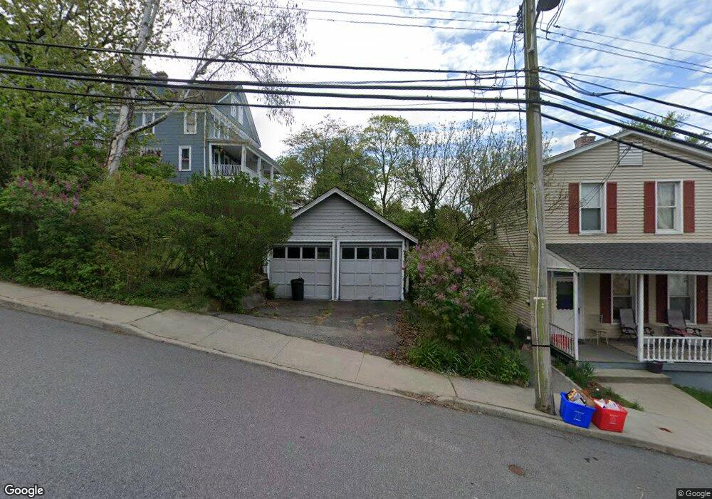
16 High St Croton On Hudson, NY 10520
Estimated Value: $662,000 - $727,000
--
Bed
--
Bath
--
Sq Ft
5,227
Sq Ft Lot
About This Home
This home is located at 16 High St, Croton On Hudson, NY 10520 and is currently estimated at $690,021. 16 High St is a home located in Westchester County with nearby schools including Carrie E Tompkins School, Pierre Van Cortlandt Middle School, and St. Augustine School.
Ownership History
Date
Name
Owned For
Owner Type
Purchase Details
Closed on
Apr 13, 2012
Sold by
Greece Marc and Greece Molly
Bought by
Greece Molly
Current Estimated Value
Purchase Details
Closed on
Sep 14, 2000
Sold by
Rich Charles S and Rich Ellen R
Bought by
Littman Michael and Bosshart Littman Marianne
Home Financials for this Owner
Home Financials are based on the most recent Mortgage that was taken out on this home.
Original Mortgage
$200,000
Interest Rate
7.88%
Mortgage Type
Purchase Money Mortgage
Purchase Details
Closed on
Sep 13, 2000
Sold by
Littman Michael and Bosshart Marianne
Bought by
Greece Marc and Greece Molly
Home Financials for this Owner
Home Financials are based on the most recent Mortgage that was taken out on this home.
Original Mortgage
$200,000
Interest Rate
7.88%
Mortgage Type
Purchase Money Mortgage
Create a Home Valuation Report for This Property
The Home Valuation Report is an in-depth analysis detailing your home's value as well as a comparison with similar homes in the area
Home Values in the Area
Average Home Value in this Area
Purchase History
| Date | Buyer | Sale Price | Title Company |
|---|---|---|---|
| Greece Molly | -- | The Judicial Title Insurance | |
| Littman Michael | $265,000 | Chicago Title Insurance Co | |
| Greece Marc | $232,000 | -- |
Source: Public Records
Mortgage History
| Date | Status | Borrower | Loan Amount |
|---|---|---|---|
| Previous Owner | Greece Marc | $200,000 |
Source: Public Records
Tax History Compared to Growth
Tax History
| Year | Tax Paid | Tax Assessment Tax Assessment Total Assessment is a certain percentage of the fair market value that is determined by local assessors to be the total taxable value of land and additions on the property. | Land | Improvement |
|---|---|---|---|---|
| 2024 | $9,663 | $4,700 | $225 | $4,475 |
| 2023 | $9,125 | $4,700 | $225 | $4,475 |
| 2022 | $9,192 | $4,700 | $225 | $4,475 |
| 2021 | $8,973 | $4,700 | $225 | $4,475 |
| 2020 | $8,254 | $4,700 | $225 | $4,475 |
| 2019 | $8,428 | $4,700 | $225 | $4,475 |
| 2018 | $10,925 | $4,700 | $225 | $4,475 |
| 2017 | $3,710 | $4,700 | $225 | $4,475 |
| 2016 | $9,011 | $4,700 | $225 | $4,475 |
| 2015 | -- | $4,700 | $225 | $4,475 |
| 2014 | -- | $4,700 | $225 | $4,475 |
| 2013 | -- | $4,700 | $225 | $4,475 |
Source: Public Records
Map
Nearby Homes
- 19 Hunter St
- 35 Brook St
- 43 High St
- 72 Old Post Rd N
- 25 S Riverside Ave Unit 201
- 25 S Riverside Ave Unit 308
- 25 S Riverside Ave Unit 108
- 25 S Riverside Ave Unit 211
- 20 Wolf Rd
- Lot 18 Wolf Rd
- 102 Maple St
- 152 Old Post Rd N
- 170 Grand St
- 34 Ridge Rd
- 56 Irving Ave
- D-20 Half Moon Bay Marina
- B-11 Half Moon Bay Marina Unit B-11
- 8 Prickly Pear Hill Rd
- 3 Prickly Pear Hill Rd
- 1260 Albany Post Rd
- 10 High St
- 9 Farrington Rd
- 8 High St
- 7 Farrington Rd
- 14 High St
- 11 Farrington Rd
- 61 N Riverside Ave
- 65 N Riverside Ave Unit 2
- 65 N Riverside Ave
- 8 Palmer Ave
- 57 N Riverside Ave
- 4 Palmer Ave
- 67 N Riverside Ave
- 10 Palmer Ave
- 55 N Riverside Ave
- 69 N Riverside Ave Unit 2
- 69 N Riverside Ave
- 12 Palmer Ave
- 71 N Riverside Ave
- 51 N Riverside Ave Unit 1ST FLR