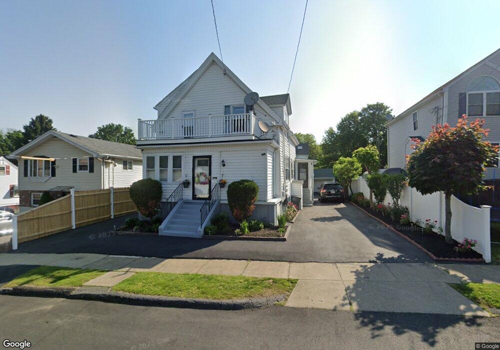
16 Hingston St Peabody, MA 01960
South Peabody NeighborhoodEstimated Value: $565,000 - $670,071
2
Beds
2
Baths
1,386
Sq Ft
$439/Sq Ft
Est. Value
About This Home
This home is located at 16 Hingston St, Peabody, MA 01960 and is currently estimated at $608,518, approximately $439 per square foot. 16 Hingston St is a home located in Essex County with nearby schools including Peabody Veterans Memorial High School, St John The Baptist School, and The Phoenix School.
Ownership History
Date
Name
Owned For
Owner Type
Purchase Details
Closed on
Dec 7, 2021
Sold by
Exarchos Lucas
Bought by
Exarchos Dimitrios
Current Estimated Value
Purchase Details
Closed on
Mar 13, 2003
Sold by
Exarchos Lucas
Bought by
Wheeler Robert
Purchase Details
Closed on
Aug 23, 1976
Bought by
Exarchos Lucas
Create a Home Valuation Report for This Property
The Home Valuation Report is an in-depth analysis detailing your home's value as well as a comparison with similar homes in the area
Home Values in the Area
Average Home Value in this Area
Purchase History
| Date | Buyer | Sale Price | Title Company |
|---|---|---|---|
| Exarchos Dimitrios | -- | None Available | |
| Wheeler Robert | -- | -- | |
| Exarchos Lucas | -- | -- |
Source: Public Records
Mortgage History
| Date | Status | Borrower | Loan Amount |
|---|---|---|---|
| Previous Owner | Exarchos Lucas | $100,000 |
Source: Public Records
Tax History
| Year | Tax Paid | Tax Assessment Tax Assessment Total Assessment is a certain percentage of the fair market value that is determined by local assessors to be the total taxable value of land and additions on the property. | Land | Improvement |
|---|---|---|---|---|
| 2025 | $3,724 | $402,200 | $210,500 | $191,700 |
| 2024 | $3,893 | $426,900 | $210,500 | $216,400 |
| 2023 | $3,691 | $387,700 | $183,100 | $204,600 |
| 2022 | $3,851 | $381,300 | $163,500 | $217,800 |
| 2021 | $3,770 | $359,400 | $148,600 | $210,800 |
| 2020 | $3,581 | $333,400 | $148,600 | $184,800 |
| 2019 | $4,192 | $380,700 | $148,600 | $232,100 |
| 2018 | $3,141 | $274,100 | $140,200 | $133,900 |
| 2017 | $3,275 | $278,500 | $140,200 | $138,300 |
| 2016 | $2,844 | $238,600 | $140,200 | $98,400 |
| 2015 | $2,929 | $238,100 | $140,200 | $97,900 |
Source: Public Records
Map
Nearby Homes
- 15 Swampscott Ave
- 111 Foster St Unit 416
- 111 Foster St Unit 305
- 98 Foster St
- 80 Foster St Unit 501
- 64 Foster St Unit 105
- 6 Rear Perkins St
- 176 Marlborough Rd
- 38-1/2 Ellsworth Rd
- 10 Park St
- 8 Crowninshield St Unit 410
- 2 Osborne St
- 10 Crowninshield St Unit 303
- 1 Fountain St
- 158 Lowell St Unit 4
- 6 Allen Rd
- 46 Walnut St
- 4R Forest St
- 21 Forest St
- 233 Lowell St Unit 1
- 16 1/2 Hingston St
- 16-1/2 Hingston St
- 14 Hingston St
- 15 Wheeler St
- 10 Hingston St
- 13 Wheeler St
- 17 Wheeler St
- 18A Hingston St
- 18 Hingston St
- 18 Hingston St Unit 1
- 18 Hingston St Unit A
- 11 Wheeler St
- 13 Hingston St
- 15 Hingston St
- 21 Wheeler St
- 17 Hingston St
- 9 Wheeler St
- 11 Hingston St
- 20 Hingston St
- 8 Hingston St
Your Personal Tour Guide
Ask me questions while you tour the home.