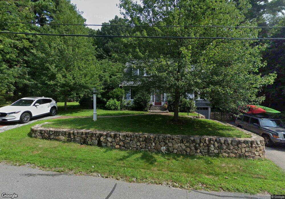
16 Indian Ridge Rd Sudbury, MA 01776
Estimated Value: $946,000 - $1,266,000
3
Beds
3
Baths
2,356
Sq Ft
$460/Sq Ft
Est. Value
About This Home
This home is located at 16 Indian Ridge Rd, Sudbury, MA 01776 and is currently estimated at $1,083,975, approximately $460 per square foot. 16 Indian Ridge Rd is a home located in Middlesex County with nearby schools including Israel Loring Elementary School, Ephraim Curtis Middle School, and Lincoln-Sudbury Regional High School.
Ownership History
Date
Name
Owned For
Owner Type
Purchase Details
Closed on
May 9, 2024
Sold by
Hawkins Edward A and Hawkins Judith W
Bought by
Hawkins Ft and Hawkins
Current Estimated Value
Purchase Details
Closed on
Sep 28, 1983
Bought by
Hawkins Edward A and Whelpley Judith L
Create a Home Valuation Report for This Property
The Home Valuation Report is an in-depth analysis detailing your home's value as well as a comparison with similar homes in the area
Home Values in the Area
Average Home Value in this Area
Purchase History
| Date | Buyer | Sale Price | Title Company |
|---|---|---|---|
| Hawkins Ft | -- | None Available | |
| Hawkins Ft | -- | None Available | |
| Hawkins Edward A | $90,000 | -- |
Source: Public Records
Mortgage History
| Date | Status | Borrower | Loan Amount |
|---|---|---|---|
| Previous Owner | Hawkins Edward A | $37,000 | |
| Previous Owner | Hawkins Edward A | $27,000 |
Source: Public Records
Tax History Compared to Growth
Tax History
| Year | Tax Paid | Tax Assessment Tax Assessment Total Assessment is a certain percentage of the fair market value that is determined by local assessors to be the total taxable value of land and additions on the property. | Land | Improvement |
|---|---|---|---|---|
| 2025 | $11,929 | $814,800 | $388,300 | $426,500 |
| 2024 | $11,517 | $788,300 | $377,000 | $411,300 |
| 2023 | $11,375 | $721,300 | $349,000 | $372,300 |
| 2022 | $10,594 | $586,900 | $320,300 | $266,600 |
| 2021 | $10,178 | $540,500 | $320,300 | $220,200 |
| 2020 | $9,972 | $540,500 | $320,300 | $220,200 |
| 2019 | $9,680 | $540,500 | $320,300 | $220,200 |
| 2018 | $9,958 | $555,400 | $341,600 | $213,800 |
| 2017 | $9,557 | $538,700 | $324,900 | $213,800 |
| 2016 | $9,258 | $520,100 | $312,600 | $207,500 |
| 2015 | $8,867 | $503,800 | $300,500 | $203,300 |
| 2014 | $8,847 | $490,700 | $291,700 | $199,000 |
Source: Public Records
Map
Nearby Homes
- 10 Bradley Place
- 23 Massasoit Ave
- 36 Concord Rd
- 94 Goodmans Hill Rd
- 271 Landham Rd
- 216 Landham Rd
- 1011 Boston Post Rd
- 6 Old County Rd Unit 16
- 270 Old Lancaster Rd
- 89 Bridle Path
- 24 Woodland Rd
- 0 Wagonwheel Rd
- 84 Hopestill Brown Rd
- 128 Nobscot Rd
- 63 Landham Rd
- 25 Bridle Path
- 7 Adams Rd
- 23 Cider Mill Rd
- 0 Robbins Rd
- 30 Nobscot Rd Unit 14
- Lots A & C Indian Ridge Rd
- 12 Indian Ridge Rd
- 15 Indian Ridge Rd
- 9 Indian Ridge Rd
- 22 Indian Ridge Rd
- 21 Pokonoket Ave
- 7 Bradley Place
- 6 Bradley Place
- Lot E Indian Ridge
- 9 Pokonoket Ave
- 24 Pokonoket Ave
- 28 Indian Ridge Rd
- 9 Allen Place
- 11 Bradley Place
- 23 Pokonoket Ave
- 14 Bradley Place
- 27 Pokonoket Ave
- 10 Pokonoket Ave
- 32 Indian Ridge Rd
- 11 Allen Place