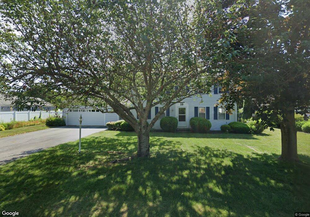
16 James Otis Rd Centerville, MA 02632
Centerville NeighborhoodEstimated Value: $697,293 - $727,000
4
Beds
2
Baths
1,999
Sq Ft
$359/Sq Ft
Est. Value
About This Home
This home is located at 16 James Otis Rd, Centerville, MA 02632 and is currently estimated at $717,073, approximately $358 per square foot. 16 James Otis Rd is a home located in Barnstable County with nearby schools including West Villages Elementary School, Barnstable United Elementary School, and Barnstable Intermediate School.
Ownership History
Date
Name
Owned For
Owner Type
Purchase Details
Closed on
May 21, 2025
Sold by
Knowlton Christine
Bought by
Knowlton Irt and Knowlton
Current Estimated Value
Purchase Details
Closed on
Sep 4, 2012
Sold by
Knowlton Christine and Knowlton Richard A
Bought by
Knowlton T T and Knowlton K
Purchase Details
Closed on
Jul 26, 2006
Sold by
Manfredi Carol A and Manfredi Richard N
Bought by
Knowlton Christine and Knowlton Richard Allen
Home Financials for this Owner
Home Financials are based on the most recent Mortgage that was taken out on this home.
Original Mortgage
$348,000
Interest Rate
6.67%
Mortgage Type
Purchase Money Mortgage
Create a Home Valuation Report for This Property
The Home Valuation Report is an in-depth analysis detailing your home's value as well as a comparison with similar homes in the area
Home Values in the Area
Average Home Value in this Area
Purchase History
| Date | Buyer | Sale Price | Title Company |
|---|---|---|---|
| Knowlton Irt | -- | None Available | |
| Knowlton Irt | -- | None Available | |
| Knowlton Christine | -- | None Available | |
| Knowlton Christine | -- | None Available | |
| Knowlton T T | -- | -- | |
| Knowlton T T | -- | -- | |
| Knowlton Christine | $435,000 | -- | |
| Knowlton Christine | $435,000 | -- |
Source: Public Records
Mortgage History
| Date | Status | Borrower | Loan Amount |
|---|---|---|---|
| Previous Owner | Knowlton Christine | $348,000 | |
| Previous Owner | Knowlton Christine | $65,250 |
Source: Public Records
Tax History
| Year | Tax Paid | Tax Assessment Tax Assessment Total Assessment is a certain percentage of the fair market value that is determined by local assessors to be the total taxable value of land and additions on the property. | Land | Improvement |
|---|---|---|---|---|
| 2025 | $5,361 | $662,700 | $152,600 | $510,100 |
| 2024 | $4,958 | $634,800 | $152,600 | $482,200 |
| 2023 | $4,611 | $552,900 | $138,700 | $414,200 |
| 2022 | $4,290 | $445,000 | $102,700 | $342,300 |
| 2021 | $4,392 | $418,700 | $102,700 | $316,000 |
| 2020 | $4,209 | $384,000 | $102,700 | $281,300 |
| 2019 | $4,332 | $384,000 | $102,700 | $281,300 |
| 2018 | $3,937 | $350,900 | $108,200 | $242,700 |
| 2017 | $3,701 | $344,000 | $108,200 | $235,800 |
| 2016 | $3,758 | $344,800 | $109,000 | $235,800 |
| 2015 | $3,690 | $340,100 | $105,700 | $234,400 |
Source: Public Records
Map
Nearby Homes
- 315 Prince Hinckley Rd
- 296 Buckskin Path
- 900 Old Stage Rd
- 87 Foxglove Rd
- 51 Larch Ln
- 1028 Old Falmouth Rd
- 62 Three Ponds Dr
- 82 Yacht Club Rd
- 7 Ebenezer
- 66 Tern Ln
- 200 Lumbert Mill Rd
- 324 Patriot Way
- 19 Marrick Ct
- 53 Meadow Farm Rd
- 52 Meadow Farm Rd
- 103 Pine Tree Dr
- 74 Saddler Ln
- 80 Branch Terrace
- 40 Sachem Dr
- 83 Lake Dr
- 33 Eben Smith Rd
- 24 James Otis Rd
- 45 Eben Smith Rd
- 22 Dolar Davis Rd
- 15 James Otis Rd
- 17 Eben Smith Rd
- 23 James Otis Rd
- 55 Eben Smith Rd
- 34 Eben Smith Rd
- 42 James Otis Rd
- 22 Eben Smith Rd
- 33 James Otis Rd
- 44 Eben Smith Rd
- 32 Dolar Davis Rd
- 17 Dolar Davis Rd
- 52 Eben Smith Rd
- 302 Prince Hinckley Rd
- 316 Prince Hinckley Rd
- 54 Eben Smith Rd
- 326 Prince Hinckley Rd
Your Personal Tour Guide
Ask me questions while you tour the home.