16 Kestrel Ln Unit 9 Westford, MA 01886
Estimated Value: $899,911 - $1,006,000
3
Beds
3
Baths
1,872
Sq Ft
$520/Sq Ft
Est. Value
About This Home
This home is located at 16 Kestrel Ln Unit 9, Westford, MA 01886 and is currently estimated at $972,978, approximately $519 per square foot. 16 Kestrel Ln Unit 9 is a home located in Middlesex County with nearby schools including Rita E. Miller Elementary School, Day Elementary School, and Stony Brook School.
Ownership History
Date
Name
Owned For
Owner Type
Purchase Details
Closed on
Jan 27, 2010
Sold by
Hawk Ridge Dev Llc
Bought by
Kanagavel Valarmathi and Ragupathi Govarthanaraj
Current Estimated Value
Home Financials for this Owner
Home Financials are based on the most recent Mortgage that was taken out on this home.
Original Mortgage
$394,000
Outstanding Balance
$259,716
Interest Rate
4.95%
Mortgage Type
Purchase Money Mortgage
Estimated Equity
$713,262
Create a Home Valuation Report for This Property
The Home Valuation Report is an in-depth analysis detailing your home's value as well as a comparison with similar homes in the area
Home Values in the Area
Average Home Value in this Area
Purchase History
| Date | Buyer | Sale Price | Title Company |
|---|---|---|---|
| Kanagavel Valarmathi | $492,800 | -- |
Source: Public Records
Mortgage History
| Date | Status | Borrower | Loan Amount |
|---|---|---|---|
| Open | Kanagavel Valarmathi | $394,000 |
Source: Public Records
Tax History Compared to Growth
Tax History
| Year | Tax Paid | Tax Assessment Tax Assessment Total Assessment is a certain percentage of the fair market value that is determined by local assessors to be the total taxable value of land and additions on the property. | Land | Improvement |
|---|---|---|---|---|
| 2025 | $11,373 | $844,300 | $0 | $844,300 |
| 2024 | $10,774 | $782,400 | $0 | $782,400 |
| 2023 | $10,952 | $742,000 | $0 | $742,000 |
| 2022 | $11,889 | $737,500 | $0 | $737,500 |
| 2021 | $10,455 | $628,300 | $0 | $628,300 |
| 2020 | $9,969 | $610,500 | $0 | $610,500 |
| 2019 | $10,227 | $617,600 | $0 | $617,600 |
| 2018 | $9,993 | $617,600 | $0 | $617,600 |
| 2017 | $9,383 | $571,800 | $0 | $571,800 |
| 2016 | $9,369 | $574,800 | $0 | $574,800 |
| 2015 | $7,954 | $489,800 | $0 | $489,800 |
| 2014 | $7,507 | $452,200 | $0 | $452,200 |
Source: Public Records
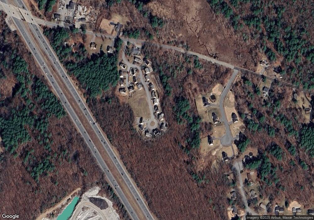
Map
Nearby Homes
- 23 Morrison Ln
- 0 Dunstable Rd
- 76 Russells Way
- 10 Dickens Ln
- 48 Mission Rd
- 180 Tyngsboro Rd Unit 3
- 5 Mission Rd Unit 203
- 24 Old Tyng Rd
- 1 Hope St
- 38 Scotty Hollow Dr Unit E
- 45 Riley Rd Unit 45
- 915 Wellman Ave Unit 915
- 123 Sherburne Ave
- 111 Sherburne Ave
- 7 Axletree Rd
- 109 Sherburne Ave
- 20 Highland Rd
- 22 Highland Rd
- 413 Wellman Ave Unit 413
- 415 Wellman Ave
- 18 Kestrel Ln Unit 10
- 18 Kestrel Ln
- 14 Kestrel Ln
- 14 Kestrel Ln Unit 8
- 12 Kestrel Ln
- 12 Kestrel Ln Unit 7
- 20 Kestrel Ln
- 15 Kestrel Ln Unit 15
- 15 Kestrel Ln
- 22 Kestrel Ln Unit 12
- 22 Kestrel Ln
- 17 Kestrel Ln Unit 14
- 10 Kestrel Ln Unit 6
- 10 Kestrel Ln
- 19 Kestrel Ln
- 19 Kestrel Ln Unit 13
- 7 Kestrel Ln
- 7 Kestrel Ln Unit 16
- 8 Kestrel Ln Unit 5
- 8 Kestrel Ln