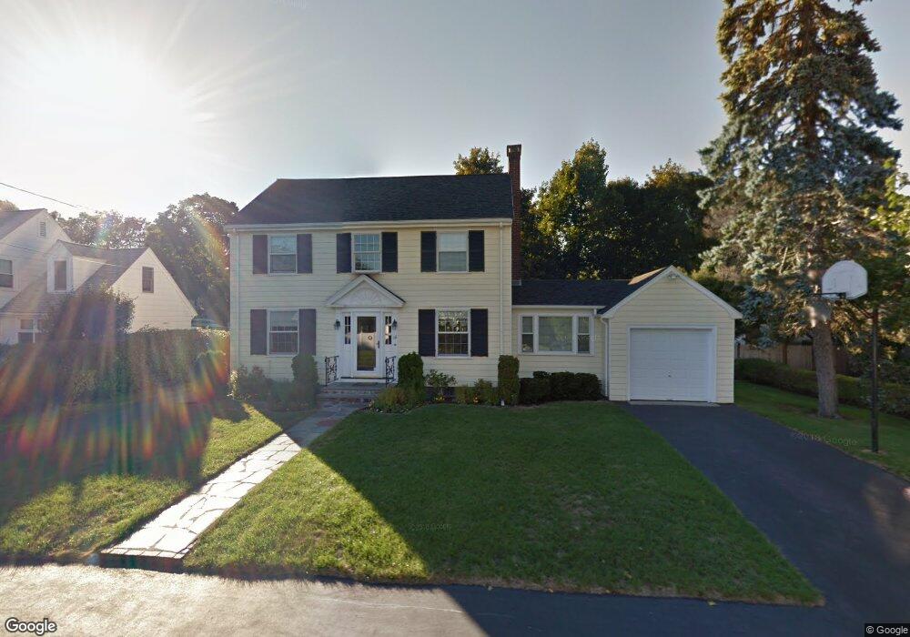
16 Lancaster Rd Needham, MA 02492
Estimated Value: $1,242,000 - $1,838,000
4
Beds
3
Baths
1,440
Sq Ft
$1,065/Sq Ft
Est. Value
About This Home
This home is located at 16 Lancaster Rd, Needham, MA 02492 and is currently estimated at $1,533,403, approximately $1,064 per square foot. 16 Lancaster Rd is a home located in Norfolk County with nearby schools including Broadmeadow Elementary School, High Rock Middle School, and Pollard Middle School.
Ownership History
Date
Name
Owned For
Owner Type
Purchase Details
Closed on
Apr 11, 1983
Bought by
Hamilton Edward P and Hamilton Virginia S
Current Estimated Value
Create a Home Valuation Report for This Property
The Home Valuation Report is an in-depth analysis detailing your home's value as well as a comparison with similar homes in the area
Home Values in the Area
Average Home Value in this Area
Purchase History
| Date | Buyer | Sale Price | Title Company |
|---|---|---|---|
| Hamilton Edward P | $126,000 | -- |
Source: Public Records
Mortgage History
| Date | Status | Borrower | Loan Amount |
|---|---|---|---|
| Open | Hamilton Edward P | $277,100 | |
| Closed | Hamilton Edward P | $281,700 | |
| Closed | Hamilton Edward P | $137,000 | |
| Closed | Hamilton Edward P | $145,000 |
Source: Public Records
Tax History
| Year | Tax Paid | Tax Assessment Tax Assessment Total Assessment is a certain percentage of the fair market value that is determined by local assessors to be the total taxable value of land and additions on the property. | Land | Improvement |
|---|---|---|---|---|
| 2025 | $11,868 | $1,119,600 | $779,100 | $340,500 |
| 2024 | $12,843 | $1,025,800 | $565,700 | $460,100 |
| 2023 | $12,857 | $986,000 | $565,700 | $420,300 |
| 2022 | $12,398 | $927,300 | $523,900 | $403,400 |
| 2021 | $12,083 | $927,300 | $523,900 | $403,400 |
| 2020 | $11,889 | $951,900 | $524,400 | $427,500 |
| 2019 | $11,016 | $889,100 | $476,700 | $412,400 |
| 2018 | $10,486 | $882,700 | $476,700 | $406,000 |
| 2017 | $9,920 | $834,300 | $476,700 | $357,600 |
| 2016 | $9,628 | $834,300 | $476,700 | $357,600 |
| 2015 | $9,419 | $834,300 | $476,700 | $357,600 |
| 2014 | $8,873 | $762,300 | $414,500 | $347,800 |
Source: Public Records
Map
Nearby Homes
- 60 Douglas Rd
- 28 Green St
- 31 Birds Hill Ave
- 883 Greendale Ave
- 126 Prince St
- 103 Aletha Rd
- 1204 Greendale Ave Unit 128
- 1202 Greendale Ave Unit 124
- 50 Sterling Rd
- 37 Cottage Cir
- 37 Cottage Cir Unit 37
- 1212 Greendale Ave Unit 300
- 1206 Greendale Ave Unit 217
- 1206 Greendale Ave Unit 201
- 242 Valley Rd
- 176 Highgate St
- 100 Bradford St
- 60 Sutton Rd
- 36 Otis St Unit 36
- 1034 Webster St
Your Personal Tour Guide
Ask me questions while you tour the home.