16 Laurel Dr Sherman, CT 06784
Estimated Value: $712,000 - $1,890,000
3
Beds
3
Baths
1,458
Sq Ft
$973/Sq Ft
Est. Value
About This Home
This home is located at 16 Laurel Dr, Sherman, CT 06784 and is currently estimated at $1,418,729, approximately $973 per square foot. 16 Laurel Dr is a home located in Fairfield County with nearby schools including Sherman School.
Ownership History
Date
Name
Owned For
Owner Type
Purchase Details
Closed on
Oct 10, 2017
Sold by
Hamman Dale S and Hamman Rebecca A
Bought by
Gilmanov Marat and Gilmanova Endzhe
Current Estimated Value
Purchase Details
Closed on
Jul 21, 2004
Sold by
Brinberg Herbert R
Bought by
Hamman Dale S and Hamman Rebecca A
Home Financials for this Owner
Home Financials are based on the most recent Mortgage that was taken out on this home.
Original Mortgage
$370,000
Interest Rate
6.28%
Mortgage Type
Purchase Money Mortgage
Create a Home Valuation Report for This Property
The Home Valuation Report is an in-depth analysis detailing your home's value as well as a comparison with similar homes in the area
Home Values in the Area
Average Home Value in this Area
Purchase History
| Date | Buyer | Sale Price | Title Company |
|---|---|---|---|
| Gilmanov Marat | $730,000 | -- | |
| Hamman Dale S | $231,250 | -- |
Source: Public Records
Mortgage History
| Date | Status | Borrower | Loan Amount |
|---|---|---|---|
| Previous Owner | Hamman Dale S | $76,800 | |
| Previous Owner | Hamman Dale S | $53,700 | |
| Previous Owner | Hamman Dale S | $406,281 | |
| Previous Owner | Hamman Dale S | $370,000 |
Source: Public Records
Tax History Compared to Growth
Tax History
| Year | Tax Paid | Tax Assessment Tax Assessment Total Assessment is a certain percentage of the fair market value that is determined by local assessors to be the total taxable value of land and additions on the property. | Land | Improvement |
|---|---|---|---|---|
| 2025 | $13,246 | $794,600 | $249,600 | $545,000 |
| 2024 | $13,000 | $794,600 | $249,600 | $545,000 |
| 2023 | $14,160 | $794,600 | $249,600 | $545,000 |
| 2022 | $14,446 | $794,600 | $249,600 | $545,000 |
| 2021 | $14,811 | $794,600 | $249,600 | $545,000 |
| 2020 | $15,185 | $794,600 | $249,600 | $545,000 |
| 2019 | $9,227 | $465,800 | $249,600 | $216,200 |
| 2018 | $9,323 | $458,600 | $216,300 | $242,300 |
| 2017 | $6,963 | $342,500 | $216,300 | $126,200 |
| 2016 | $6,963 | $342,510 | $216,300 | $126,210 |
| 2015 | $6,864 | $342,510 | $216,300 | $126,210 |
| 2014 | $6,795 | $342,510 | $216,300 | $126,210 |
Source: Public Records
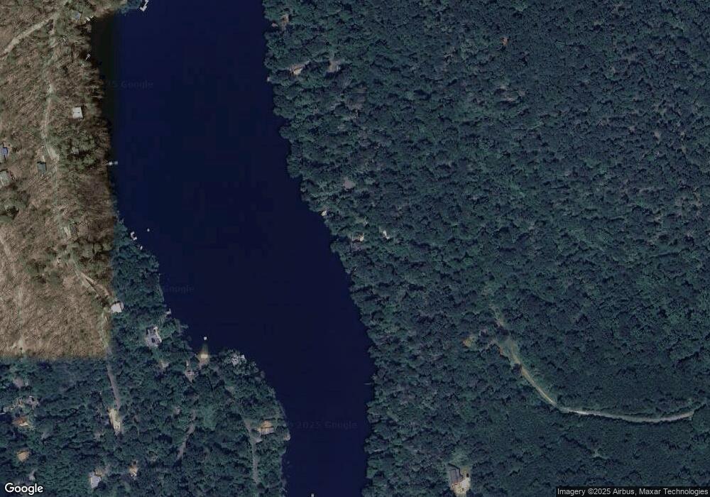
Map
Nearby Homes
- 6 Candlewood Common
- 23 Echo Dr
- 22 Candlewood Common
- 3 Candlewood Shore
- 29 Candlewood Common
- 34 Sherry Ln
- 35 Skyline Dr
- 262 Candlewood Lake Rd N
- 5 Sail Harbour Dr
- 0 Rte 39 South State Route
- 8 Candleview Dr
- 0 Wagon Wheel Rd Unit 24065102
- 47 Valley View Ln
- 57 Valley View Ln
- 80 Perry Dr
- 18 Fox Run
- 32 Sail Harbour Dr
- 5 Stone Wall Ln
- 4 Harbour View Dr
- 15 Misty Brook Ln
- 16 Laurel Dr S
- 14 Laurel Dr S
- 175 Green Pond Rd
- 177 Green Pond Rd
- 161 Green Pond Rd
- 163 Green Pond Rd
- 172 Green Pond Rd
- 11 Old Forest Rd
- 170 Green Pond Rd
- 157 Green Pond Rd
- 171 Green Pond Rd
- 155 Green Pond Rd
- 153 Green Pond Rd
- 7 Laurel Dr N
- 151 Green Pond Rd
- 146 Green Pond Rd
- 169 Green Pond Rd
- 3 Orchard Beach Rd
- 158 Green Pond Rd
- 7 Laurel Drive Dr N