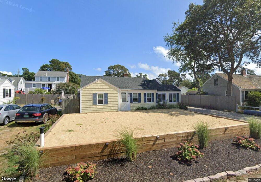
16 Laurel Rd Dennis Port, MA 02639
Dennis Port NeighborhoodEstimated Value: $499,000 - $589,058
3
Beds
1
Bath
749
Sq Ft
$743/Sq Ft
Est. Value
About This Home
This home is located at 16 Laurel Rd, Dennis Port, MA 02639 and is currently estimated at $556,265, approximately $742 per square foot. 16 Laurel Rd is a home located in Barnstable County with nearby schools including Dennis-Yarmouth Regional High School and St. Pius X. School.
Ownership History
Date
Name
Owned For
Owner Type
Purchase Details
Closed on
Mar 24, 2023
Sold by
Colbert Daniel J and Colbert Kathleen M
Bought by
K M Colbert 2023 Ret
Current Estimated Value
Purchase Details
Closed on
Jun 29, 2012
Sold by
Colbert Daniel and Colbert Kathleen
Bought by
Hardy Patrick F and Hardy Maria A
Home Financials for this Owner
Home Financials are based on the most recent Mortgage that was taken out on this home.
Original Mortgage
$100,000
Interest Rate
3.78%
Purchase Details
Closed on
Aug 9, 1990
Sold by
Barry William E
Bought by
Colbert Daniel
Home Financials for this Owner
Home Financials are based on the most recent Mortgage that was taken out on this home.
Original Mortgage
$75,200
Interest Rate
10.04%
Mortgage Type
Purchase Money Mortgage
Create a Home Valuation Report for This Property
The Home Valuation Report is an in-depth analysis detailing your home's value as well as a comparison with similar homes in the area
Home Values in the Area
Average Home Value in this Area
Purchase History
| Date | Buyer | Sale Price | Title Company |
|---|---|---|---|
| K M Colbert 2023 Ret | -- | None Available | |
| Hardy Patrick F | -- | -- | |
| Colbert Daniel | $94,000 | -- |
Source: Public Records
Mortgage History
| Date | Status | Borrower | Loan Amount |
|---|---|---|---|
| Previous Owner | Hardy Patrick F | $100,000 | |
| Previous Owner | Colbert Daniel | $63,000 | |
| Previous Owner | Colbert Daniel | $75,200 |
Source: Public Records
Tax History Compared to Growth
Tax History
| Year | Tax Paid | Tax Assessment Tax Assessment Total Assessment is a certain percentage of the fair market value that is determined by local assessors to be the total taxable value of land and additions on the property. | Land | Improvement |
|---|---|---|---|---|
| 2025 | $2,121 | $489,900 | $271,500 | $218,400 |
| 2024 | $1,976 | $450,100 | $261,100 | $189,000 |
| 2023 | $1,912 | $409,400 | $237,400 | $172,000 |
| 2022 | $1,735 | $309,900 | $187,100 | $122,800 |
| 2021 | $1,710 | $283,600 | $183,400 | $100,200 |
| 2020 | $16,204 | $274,300 | $183,400 | $90,900 |
| 2019 | $1,709 | $277,000 | $195,200 | $81,800 |
| 2018 | $14,130 | $259,300 | $185,900 | $73,400 |
| 2017 | $1,490 | $242,300 | $171,200 | $71,100 |
| 2016 | $1,441 | $220,700 | $161,400 | $59,300 |
| 2015 | $1,412 | $220,700 | $161,400 | $59,300 |
| 2014 | $1,339 | $210,900 | $151,600 | $59,300 |
Source: Public Records
Map
Nearby Homes
- 22 Ferncliff Rd
- 102 Sea St
- 37-A Beach Hills Rd
- 37 Beach Hills Rd
- 262 Old Wharf Rd Unit 67
- 262 Old Wharf Rd Unit 5
- 262 Old Wharf Rd Unit 5
- 262 Old Wharf Rd Unit 20
- 262 Old Wharf Rd Unit 87
- 402 Old Wharf Rd
- 402 Old Wharf Rd
- 405 Old Wharf Rd Unit B204
- 405 Old Wharf Rd Unit B204
- 31 Easy St
- 241 Old Wharf Rd Unit 82
- 241 Old Wharf Rd Unit 127
- 241 Old Wharf Rd Unit 90
- 11 Ocean Park W
- 22 Wixon Rd
- 217 Old Wharf Rd Unit 64