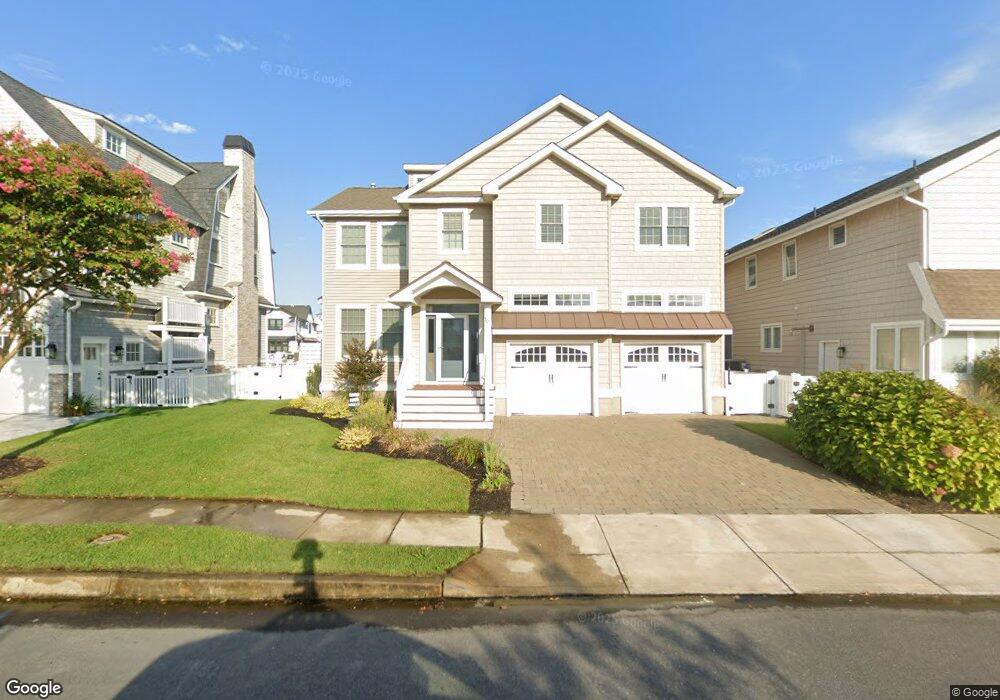
16 Leyte Ln Ocean City, NJ 08226
Estimated Value: $2,555,000 - $4,750,000
4
Beds
4
Baths
3,206
Sq Ft
$1,156/Sq Ft
Est. Value
About This Home
This home is located at 16 Leyte Ln, Ocean City, NJ 08226 and is currently estimated at $3,704,640, approximately $1,155 per square foot. 16 Leyte Ln is a home located in Cape May County with nearby schools including Ocean City Primary School, Ocean City Intermediate School, and Ocean City High School.
Ownership History
Date
Name
Owned For
Owner Type
Purchase Details
Closed on
Nov 5, 2010
Sold by
Seacliff Property Group Llc
Bought by
Santo Joseph L and Santo Denise
Current Estimated Value
Home Financials for this Owner
Home Financials are based on the most recent Mortgage that was taken out on this home.
Original Mortgage
$1,432,000
Outstanding Balance
$943,849
Interest Rate
4.25%
Mortgage Type
New Conventional
Estimated Equity
$2,760,791
Purchase Details
Closed on
Oct 27, 2006
Sold by
Estate Of Walter C Marden
Bought by
Seacliff Property Group Llc
Create a Home Valuation Report for This Property
The Home Valuation Report is an in-depth analysis detailing your home's value as well as a comparison with similar homes in the area
Home Values in the Area
Average Home Value in this Area
Purchase History
| Date | Buyer | Sale Price | Title Company |
|---|---|---|---|
| Santo Joseph L | $1,790,000 | None Available | |
| Seacliff Property Group Llc | $999,250 | None Available |
Source: Public Records
Mortgage History
| Date | Status | Borrower | Loan Amount |
|---|---|---|---|
| Open | Santo Joseph L | $1,432,000 |
Source: Public Records
Tax History Compared to Growth
Tax History
| Year | Tax Paid | Tax Assessment Tax Assessment Total Assessment is a certain percentage of the fair market value that is determined by local assessors to be the total taxable value of land and additions on the property. | Land | Improvement |
|---|---|---|---|---|
| 2025 | $18,679 | $1,664,800 | $812,200 | $852,600 |
| 2024 | $18,679 | $1,664,800 | $812,200 | $852,600 |
| 2023 | $17,830 | $1,664,800 | $812,200 | $852,600 |
| 2022 | $17,131 | $1,664,800 | $812,200 | $852,600 |
| 2021 | $16,731 | $1,664,800 | $812,200 | $852,600 |
| 2020 | $16,282 | $1,664,800 | $812,200 | $852,600 |
| 2019 | $16,099 | $1,664,800 | $812,200 | $852,600 |
| 2018 | $15,949 | $1,664,800 | $812,200 | $852,600 |
| 2017 | $15,699 | $1,664,800 | $812,200 | $852,600 |
| 2016 | $15,100 | $1,664,800 | $812,200 | $852,600 |
| 2015 | $14,900 | $1,664,800 | $812,200 | $852,600 |
| 2014 | $14,684 | $1,664,800 | $812,200 | $852,600 |
Source: Public Records
Map
Nearby Homes
- 2019 Glenwood Dr
- 71 Spruce Rd
- 4 Grenada Ln
- 9 Coral Ln
- 1906 Glenwood Dr
- 31 Spruce Rd
- 1904 Glenwood Dr
- 20 Gilbert Ln
- 1901 Glenwood Dr
- 38 Arkansas Ave
- 1909 Rosemar Ln
- 2104 Bay Ave
- 6 Walnut Rd
- 233 W 17th St
- 100 Reef Dr
- 100 Reef Dr Unit 94
- 195 W 17th St Unit 1
- 109 Easterly Dr Unit 130
- 170 W 17th St Unit 2
- 133 W 17th St