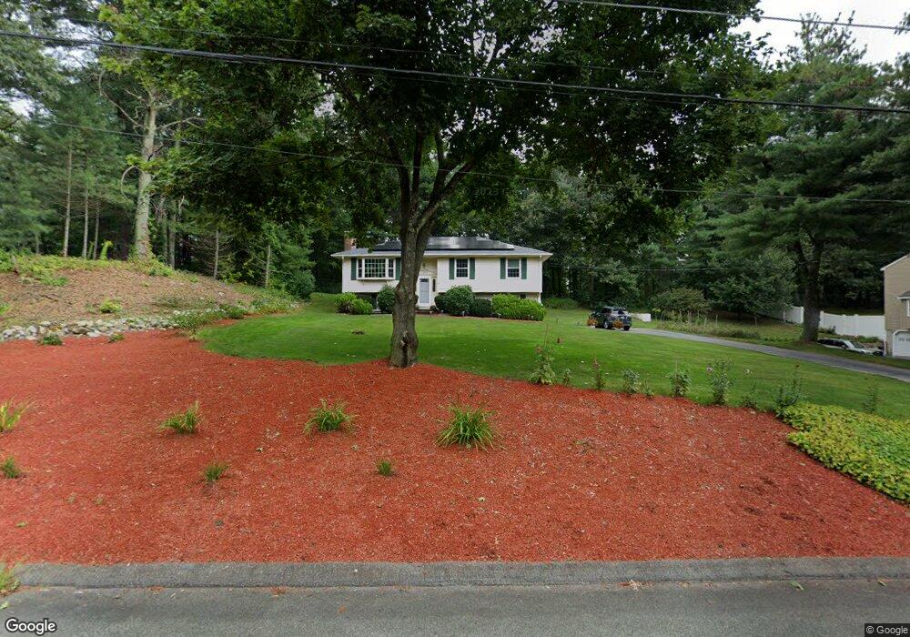
16 Longmeadow Rd Norfolk, MA 02056
Estimated Value: $623,543 - $685,000
3
Beds
2
Baths
1,132
Sq Ft
$582/Sq Ft
Est. Value
About This Home
This home is located at 16 Longmeadow Rd, Norfolk, MA 02056 and is currently estimated at $659,136, approximately $582 per square foot. 16 Longmeadow Rd is a home located in Norfolk County with nearby schools including H. Olive Day School, Freeman-Kennedy School, and Clifford Academy.
Ownership History
Date
Name
Owned For
Owner Type
Purchase Details
Closed on
Jun 21, 2022
Sold by
Corwin Rand S and Corwin Janice
Bought by
Corwin Family 2022 Irt
Current Estimated Value
Purchase Details
Closed on
Jul 8, 1986
Bought by
Corwin Rand S and Corwin Janice
Create a Home Valuation Report for This Property
The Home Valuation Report is an in-depth analysis detailing your home's value as well as a comparison with similar homes in the area
Home Values in the Area
Average Home Value in this Area
Purchase History
| Date | Buyer | Sale Price | Title Company |
|---|---|---|---|
| Corwin Family 2022 Irt | -- | None Available | |
| Corwin Rand S | $185,000 | -- |
Source: Public Records
Mortgage History
| Date | Status | Borrower | Loan Amount |
|---|---|---|---|
| Previous Owner | Corwin Rand S | $97,500 | |
| Previous Owner | Corwin Rand S | $85,000 | |
| Previous Owner | Corwin Rand S | $86,000 |
Source: Public Records
Tax History Compared to Growth
Tax History
| Year | Tax Paid | Tax Assessment Tax Assessment Total Assessment is a certain percentage of the fair market value that is determined by local assessors to be the total taxable value of land and additions on the property. | Land | Improvement |
|---|---|---|---|---|
| 2025 | $8,605 | $538,800 | $213,600 | $325,200 |
| 2024 | $7,886 | $506,500 | $213,600 | $292,900 |
| 2023 | $7,782 | $474,200 | $213,600 | $260,600 |
| 2022 | $8,015 | $440,400 | $199,800 | $240,600 |
| 2021 | $7,487 | $416,200 | $194,100 | $222,100 |
| 2020 | $7,048 | $378,100 | $176,400 | $201,700 |
| 2019 | $6,637 | $362,900 | $176,400 | $186,500 |
| 2018 | $6,247 | $335,500 | $176,400 | $159,100 |
| 2017 | $6,151 | $337,600 | $176,400 | $161,200 |
| 2016 | $6,010 | $332,400 | $176,400 | $156,000 |
| 2015 | $5,911 | $334,700 | $168,000 | $166,700 |
| 2014 | $5,872 | $336,900 | $168,000 | $168,900 |
Source: Public Records
Map
Nearby Homes
- 45 King St
- 6 Forest Grove Ave
- 38 Robin Rd
- 48 Mirror Lake Ave
- 14 Robin Rd
- 246 Forest Grove Ave
- 3 Pheasanthill Rd
- 10 W Birch Rd
- 2 Diamond St
- 26 Ridge Rd
- 45 Joshua Rd
- 23 Fredrickson Rd
- 14 Essex St
- 6 Trailside Way
- 50 Reed Fulton Ave Unit Lot 61
- 8 Analore Cir
- 46 Weber Farm Rd Unit 46
- 7 Keeney Pond Rd
- 71 Pond St
- 12 Keeney Pond Rd